Download
1 / 30
300 likes | 322 Views
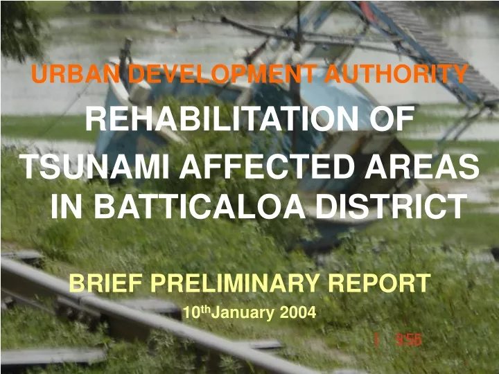
URBAN DEVELOPMENT AUTHORITY REHABILITATION OF TSUNAMI AFFECTED AREAS IN BATTICALOA DISTRICT BRIEF PRELIMINARY REPORT 10 th January 2004. CONTEXT IN BRIEF. Batticaloa District – 100 km coastline High rainfall in NE Monsoon and annual floods causing polluted water Severe Cyclone threat

E N D
URBAN DEVELOPMENT AUTHORITY REHABILITATION OF TSUNAMI AFFECTED AREAS IN BATTICALOA DISTRICT BRIEF PRELIMINARY REPORT 10thJanuary 2004
CONTEXT IN BRIEF • Batticaloa District – 100 km coastline • High rainfall in NE Monsoon and annual floods causing polluted water • Severe Cyclone threat • Highest population growth rate in the country (2.49%) and town (Kattankudy) having highest population density.
Batticaloa M. C. – the only 2nd order town ( No 1st order towns. ) • Livelihood in district: Fisheries - 22% of households Agriculture - 27% of households Other - 44% of households • 35% of children below 5 years – chronic malnutrition • Already many displaced families (owing to conflict situation) - 6836
Coastal Stretch – Series of saline, brackish and fresh water wetlands and continuous sandy beaches • Rest of district covered by forest and agricultural crops with numerous streams and water bodies • Most important agricultural crop – Paddy Other subsidiary flood crops – Vegetables, Onions and Chillies Subsistence level of production 10,960 acres fertile paddy land abandoned
Eastern Province Structure Plan, June 2004, Prepared by Environment & Management Lanka (Pvt.) Ltd. for NPPD • Statistical Handbook 2003 Batticaloa District available • Up-to-date Base Maps of suitable scales for detailed planning still not available • 1:50,000 map available. • 1:10,000 map for Batticaloa M.C. area only also available
2. POST-TSUNAMI DAMAGE ASSESSMENT & RELOCATION LAND AVAILABILITY • UDA Emergency Planning Team carried out a preliminary post-tsunami assessment between 1 – 4 January 2005: Interviewed G. A., Divisional Secretaries (affected divisions), Batticaloa Municipal Commissioner, TRO and Samurdhi Office Information Unit. • Obtained basic details on available lands – further details provided later by DSs. • Longer Term Transit Camps being planned by Team led by GA, incl. D.S.’s, LA leaders, LTTE. UDA officer also to be involved.
OBSERVATIONS (cont..) • Continuous cyclone threat along coastal strip & annual floods in low-lying areas of district • Much variation in width of tsunami affected coastal strip probably owing to variation in geomorphology. Completely destroyed - From 200 to 400 m Partially destroyed - Further 100 to 200m So far noted widest affected stretches – in Manmunai North (Batticaloa M. C.) D. S. Division and at Kaldudah
Destruction – mostly of seaside infrastructure (especially roads, bridges & electricity lines), fisheries settlements & fishing equipment incl. boats. • Mostly fisheries communities affected. • After tsunami & floods, large patches of polluted stagnant water in low-lying areas. • Debris, mud, garbage & scorched vegetation strewn everywhere. • Most large mature trees survived (deep-rooting spp. especially). • Wells in affected areas destroyed or become saline.
Destroyed houses & damaged Wells - Navalady fishing village - Batticaloa
Kalkudah and Pasekudah Bays – bodies and landmines were still being cleared (Pasekudah completely inaccessible) Sea level in the bays was said to be higher than before but Met. Dept. says this is temporary phenomenon.
In NPPD’s Eastern Province Structure Plan, 300 m “Buffer Zone” recommended from mean high water line of sea and 100 m “Buffer Zone” along lagoon banks. • Latest satellite images/aerial photographs immediately needed to demarcate widths accurately.
In general , large extents of State land available for new neighborhoods. In some cases privately owned vacant land also could be used. • According to TRO, most fisher families require single storey houses on at least 10 p. plots • According to Batticaloa M. Commissioner, 3 – 4 storey blocks of flats acceptable, even for some fisher families.
No. D.S. Division No. of Houses Damaged Fully Partly Total 01 Vakarai 4,100 177 4,277 02 KoralaiPattuCentral - - - 03 Oddamavady - - - 04 Valaichchenai 2,860 1,985 4,845 05 Kiran - - - 06 Chenkalady 2,750 4,440 7,190 07 EravurTown - - - NATURAL DISASTER – PARTICULARS OF AFFECTED FAMILIES BATTICALOA DISTRICT – 2004
No. D.S.Division No. of Houses Damaged Cont’d Fully Partly Total 08 Manmunai North 9,470 48 9,518 09 Vavunathivu - - - 10 Kattankudy 3,210 1,005 4,215 11 Arayampathy 2,050 1,800 3,850 12 Paddipalai - - - 13 Vallavely - - - 14 Kaluwanchikudy 4,560 2,030 6,590 Total 29,000 11,485 40,485
LANDS SO FAR IDENTIFIED FOR RE-SETTLEMENT IN BATTICALOA DISTRICT
TSUNAMI AFFECTED AREAS & RELOCATION LANDS IN BATTICALOA DISTRICT Batticaloa
RECOMMENDATIONS (pending obtaining more accurate & detailed data): • 300 m wide coastal belt from beach vegetation line (0.6m MSL) to be declared as “no-building” reservation for permanent tree crops or beach parks, to be afforested with suitable deep-rooting trees forming wind belts. Could also accommodate harbours,fisheries landing sites (& ancillary facilities). Monuments to be retained. • Further 200 m wide belt to be a limited development zone – only harbours, fisheries landing sites( & ancillary buildings/structures), tourism & recreation. Monuments permitted. • 100 m wide reservation for lagoons
RECOMMENDATIONS ( Cont..) • All residential (incl. fisheries settlements) & other building development should be beyond the 500m wide belt. (all above to be finalized after studying post-tsunami satellite images/aerial photographs). • Comprehensive Stormwater Drainage Schemes urgently required in all development zones, considering the terrain and the perennial flood problem. Existing roadside drains should be widened. Flood Detention Ponds/Areas should be designated. • Sewage disposal scheme needed for Batticaloa M. C. Area.
RECOMMENDATIONS (Cont..) • Eastern Province Structure Plan should be revised where necessary with due consideration of cyclone & tsunami threat. • Urban Development Plans, especially Zoning, should be expedited. • New Neighbourhoods/Townships should be concept for relocation (In-fill housing may be suitable in some parts of Batticaloa town). • Manmunai North housing could be commenced immediately, working with Batticaloa M. C. • Fisheries communities should be assisted quickly; repairs/replacement of boats ,etc.
No. DS Div. Housing Type needed Rough No of such houses & cost per house Rough Cost Estimate for House Construction Rs. Rough Cost Estimate of land for relocation Rough Cost Estimate of Land Development t& Infrastructure No. of floor Sq. ft 1. Manmunai North 4 flats 600 5000 1,200,000 6,000,000,000 Manmunai North 2 600 4000 800,000 3,600,000,000 - - 2. Kattankudy 1 600 4215 500,000 2,104,000,000 - - 3. Paddipalai (Manmunai South West) - - - - - - Table 2: BATTICALOA DISTRICT TSUNAMI AFFECTED AREAS ROUGH COST ESTIMATE FOR HOUSING RELOCATION
4. Vellavely (Parathiv Pattu) - - - - - - 5. Aragampathy (Manminai Pattu) 1 600 3850 500,000 1,928,000,000/- - - 6. Vakarai (Koralai Pattu North) 4277 500,000 2,138,500,000/- 7. Oddamavady (Koralai Pattu West) - - - - - - 8. Kiran (Koralai Pattu South) - - - - - - 9. Chenkalady (Eravur Pattu) 1 600 7190 500,000 3,595,000,000/ - - 10. Valaichchenai (Koralai Pattu) 1 600 4845 500,000 2,422,500,000/ 11. Kaluwanchikudy (Manmunai South & Eravur Pattu) 1 600 6590 500,000 3,295,000,000/ 25,083,000,000/-