Download
1 / 23
230 likes | 329 Views
Technical assistance from Republic of Latvia offered to Iraq in the field of architectural sites documentation by photogrammetrical methods Mr. G.Goldbergs Mr. M.Kalinka Riga Technical University. Aim of training programme.

E N D
Technical assistance from Republic ofLatvia offered to Iraq in the field ofarchitecturalsites documentation by photogrammetrical methodsMr. G.GoldbergsMr. M.KalinkaRiga Technical University
Aim of training programme • To show and to learn in practice the combination a modern total station and a non-metric digital camera to derive digital orthoimages of architectural objects - Digital orthoimages provide most of the geometric andradiometric information required for documentation of facades
The main steps of creation of orthoimages • camera calibration • make the geodetical network to measure the controlmarks on the object • take the photography • image triangulation • digital surface model (DSM) creation and editing • orthophoto creation • post processing of the data (vectorizing)
Evaluation of all the geometric distortions Two Dimensional Adjustment Interior Orientation Distortion Original Image Fiducial Marks Control Points Camera Calibration Results Phototriangulation rectification of images DSM Original Image Projection Orthophoto Flow Chart for Digital Orthophoto
The technical equipment and software • digital camera with tripod • total station with tripod • reflecting sheets and reflecting prism • geodetical network adjusting software • camera calibration software or camera calibration test field • close range photogrammetrical software
Camera calibration - 2D dimensions calibration grid particular software PhotoModeler Pro 5.0 (Canada) - 4Mpix non-metric digital camera Olympus C-765Z.
Instability of the iterior orientations parameters using PhotoModeler Pro 5.0 • RMS f(c)= 0,026 mm RMS xp = 0,017 RMS yp = 0,009 mm • ~ 11 pixels ~7 pixels ~4 pixels • Shorter focal length of digital camera – larger instability of interior parameters • Necessary to perform camera calibration before each project (photo session)
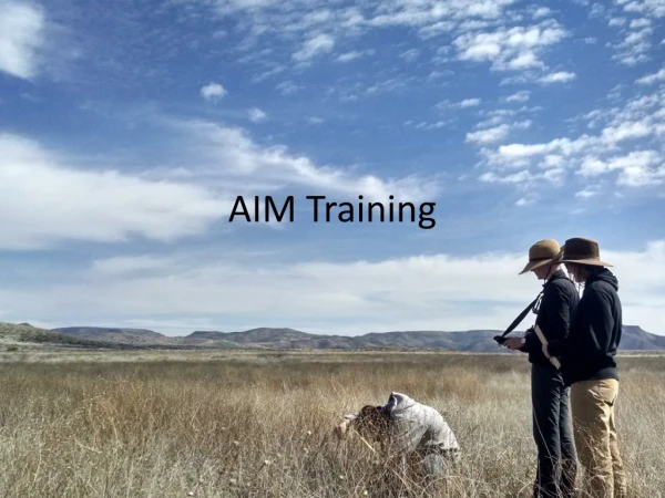
Geodetic network and control marks field • The geodetic network is very important to measure the control marks of the objects and connect all measurements together for 3D modeling. • The final result of image triangulation depends on the precision of the geodetic network and measuring methods of the control marks. • The special reflecting sheets on the white background are the best high precision technical material for putting the control marks. • To measure the control marks use the electronically tacheometry with minimum 5“ angle and 2 mm distance measuring precisions. • For training, weused the special SOKKIA reflector sheets and electronic tachometer SET 310.
Photography.The normal case geometry • B - photography base • m – image scale • D – distance between camera and object • c – focal length • l – image size
Phototriangulation • 6 signalized control points in four stereo models.
In architectural photogrammetry the relation betweenobject height differences and distance between camera and object is much bigger than in aerial photogrammetry. The errors in the digital surface models have a larger influence on the accuracy of the produced orthoimages, than in aerial photogrammetry. - The DSM was created using vectors and breaklines vectorized manually: Digital Surface model (DSM)
Digital Surface model (DSM) - elevation matrix for part of the wall
Orthophoto 1 pixel = 5 mm
Documentation of cultural heritage • There are many various kindsof the documentation: -orthophoto of the parts of objects -3D model with pictures -2D model of the object geometry in CAD programs • Fusion of the results of geodetic survey, 3D laser scanner, photogrammetric and post-processing data • The joint CAD model may be used to derive all required plans, models, or visualizations.
More results north_centre_part west_centre_part
Conclusions • Amateur digital non-metric cameras under certain limited accuracy requirements can be used for wide low-accuracy photogrammetric purposes eg. buildings documentation etc. • The amateur digital cameras with number of pixels equal or more than 5 Mpix are well suited for photogrammetric purposes. • To minimize Y coordinateserrors, the image overlapping should be > 65% • The orthoimages and its digital surface models (DSM) are fastest way to provide most of the geometric and radiometric information required for the documentation of architectural /archaeological sites. • Defining and signalizing of control points and knowing coordinates of image projective centers could improve the accuracy of image triangulation.
Literature • Birute Ruzgiene, Vilnius Technical University. Performance evaluation of non-metric digital camera for photogrammetric application. Geodesy and cartography,2005, Vol XXXI,No1 • Albert Weidemann, Technical Univercity of Berlin, Digital orthoimages in architectural photogrammetry using digital surface models. Special Thanks To: Mr. J.Kletnieks, Mr. B.Deslandes, UNESCO, Government of the Republic of Latvia, State Land service of Latvia, Riga Technical Univercity