Download
1 / 25
250 likes | 345 Views
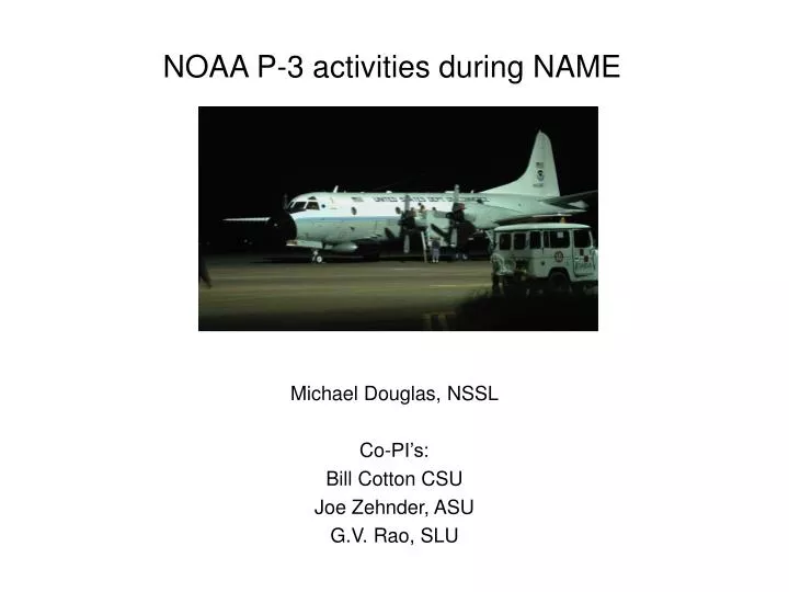
NOAA P-3 activities during NAME. Michael Douglas, NSSL Co-PI’s: Bill Cotton CSU Joe Zehnder, ASU G.V. Rao, SLU.

E N D
NOAA P-3 activities during NAME Michael Douglas, NSSL Co-PI’s: Bill Cotton CSU Joe Zehnder, ASU G.V. Rao, SLU
Comparison between a 1000-500 mb moisture flux analysis based on 11 years of radiosonde observations (left) and from diagnosis of vertically integrated water vapor flux model output from a recent study (after Bosilovich et al., 2003) Note the qualitative disagreement between the fields over the Gulf of California.
Five principal objectives of the P-3 flights • a) Mean moisture flux field estimation over the NAME tier 1 domain (6 flights, 48 h requested) • b) Vertical and horizontal variations of the low-level jet, and the associated moisture flux variability (2 flights, 16h requested) • c) Genesis of gulf surge events (2 flights, 16h requested) • d) Horizontal structure and evolution of the sea-land and mountain-valley breeze circulations (2 flights, 18h requested) • e) Mesoscale convective systems and/or their residuals (2 flights, 16 h)
Platform description: • Basic flight level parameters • Dropwindsonde capability (sondes ~$700 ea) • LF radar and tail doppler radar (is there a user?) • Limited flux measurement capability (is there a user?)
Measurements strategies... • P-3 flights will involve nearly all modes of aircraft operation: Porpoising flights for q-flux missions Porpoising and level-horizontal legs for LLJ missions Porpoising, level legs, and possible dropsonde deployment for MCS and surge genesis flights Level legs and short soundings for diurnal cycle flights
a) Mean moisture flux field estimation over the NAME tier 1 domain (6 flights, 48 h requested) These flights will provide an accurate estimate of the horizontal transport of water vapor into the southern Gulf of California during enhanced, normal, and reduced rainfall episodes over the NAME Tier 1 domain.
Basic climatology of July-August 1000-850 mb moisture flux over NAME region
All tracks would cover same set of legs around southern Gulf.
Example of P-3 data at 850 mb obtained during one SALLJEX porpoising flight on Feb 6, 2003
Sounding spatial density depends on the ascent rate and the vertical extent of the soundings... Assumptions: 300 m/min from 100m ASL to 2000 m ASL ~ 6.3 min + 1 min at bottom and 1 min at top gives ~ 15 min per cycle (2 soundings). This gives spatial density at top or bottom of sounding of ~ 100 km with airspeed of 225 kts.The spatial density of the observations is twice this (~ 50 km) at the intermediate level of ~1000m ASL...Eight (8) soundings per hour is another way to look at it, and for a ~7 hr flight this might be ~ 50+ soundings!
Problems with P-3 sampling of PBL...(daytime LLJ over drylands of S America)
b) Vertical and horizontal variations of the low-level jet, and the associated moisture flux variability (2 flights, 16h requested) P-3 flight across Gulf and then returning along center of Gulf provides both horizontal and vertical structure of the southerly flow. (flight plan schematic, subject to modification)
LLJ flight schematiclegs 1-6 porpoising from 100 m - 1400 m aslpattern at 7 (heavy line)6 levels, 3 min at each level, normal to wind...Legs 8-12 return porpoise from 100m to ~1200 m, inversion dependent.Last leg (12) along same line as leg 1 to check for time changes during flight(~8 hr flight)
c) Genesis of gulf surge events (2 flights, 16h requested) P-3 would provide detailed surface to mid-level (~500 mb) structure of mesoscale convective systems associated with surge genesis and also the mesoscale structure of the associated surge boundary propagating up the Gulf of California. Sounding network will not describe this with adequate resolution, especially over the Gulf of California.
d) Horizontal structure and evolution of the sea-land and mountain-valley breeze circulations (2 flights, 18h requested)To measure horizontal gradients associated with the sea-breeze /land-breeze and mountain /valley circulations at better resolution than can be provided by the NAME sounding network. These data are critical for comparisons with model simulations of the flow during specific events.P-3 data useful, but not critical, to this aspect... however, higher spatial resolution over ocean only feasible with aircraft - though shorter range aircraft could do this it would not have endurance for 8 hr etc...
e) Mesoscale convective systems and/or their residuals (2 flights, 16h)if over rugged terrain flights will be confined to above 10K ftmay involve either porpoising between 10K to 18K ft and doppler legs -dependent on stratiform precip)mapping of potential vorticity field (wind plus stability)over 700-500 mb layer
Data dissemination plan... • Data will be distributed by AOC/JOSS as soon as it is processed. No hold on data for other interested parties.
Field coordination requirements • IOP coordination: • How will we participate in coordination? Daily communication with Tucson Operations Center... but PI’s will make separate forecasts specific for P-3 activities in Mazatlan. • Will we need to coordinate with ship/aircraft and other systems? Coordination with sounding network may be desirable, but possibly not always feasible.Most likely coordination should be for moisture flux flights, to be held during some “normal” IOP days...
How will the sounding network be coordinated to satisfy budget study objectives and also sample special events? P-3 observations won’t directly contribute to budget study aspects of NAME, other than the moisture flux flights, which will be a self-contained activity... and only on a relatively small number of days. • Trade-offs between sampling anomalous versus special events...? P-3 would sample both typical days (LLJ and normal q-flux conditions) and anomalous days (gulf surge/strong LLJ, MCS, strong q-flux days) Flights to describe diurnal cycle should be as “climatological” as possible...
Expected coordination with data assimilation / modeling groups... • None yet arranged... But to a certain extent expected, especially for case studies and for validation of mean q-fluxes...