Download
1 / 18
180 likes | 327 Views
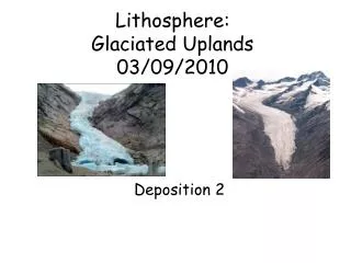
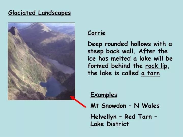
Glaciated Landscapes. Corrie Deep rounded hollows with a steep back wall. After the ice has melted a lake will be formed behind the rock lip , the lake is called a tarn. Examples Mt Snowdon – N Wales Helvellyn – Red Tarn – Lake District. Corrie - Helvelyn - Red Tarn (Lake D).

E N D
Glaciated Landscapes Corrie Deep rounded hollows with a steep back wall. After the ice has melted a lake will be formed behind the rock lip, the lake is called a tarn Examples Mt Snowdon – N Wales Helvellyn – Red Tarn – Lake District
Corrie - Helvelyn - Red Tarn (Lake D) Steep back wall Tarn Rock lip
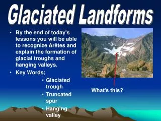
During ice age smaller tributary glaciers joined with larger ones in the main valley. • Glaciers in the main valley eroded more deeply • When ice melts smaller valleys left at a higher level. • Tributary streams descend to the main valley via a waterfall. Hanging Valley
Mt Everest - Pyramidal Peak When 3 or more corries cut into a mountain a pyramidal peak or horn develops. Arêtes separate the corries. Perhaps the most famous one is ? Corries either side
U Shaped Valley's U shaped, straight, wide flat floor with truncated spurs V shaped river valley – narrow floor, steep sided and winding
Langdale Valley • How do they form ? • Glacier moves down an existing river valley • Through abrasion and plucking it widens, deepens and straightens the valley • It removes the ends of interlocking spurs forming cliff like truncated spurs • The V shaped valley turns into a U shape
Arete - Striding Edge (Lake D) When 2 or more corries are side by side / back to back. They erode towards each other so that the land between them gets narrower and narrower until a knife edge ridge forms, called an Arête. Arete Back wall of corrie either side
Ribbon Lake - Thirlmere (L District) Long narrow lake, water may be dammed up behind terminal moraine Bottom of lake could be softer rock Can form when tributary glacier joins to add to the amount of erosion A lake in the bottom of a glacial trough formed by lots of plucking or deposition of moraine. There are many examples in the lake District such as Windermere, Buttermere or Coniston water.