Download
1 / 20
200 likes | 328 Views
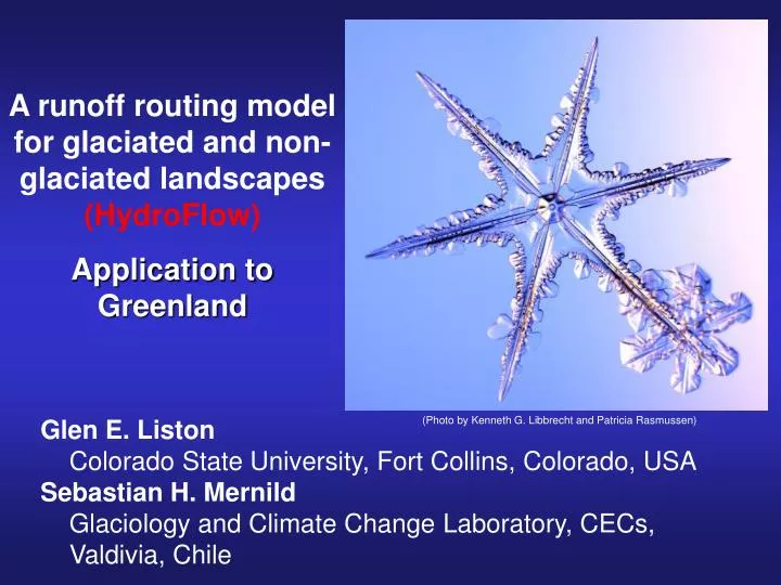
(Photo by Kenneth G. Libbrecht and Patricia Rasmussen) . A runoff routing model for glaciated and non-glaciated landscapes (HydroFlow ) Application to Greenland. Glen E. Liston Colorado State University, Fort Collins, Colorado, USA Sebastian H. Mernild

E N D
(Photo by Kenneth G. Libbrecht and Patricia Rasmussen) A runoff routing model for glaciated and non-glaciated landscapes (HydroFlow) Application to Greenland Glen E. Liston Colorado State University, Fort Collins, Colorado, USA Sebastian H. Mernild Glaciology and Climate Change Laboratory, CECs, Valdivia, Chile
SnowModel: A Spatially Distributed Snow-Evolution Modeling System (Liston and Elder 2006b). MicroMet – Micro-Meteorological Distribution Model (Liston and Elder 2006a) EnBal – Surface Energy Balance/Melt Model (Liston et al. 1999) SnowPack–Multi-Layer Snowpack Model (Liston and Mernild 2012) SnowTran-3D – Blowing and Drifting Snow Model (Liston and Sturm 1998; Liston et al. 2007) SnowAssim – Snow Data Assimilation Model (Liston and Hiemstra 2008)
Arctic Alaska (Stuefer et al. 2013) (Left) Interpolated snow observations. (Right) SnowAssim (with MicroMet and SnowModel) simulated (100-m grid) and observed (dots) snow water equivalent (SWE) on 21 April 2009.
MELTING SNOW Grid Cell Runoff
Runoff Routing Model HydroFlow
x For any grid cell in the flow network: x
Fast Discharge (relative units): Water Accumulates Downstream
Annual mean (1960-2010) Greenland runoff, km3 (color bars and black numbers) for basins and 8 main sectors. Length of discharge season in brackets (gray shades, days). Average 1960-2010:
X X X X x X X X X X X X X x
Key Results: From 1960 – 2010, Greenland runoff increased by 30%. 69% of the runoff was from the GrIS and 31% from outside the GrIS. 87% of the GrIS runoff increase was due to an increase in melt extent, 18% was from an increase in melt duration, and a 5% reduction resulted from a decrease in melt rates. The runoff increase from the land area surrounding the GrIS was due to a 0% change in melt extent, a reduction of 8% due to lower melt rates, with the remaining 108% coming from an increase in melt duration.
Additional information on HydroFlow and these Greenland simulations is available in the following publications: Liston, G. E., and S. H. Mernild, 2012: Greenland freshwater runoff. Part I: A runoff routing model for glaciated and non-glaciated landscapes (HydroFlow). J. Climate, 25, 5997-6014. Mernild, S. H., and G. E. Liston, 2012: Greenland freshwater runoff. Part II: Distribution and trends, 1960–2010. J. Climate, 25, 6015-6035.