Download
1 / 40
400 likes | 489 Views
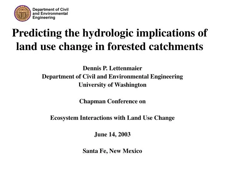
Predicting the hydrologic implications of land use change in forested catchments. Dennis P. Lettenmaier Department of Civil and Environmental Engineering University of Washington Chapman Conference on Ecosystem Interactions with Land Use Change June 14, 2003 Santa Fe, New Mexico.

E N D
Predicting the hydrologic implications of land use change in forested catchments Dennis P. Lettenmaier Department of Civil and Environmental Engineering University of Washington Chapman Conference on Ecosystem Interactions with Land Use Change June 14, 2003 Santa Fe, New Mexico
Outline of this talk • Background – the signature of land use change • Example 1 – Logging and flooding in the Pacific Northwest • Example 2 –Hydrologic effects of vegetation change in the upper Midwest • Some outstanding issues in prediction of hydrologic effects of land cover change
Estimated 1850 and 1990 global land cover Source: National Institute of Public Health and the Environment (RIVM, Netherlands) and the Center for Sustainability and the Global Environment (SAGE, University of Wisconsin).
Columbia River basin estimated 1900 and 1990 vegetation cover (from ICBEMP) Early Conifer Middle Conifer Late Conifer Early Deciduous Middle Deciduous Late Deciduous Brush Agriculture Water Current (1990) Historical (1900)
Assessment approach – spatially distributed hydrologic modeling
Mechanisms for hydrologic change • Rain-on-snow runoff generation • Channel manipulation via forest roads • Water table (hence saturated area changes) via altered evaporative demand • Combinations of above
Investigation of forest canopy effects on snow accumulation and melt Measurement of Canopy Processes via two 25 m2 weighing lysimeters (shown here) and additional lysimeters in an adjacent clear-cut. Direct measurement of snow interception
SWE difference for February 1996ROS event; harvest - no harvest More snow at beginning of event Less snow at end of event
Simulated response to forest harvestSub-basins of the Deschutes River, WA
Effect of forest roads on water table Drier with roads Wetter with roads
Simulated streamflow w/ and w/o forest roads Hard Creek Ware Creek Hard Creek Ware Creek
Bottom line: • Both vegetation removal and roads contribute to increased peak runoff • Effects more or less superimpose • For the Deschutes basin, each effect represents about a 10% increase in the ~10 yr flood • Relative magnitude of vegetation effect decreases with return period, road effect increases
DHSVM MASS WASTING SURFACE EROSION CHANNEL EROSION Qsed Q OUTPUT Sediment Modeling with the DHSVM Watershed Sediment Module Watershed Sediment Module
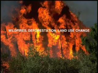
Portraying Watershed ChangeSediment Model Wildfire in the Icicle Creek basin
Multiple realizations of total failure locations Soil depth DEM Soil type Vegetation type MASS WASTING Multiple time series of sediment supply Soil cohesion Root cohesion Veg. Surcharge Friction angle P(F) Mass Wasting Module
Multiple time series of sediment supply Soil Precipitation Vegetation DEM SURFACE EROSION Roads and streams Distribution of sediment delivery to channels (roads and streams) Overland flow Surface Erosion Module
CHANNEL EROSION Distribution of sediment delivery to channels (roads and streams) Channel flow Channel Erosion Module Mean and standard deviation of sediment load for selected channel reaches
Probability of slope failure before and after Fourth of July Fire Pre-fire Approximate extent of August 2001 fire Post-fire Icicle Creek Vegetation
3) Example 2 –Hydrologic effects of vegetation change in the upper Midwest
Regional Land Use Change Presettlement Land Use Modern Land Use
Variable Infiltration Capacity (VIC) Macroscale Hydrologic Model • Full Energy Balance • Full Water Balance • Mosaic Vegetation Cover • Variable Infiltration Curve Generates Runoff • Arno Baseflow Curve
Evaporation Changes Presettlement Land Use Modern Land Use Evaporation (mm) Differences (mm)
Snow Cover Changes Presettlement Land Use Modern Land Use Snow Water Equivalence (mm) Differences (mm)
Calibrated Flow Comparison • Discharge was calibrated using: • Modern land use types • Discharge Observations from 1980-1989 • Plots compare discharge for the first 5 simulation years (1951-1955) • Discharge also generated for presettlement land use using the same parameters
Extreme Flow Comparison • Annual peak and low flow events for Water Years 1951-1995 • Compares simulated flow with presettlement and modern land use • Both peaks and low flows are greater with modern land use
Cumulative Flow Comparison • Cumulative discharge from 1951 to 1995 • Decreased evaporation from smaller forested areas yields more runoff with modern land use
4) Some outstanding issues in prediction of hydrologic effects of land cover change
1. The calibration problem 1965 Flood Hydrograph (Flood of Record) 1969 Flood Hydrograph Mississippi River at Anoka, MN
Effect of wildfire on simulated root cohesion 2. The model complexity problem