Download
1 / 26
260 likes | 369 Views
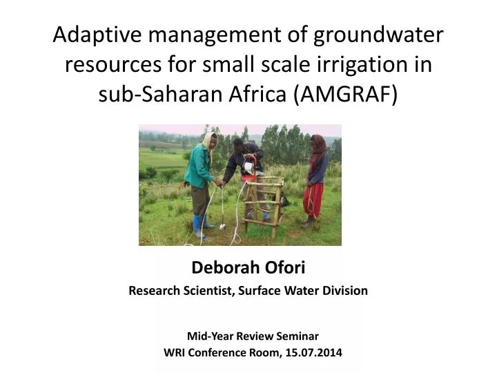
Adaptive management of groundwater resources for small scale irrigation in sub-Saharan Africa (AMGRAF). Deborah Ofori Research Scientist, Surface Water Division. Mid-Year Review Seminar WRI Conference Room, 15 .07.2014. Outline. Project Information

E N D
Adaptive management of groundwater resources for small scale irrigation in sub-Saharan Africa (AMGRAF) Deborah Ofori Research Scientist, Surface Water Division Mid-Year Review Seminar WRI Conference Room, 15.07.2014
Outline • Project Information • Background/Introduction of AMGRAF Baseline Study • Methodology • Progress of Study • Way Forward
Project Information Unlocking the Potential for Groundwater for the Poor (UPGro) • Aims: To enable developing countries in SSA to use groundwater in a sustainable way to benefit the poor
Project Information cont. Research Issues • Where GW, how and at what rate is it recharged, and how can it be more effectively and efficiently abstracted to meet local needs? • What is the state of the resource – quantity & quality; how will it respond to abstraction, impact of growing population, climate change, etc.? • What governance arrangements are needed to support this access in an inclusive and sustainable way, and in particular to reach the poorest and most marginalised groups?
Project Information cont. Funding • Natural Environment Research Council (NERC), Economic & Social Research Council (ESRC) & Department for International Development (DFID)-UK • 7-year international research programme - First Phase: Catalyst grant - Second Phase: Implementation of Main Project
Project Information cont. AMGRAF - Catalyst grant (12 months) • WRI (Ghana) & CSIR (South Africa)– Baseline Studies & Consortium building • Ethiopia – Pilot study Implementing Partners CSIR- Water Research Institute, International Water Management Institute (Ethiopia), Geological Survey, Ethiopia, CSIR (South Africa)
Project Information cont. • Aim: To enable sustainable development of accessible (shallow) groundwater for small-scale irrigation in sub-Saharan Africa • Concept: is that ‘accessibility’ is more important than aquifer potential • Working definition: Depth to groundwater should be less than 25 meters
AMGRAF Baseline Study • Title Assessment of Shallow Groundwater Irrigation in the Upper East Region of Ghana • Project Team Dr Emmanuel Obuobie(RS) Deborah Ofori(RS) Dr Emmanuel Obeng-Bekoe (RS) • Project Duration 1 Year (2013 –2014)
Introduction • Study area: Upper East Region (UER) • Land area: 8,842 km2 (4% of Ghana) • Slope: < 2% • Region is largely drained by the White and Red Volta rivers
Introduction cont. • Climate - UER • UER is located in the Sudan-savannah climate zone and can be described as semi-arid • Rainfall pattern is mono-modal with distinct wet (May-Sept/Oct) and dry (Nov-April)seasons • Rainfall is characterized by high temporal and spatial variability • Dry spells during rainy season • Mounting evidence of Climate variability and change • GW offers a more food secure alternative to rain-fed farming Long-term mean rainfall, PET and temperature at Bolgatanga (UER)
Introduction cont. • Demography & Socio-economic • Population in 2010 (GSS, 2012): 1,047,545 – 48 % males & 52% females • High population density (118 persons/km2) • Settlement is largely rural (84% rural, 16% urban) & large farming households (~ 6) • Predominant occupation is small scale farming (84 % of households)- GSS 2012 • >80 % of population live below official poverty line (GHC 90 or US $34) – GSS 2012 • About 80% of population depend on GW for water supply; GW for irrigation is limited
Introduction cont. Objectives • Understand the characteristics of shallow groundwater irrigation (SGI) • Assessment of groundwater (shallow) resources & characteristics • Understand groundwater governance structures and linkages at levels of management • Investigate socio-economic drivers for SGI
Methodology • Review of WRI work on groundwater • Review of studies on shallow irrigation (IWMI work & other studies)& groundwater assessment • Stakeholder consultation (Institutions, farmers, MOFA, etc.)
Progress of Study • Shallow groundwater Irrigation (SGI) • Resource Assessment
Shallow groundwater Irrigation • Major uses of groundwater in the UER • SGI is categorized as informal irrigation, mainly during dry season • low-lying areas such as flood plains, alluvial channels and valley bottoms where the water table is high • Manually tapped using simple tools & indigenous knowledge • Hand-dug wells usually less than 10 m deep
Shallow groundwater Irrigation cont. • Water is lifted & distributed using : rope and bucket/ container, &motorized pumps • Many farmers have 2 or more wells • Farm sizes ranges between 0.01-0.5 ha • Major Crops: tomatoes, onions, pepper, leafy vegetables • Farmers usually do not own the land; have some arrangements with landowners that allow them to cultivate
Progress of Study cont. • 2 main geological formations: Precambrian crystalline rocks & Paleozoic sedimentary consolidated rocks Resource Assessment
Resource Assessment cont. • Aquifer zones & types • 3 main Aquifer zones: weathered zone, bedrock-weathered zone interface, fractured zone Schematic representation of the hydrogeological profile in the Precambrian crystalline rock in the Upper East region (Obuobie et al., 2013)
Resource Assessment cont. • Borehole characteristics • Based on data from 2,458 successful boreholes District map of the Upper East Region (2008 map) Summary of borehole information in the Upper East Region (Agyekum et al., 2008)
Resource Assessment cont. • Groundwater Recharge • Recharge is mainly through precipitation (direct & indirect) • Contribution from regional aquifers is insignificant Groundwater recharge for specific locations in Ghana (Obuobie and Barry, 2012)
Resource Assessment cont. Simulations by Models • Obuobie & Ofori (2013): Huge potential for groundwater use in the Basin including the UER Groundwater development potential map of northern Ghana (source: Forkuoret al., 2013) Map of groundwater potential zones of Ghana (source: Gumma and Pavelic, 2012)
Resource Assessment cont. • Groundwater quality • Based on analysis of water samples from 214 boreholes Summary of groundwater quality in the Upper East Region ( Amuzu, 1974 cited in Agyekum et al., 2008)
Socio-economic & Governance • Stakeholder consultation is underway
Way Forward • Complete the stakeholder consultation process • Understand the socio-economic drivers for shallow ground irrigation • Identify key issues, challenges & opportunities for GW resources & SGI • Identify knowledge and data gaps in groundwater resource assessment, etc. • Identify knowledge gap in groundwater governance