Download
1 / 9
90 likes | 220 Views
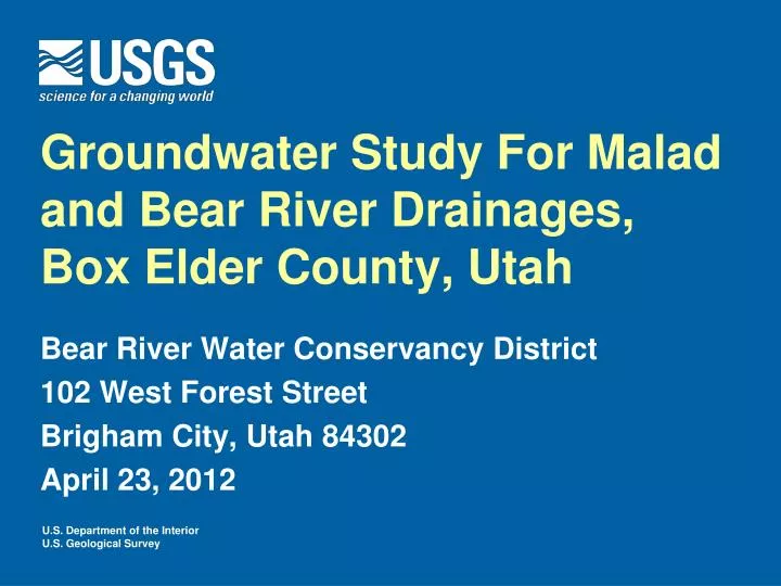
Groundwater Study For Malad and Bear River Drainages, Box Elder County, Utah. Bear River Water Conservancy District 102 West Forest Street Brigham City, Utah 84302 April 23, 2012. Role of U.S. Geological Survey.

E N D
Groundwater Study For Malad and Bear River Drainages, Box Elder County, Utah Bear River Water Conservancy District 102 West Forest Street Brigham City, Utah 84302 April 23, 2012
Role of U.S. Geological Survey Provide hydrologic data and understanding specifically designed to supportdecisions about groundwater development and surface-water rights • Cooperative Study UtahDivision of Water Rights U.S. Geological Survey • Length of Study March 2012 to March 2015 • Funding $360,000
Hydrologic System Groundwater ENTERS (recharges) the subsurface from the surrounding mountains and irrigated fields Groundwater EXITS (discharges) the subsurface along the Bear and Malad Rivers, springs, Bear River Bird Refuge, and Great Salt Lake
Effects of Groundwater Pumping The effects of groundwater pumping are a reduction in natural discharge from the aquifer, an increase in recharge to the aquifer, or some combination Controlling factors include: • Location of pumping wells • Permeability of the aquifer • Where natural discharge occurs • Where recharge occurs
Analysis Tool is Regional Groundwater Flow Model Simulates the interactions between streams, groundwater, springs, pumping, irrigation, and mountains recharge Includes: • Permeability of the consolidated rocks in the mountains • Permeability of the sand-silt-clay in the valley • Recharge from snow and rain • Recharge from irrigation • Discharge to wells, springs, streams, and plants
Groundwater Model Reflects Conditions in Early 1970’s Update to current conditions • Locations and amounts of irrigation • Additional wells • Discharge to streams and springs • Consideration of field drains
Collection and Examination of Additional Data Land owner cooperation for access to wells and other measurements sites is essential • Spring flows • Stream flows • Chemistry • Water levels • Field drains • Land-use changes
Groundwater Model Will Be Used To Create “Capture Map” San Pedro River, Arizona Capture maps shows the amount of water that is “captured” or diverted from flowing through the aquifer to the river, due to pumping at a well Example An estimated 60% to 70% of water pumped from wells located in yellow areas would normally flow through the aquifer and discharge to the San Pedro River
Contacts and References Lynette Brooks lebrooks@usgs.gov 801 908 5014 Tim McKinney tmckinney@usgs.gov 801 908 5060 Bert Stolp bjstolp@usgs.gov 801 908 5061 L.J. Bjorklund and L.J. McGreevy, 1974, Ground-Water Resources of the Lower Bear River Drainage Basin, Box Elder County, Utah:, State of Utah Technical Publication 44 Leake, S.A., Pool, D.R., and Leenhouts, J.M., 2008, Simulated effects of ground-water withdrawals and artificial recharge on discharge to streams, springs, and riparian vegetation in the Sierra Vista Subwatershed of the Upper San Pedro Basin, southeastern Arizona: U.S. Geological Survey Scientific Investigations Report 2008-5207, 14 p.