Download
1 / 15
150 likes | 319 Views
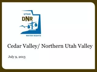
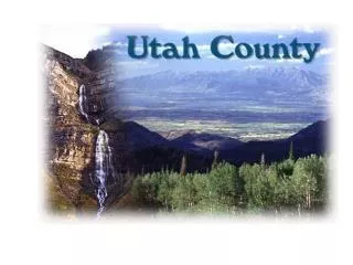
Cedar Valley, Utah County, Utah. Cedar Valley Water Rights Management Plan Status and Review March 7, 2013. Teresa Wilhelmsen, P.E. UL/JR Regional Engineer Division of Water Rights. Outline. Current Management Policy Water Usage Estimates Summary of Water Rights Future Direction.

E N D
Cedar Valley, Utah County, Utah Cedar Valley Water Rights Management Plan Status and Review March 7, 2013 Teresa Wilhelmsen, P.E. UL/JR Regional Engineer Division of Water Rights
Outline • Current Management Policy • Water Usage Estimates • Summary of Water Rights • Future Direction
Cedar Valley Groundwater Policy • Effective November 15, 1995 • Closed to all new Appropriations • New withdrawals of groundwater would need to be based on changes to existing rights • State Engineer would continue to monitor withdrawals and water levels to protect the resource
Cedar Valley Groundwater Policy • Updated / Modified November 2, 2004 • Meeting held July 21, 2004 • UGS presented report findings • State Engineer presented current policy • Follow-up letter dated November 2, 2004
Cedar Valley Groundwater Policy • Letter dated November 2, 2004: • Division contracted with UGS to produce a model • Transfers into the valley limited to 15,000 afy • Diversions to be measured and new wells to be sampled for logging • UGS report boundary line • Policy would be reviewed when model completed
Where are we today? • Current report estimates recharge to be 25,600 afy • Approximately 14,700 af of groundwater leaves Cedar Valley by subsurface outflow • Cedar Pass area is approximately 10,000 afy • Mosida Hills area is approximately 4,700 afy
Where are we today? • Current estimate of annual withdrawal from wells is 5,700 af • Current estimate of discharge from valley springs is 3,700 af • Total current estimate of usage is 9,400 afy
Where are we today? Water Rights • Approved and Perfected Water Rights and Change Applications • Potential groundwater withdrawal • Domestic and Stock – 500 afy • Irrigation – 11,700 afy • Municipal – 7,300 afy • Industrial/Other – negligible • Total Estimated Diversion - 19,500 afy
Summary of Data • Estimated recharge is 25,600 afy • Approximately 10,000 af leaves as subsurface flow through the Cedar Pass area • Estimated Water Rights Potential Diversion is 19,500 afy • Recent Northern Utah Valley study and how these two areas interact
Where do we go from here? • Feedback • Ideas • Comments • Considerations
Where do we go from here? • 30 days to submit comments (April 8, 2013) • We will continue to study these issues and review the Water Rights • Review Comments (will be made available on our website) • Public Meeting for Cedar Valley and Northern Utah Valley (June or July)
Questions??? Submit comments to: State of Utah Dept. of Natural Resources Division of Water Rights Attn: Teresa Wilhelmsen PO Box 146300 SLC, UT 84114-6300