Download
1 / 25
250 likes | 429 Views
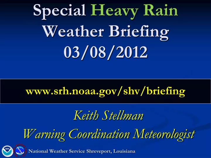
Special Heavy Rain Weather Briefing 03/08/2012 www.srh.noaa.gov/shv/briefing. Keith Stellman Warning Coordination Meteorologist. National Weather Service Shreveport, Louisiana. Overview. ** Significant Rainfall Event Setting up across the region ** Setup:

E N D
Special Heavy Rain Weather Briefing03/08/2012www.srh.noaa.gov/shv/briefing Keith Stellman Warning Coordination Meteorologist National Weather Service Shreveport, Louisiana
Overview **Significant Rainfall Event Setting up across the region** Setup: Best Heavy Rainfall Setup since October 2009 Stalled Front High Precipitable Water (99th percentile) Cutoff upper level low Impacts Flooding/Flash Flooding Possible Thur PM->Friday AM Saturday -> Sunday Severe Weather Threat Thursday Damaging Winds Hail National Weather Service Shreveport, Louisiana
Current Satellite/Water Vapor Cold Front dropping south L Note the plume of moisture from the Pacific National Weather Service Shreveport, Louisiana
Radar @ 945 • Strong Storms developing • Expect this area to fill as the day progresses
Thursday PM • Northern half of the area • Along/ north I-20 • 1”- 3” ..isolated 3” – 4”
Overnight ->Friday AM • Southern half of the region • Along/ south I-20 • 1”- 3” ..isolated 3” – 4”
Precip through Friday AM • Slight-> Moderate risk of excessive rainfall i.e. Flash Flooding Excessive Rainfall Outlook
Severe Weather Threat – Thursday/Thursday PM Primary Threats: Damaging Winds Hail Very isolated tornado threat SPC slight risk area
Friday-Friday Night • Front shifts south • Break for areas north of I-20 • Biggest threat area Deep East TX-> coast
Friday PM – Saturday AM • Rain begins re-developing SE TX coast • Continued break for areas north of I-20 • Biggest threat area Deep East TX-> coast
Rainfall Forecast Friday AM – Saturday AM • Heaviest rainfall expected to the south of the region • May clip Deep East TX/Central LA with 1”-2”
Saturday AM - Saturday PM • Front aligns itself north-> south across east TX • Rainfall increasing across East TX
Saturday PM – Sunday AM • Heavy Rainfall expected overnight overspreading the entire region. • Heavy in East TX / NW LA/ SW AR/ SE OK
Rainfall Forecast Saturday AM – Sunday AM • Heaviest rainfall expected across western half along the north/south front • 1”- 3” ..isolated 3”-4”
Sunday AM – Sunday PM • Front begins moving east with strong upper level system kicking out • Rainfall increasing across East TX • 1”- 3” possible
Sunday PM – Monday AM • Finally…heavy rain moving out and ending in the eastern half of the region
Rainfall Forecast Sunday AM – Monday AM • Heaviest rainfall expected across SW AR/Western LA/ Deep East TX • 1”- 3”
Computer Model Total Rainfall Forecast (ECMWF) • Swath of 5”-7” +extending from Lufkin -> Marshall -> Texarkana /Hope
Computer Model Total Rainfall Forecast (GFS) • Swath of 5”-6” East TX->NW LA->SW AR • Note the consistency in the location of the heavy rain axis
Some perspective on the amountsTop 10 Wettest March – SHV (1874-2011) Rank Value Ending Date 11.99 3/31/1945 11.67 3/31/1876 9.93 3/31/1912 9.31 3/31/1922 9.30 3/31/1934 9.27 3/31/1874 9.00 3/31/1888 8.72 3/31/1997 8.04 3/31/1894 7.90 3/31/2000 *** We could break the top 10 wettest March Rainfalls this weekend!!
Precipitable Water (inches)A measure of the amount of moisture in the atmosphere Sunday Thursday Night Max 1.68” Max 1.75” Forecasts from the GFS computer model
Climatology of Precipitable Water This event falls inside the 99th percentile and approaches the maximum value observed in March..based on the forecast PW values X
Impacts • River Impacts • Sabine, Neches, Sulphur/ portions of the Red system most at risk. • Minor to some moderate flooding • Depends on location of heaviest rainfall & duration at which the rain falls • Other Impacts • Flooding/Flash Flooding Possible • Thur PM->Friday AM • Saturday -> Sunday • Severe Weather Threat Thursday • Damaging Winds • Hail National Weather Service Shreveport, Louisiana
NEXT CONFERENCE CALL: Possibly Friday 3/9 Time TBD www.srh.noaa.gov/shv/briefing National Weather Service Shreveport, Louisiana