Download
1 / 17
170 likes | 336 Views
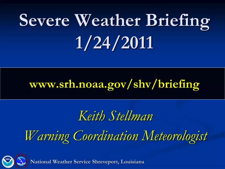
Severe Weather Briefing 1/24/2011 www.srh.noaa.gov/shv/briefing. Keith Stellman Warning Coordination Meteorologist. National Weather Service Shreveport, Louisiana. Overview. Wednesday Afternoon through Thursday AM: Setup: Complicated Forecast!

E N D
Severe Weather Briefing1/24/2011www.srh.noaa.gov/shv/briefing Keith Stellman Warning Coordination Meteorologist National Weather Service Shreveport, Louisiana
Overview Wednesday Afternoon through Thursday AM: Setup: Complicated Forecast! Warm front surging northward from Gulf of Mexico Surface low developing along TX coast and heading northeast Upper level system drawing near should pull warm front north Key in determining location of severe weather threat. Impacts Hail(elevated supercells behind the front) Damaging Winds (ahead of the front the upper level system catches up) Tornadoes(maximized threat east of surface low in vicinity of warm front) National Weather Service Shreveport, Louisiana
Radar/Surface @ 1 PM Location of Warm Front at 1 PM National Weather Service Shreveport, Louisiana
Big Picture - Satellite Current L 6 AM L L 6 PM Wed
Hail Tornado threat maximized along and south of warm front (but especially along) Damaging Winds/Isolated Tornadoes SPC slight risk area
Hi Res Model (WRF)(forecast Radar/Instability • 3 PM Forecast (Today) • Showers and elevated thunderstorms surging north • Best instability remains south
Hi Res Model (WRF)(forecast Radar/Instability • 6 PM Forecast (Today) • Showers and elevated thunderstorms surging north • Possible small hail • Best instability remains south
Hi Res Model (WRF)(forecast Radar/Instability • 9 PM Forecast (Today) • Showers and elevated thunderstorms surging north into AR/OK • Possible small hail • Best instability remains south Note that only light showers will be possible in this area
Hi Res Model (WRF)(forecast Radar/Instability • 6 AM Forecast (Wed) • Line of showers developing along elevated front • Best instability remains south..but creeping into Deep East TX Note that only light showers will be possible in this area
Hi Res Model (WRF)(forecast Radar/Instability • Noon Forecast (Wed) • Showers and storms continue • Strong storms shifting through SE TX into Deep East TX • Best location for possible severe weather Note that only light showers will be possible in this area Moderate Instability Strong Instability High Instability
Hi Res Model (WRF)(forecast Radar/Instability • 3 PM Forecast (Wed) • Showers and storms continue shifting east • Strong storms shifting through SE TX into Deep East TX • Best location for possible severe weather (12P-3P) Note that only light showers will be possible in this area Moderate Instability Strong Instability High Instability
Hi Res Model (WRF)(forecast Radar/Instability • 6 PM Forecast (Wed) • Showers and storms continue shifting east • Strong storms shifting through Western LA • Best location for possible severe weather (3-6PM) Note that only light showers will be possible in this area Moderate Instability Strong Instability High Instability
Hi Res Model (WRF)(forecast Radar/Instability • 9 PM Forecast (Wed) • Showers and storms continue shifting east • Strong storms shifting through Eastern LA • Best location for possible severe weather (6-9PM) Note that only light showers will be possible in this area Moderate Instability Strong Instability High Instability
Computer Model Rainfall Forecast (Hi Res WRF) • Heavier in some spots… especailly East TX • Shown as best/worst case • Trying to show heavy in convective areas
Official Rainfall Forecast • Heaviest in Central/East TX where mid-level front will be stalled tonight
Summary Tonight through Thu AM: Complicated forecast due to moving warm front and surface low developing..tracking into area. Likely that a line of storms develops ahead of the main cold front overnight into Wed AM…moves east during day. Reduces overall rainfall amounts Area along and south of I-20 forecast to have highest shear/instability…increasing severe threat Greatest threats: Damaging winds (along and south of warm front) Tornadoes (along and south of warm front) Hail (along and north of warm front) Heavy rain threat confined to Tyler->Mt. Pleasant->De Queen **If the front can move further north, tornado threat increases north of I-20 into NE TX/South AR. National Weather Service Shreveport, Louisiana
NEXT CONFERENCE CALL: Thursday 1/26 @ 10 AM www.srh.noaa.gov/shv/briefing National Weather Service Shreveport, Louisiana