Download
1 / 25

E N D
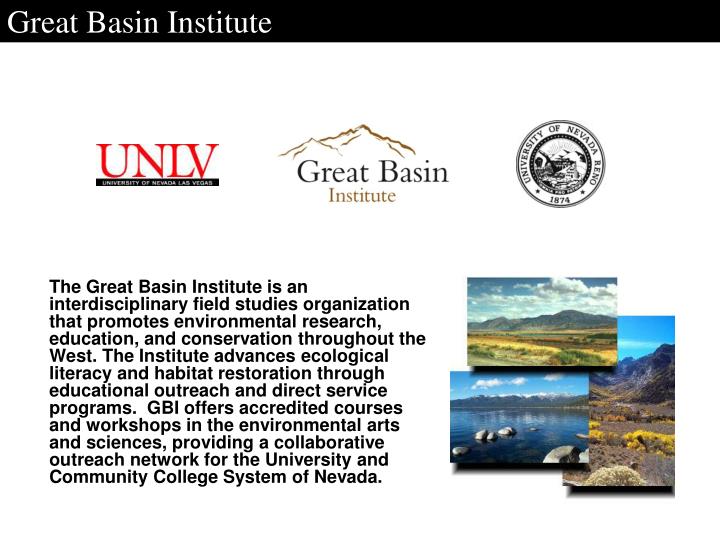
Great Basin Institute The Great Basin Institute is an interdisciplinary field studies organization that promotes environmental research, education, and conservation throughout the West. The Institute advances ecological literacy and habitat restoration through educational outreach and direct service programs. GBI offers accredited courses and workshops in the environmental arts and sciences, providing a collaborative outreach network for the University and Community College System of Nevada.
Great Basin Institute GBI Cooperative Agreements
Great Basin Institute Research Associates The RA program offers agencies professional level resource management support by recruiting and placing recent college graduates, graduate students, or experienced professionals in administrative and/or field based environmental programs and projects.
Great Basin Institute Research Associates Research Services: Wildlife inventories Noxious weed mapping Water quality testing Forest health studies Restoration monitoring / evaluation GIS support NEPA / SHPO Clearance Soils studies Recreational use surveys Data reduction and analysis
Great Basin Institute MOJN Spring Survey Detail Contract dates: 11/ 2004 – 7/2007 Total budget: ~ $400,000 Field technicians: 13 Parks Surveyed: Death Valley Lake Mead Parashant Joshua Tree
Great Basin Institute Survey Requirements Planning and Logistics Partnership Coordination MOJN, NPS, DRI, GBI Training among partners Standardized GPS Coordinates (NAD27 vs. NAD83)
Great Basin Institute Survey requirements Implementation Subjective Measurements Quantification of data for non-spring/dry sites Misleading identification of seeps vs. springs Quantification of averaged measurements vs. observable springbrook Location ID and Field Note vs. Date/Time Consistency
Great Basin Institute Survey requirements Data Entry and Management GPS Trimble Software/hardware failure DOI Computer Access Differential Correction Data Streamline Process GPS Data Dictionary (.mbd) File nomenclature
Great Basin Institute Death Valley National Park Background 492 sites in Original NPS database ~30 sites monitored by NPS Level 3 data collected for over 100 sites Spring accessibility and safety (4 sites not surveyed)
Great Basin Institute Death Valley National Park Planning and Logistics Route Planning critical for DEVA remote locations 7.5 USGS Maps TOPO
Great Basin Institute Death Valley National Park Implementation Spring Provinces Grapevine Ranch : 130 sites Macro-invertebrate sampling Weather (Wettest season in over 50 yrs.) Non spring sites leaching water from vadose zone
Great Basin Institute Death Valley National Park Data Management GPS Base Station Failure No Database available GPS/Photo Log (Generic .mbd)
Great Basin Institute Joshua Tree National Park Background 275 NPS Features 292 Features Surveyed Protocol deviation Types of Features Springs Wells Man-Made Tanks Natural Tanks w/ Spring Eagle Mtn. Survey Natural Tank w/o spring
Great Basin Institute Joshua Tree National Park Implementation Difficulties locating feature types Wells, Man-made tanks, and Natural Tanks Standardized Protocol Identifying feature sources Pothole, dam, re-emergent source
Great Basin Institute Joshua Tree National Park Implementation Backpacking/Hiking safety Wonderland of Rocks: Large packs and boulders/falls Eagle Mountains NPS requested in depth field survey for area for Eagle Mine NEPA. Aerial photography and field checked
Great Basin Institute Joshua Tree National Park Data Management Data entry process changed for efficiency and accuracy A generic GPS/Photo db as in DEVA with a new data dictionary (.mbd) for ease of importing into database. Database unavailable
Great Basin Institute Parashant National Monument Background Dual managed by BLM and NPS 175 Verified sites 53 Un-verified sites 5 sites not surveyed
Great Basin Institute Parashant National Monument Planning and Logistics Access to remote areas by ATV BLM GIS Specialist Maps GPS navigation file
Great Basin Institute Parashant National Monument Implementation Seasonally dry springs Route accessibility Steep cliffs Seasonal Weather
Great Basin Institute Parashant National Monument Data Management Generic GPS/photo log db Revise JOTR & PARA data entry
Great Basin Institute Lake Mead National Recreation Area Background Final Spring Inventory 89 Original NPS Features All features surveyed
Great Basin Institute Lake Mead NRA Planning and Logistics Access to remote areas w/ kayak NPS GIS Specialist Maps, GPS navigation file, and differential correction
Great Basin Institute Lake Mead NRA Implementation Parashant Overlap Accessibility (river and dry waterfalls) Source differentiation (hot vs. cold sources) Data base & entry process complete
Great Basin Institute Recommendations Regionally coordinated trainings Continuous feedback loop Strategic base camp locations
Great Basin Institute Acknowledgments MIJN: Kris Hiester & Alice Chung-MacCoubrey & Bob Truitt DRI: Don Sada PARA: Kyle Voyles & Kari Yanski DEVA: Terry Fisk LAME: Tom Culhane JOTR: Luke Sabala GIS: Vanessa Truitt