Download
1 / 15
160 likes | 173 Views
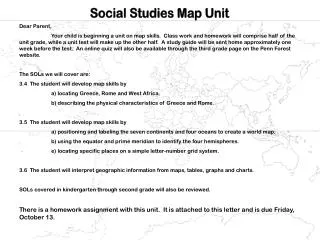
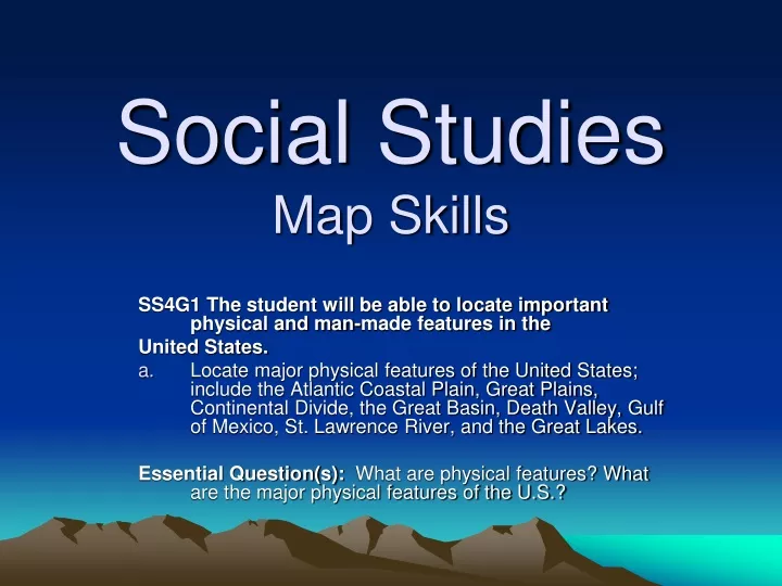
Social Studies Map Skills. SS4G1 The student will be able to locate important physical and man-made features in the United States.

E N D
Social StudiesMap Skills SS4G1 The student will be able to locate important physical and man-made features in the United States. Locate major physical features of the United States; include the Atlantic Coastal Plain, Great Plains, Continental Divide, the Great Basin, Death Valley, Gulf of Mexico, St. Lawrence River, and the Great Lakes. Essential Question(s): What are physical features? What are the major physical features of the U.S.?
When you finish this lesson, you should be able to… • Label a map with the physical features of the United States.
Physical Features of the United States of America • Atlantic Coastal Plain • Great Plains • Continental Divide • The Great Basin • Death Valley • Gulf of Mexico • St. Lawrence River • The Great Lakes.
Atlantic Coastal Plain The flat stretch of land that borders the Atlantic Ocean in the eastern US.
Great Plains The great expanse of prairie and steppes east of the Rocky Mountains in the United States and Canada.
Continental Divide Who has the north-south line of elevated land that separates the two watersheds of the US.
The Great Basin A large, arid plateau in the western United States.
Label your map like the one below. The Great Plains Continental Divide The Great Basin Atlantic Coastal Plain
Death Valley The lowest, driest and hottest valley in the United States .
Gulf of Mexico The oval shaped body of water west of Florida.
St. Lawrence River The large waterway connecting the Great Lakes to the Atlantic Ocean.
The Great Lakes The large freshwater bodies of water on the Canada – United Stated border.
Label your map like the one below. St. Lawrence River The Great Lakes Death Valley The Gulf of Mexico