Download
1 / 25
250 likes | 350 Views
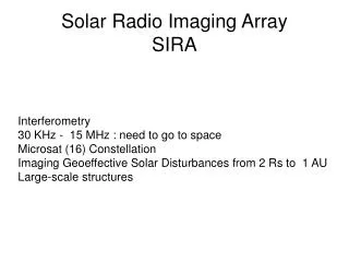
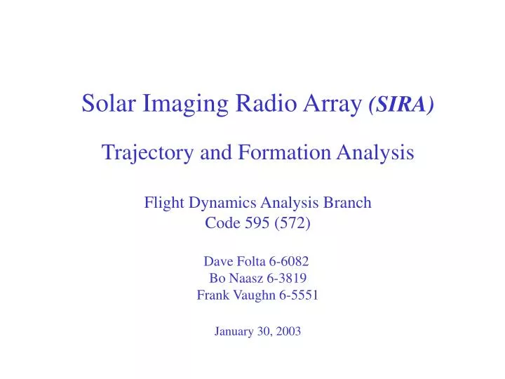
Solar Imaging Radio Array (SIRA) Trajectory and Formation Analysis Flight Dynamics Analysis Branch Code 595 (572) Dave Folta 6-6082 Bo Naasz 6-3819 Frank Vaughn 6-5551 January 30, 2003. Solar Imaging Radio Array (SIRA) Trajectory and Formation Analysis. Agenda Mission Metrics

E N D
Solar Imaging Radio Array (SIRA) Trajectory and Formation Analysis Flight Dynamics Analysis Branch Code 595 (572) Dave Folta 6-6082 Bo Naasz 6-3819 Frank Vaughn 6-5551 January 30, 2003
Solar Imaging Radio Array (SIRA) Trajectory and Formation Analysis • Agenda • Mission Metrics • Orbit Trades • Formation Control • U-V Plane Stats • Summary
SIRA Metrics • Earth-constellation distance: • Greater than 50 Re (interference) • Less than 100 Re (link margin) • Minimize orbit insertion requirements • Avoid eclipses • 16 microsats on ~50 km diameter sphere (to achieve desired angular resolution) • Uniform distribution of u-v baselines density (spacecraft randomly positioned on surface of a sphere) • Defunct satellites should not "interfere" excessively with operational satellites • Satellites "approximately" 3-axis stabilized
SIRA Orbit Selection Trade • Reviewed orbits*: • Earth-Moon L4 Libration orbit • Earth Centered Distant Retrograde orbit (DRO) • Sun-Earth L1 Libration orbit • All orbit trades used high fidelity perturbation modeling and precision integrators • * A moon centered circular orbit at about 30,000km was also analyzed, but was eliminated due to the high insertion DV cost of over 1km/s.
Moon Earth Earth - Moon L4 Libration Orbit L4 Libration Point • Stable orbit in Earth - moon neighborhood • L4 location is at equal distances from Earth and moon • Requires insertion maneuver Earth Moon L2 L1 L4 SIRA Orbit Shown in Earth-Moon Rotating System
Lunar orbit Mission orbit Distant Retrograde Orbit (DRO) Orbit Sun-Earth L1 Libration Point Transfer orbit • Stable, heliocentric orbit with same period as Earth, and slightly altered eccentricity • Circular relative motion wrt Earth orbiting clockwise • Requires insertion maneuver • Dimensions ~ 1.7 x 2.0 Million km in ‘x’ and ‘y’ directions
Transfer orbit Lunar orbit L1 Libration Point Mission orbit Sun-Earth L1 Libration Orbit • Standard libration orbit about the co-linear L1 point • (ISEE, SOHO, ACE) • Dimensions ~ 1.6 x 1.9 Million km in ‘x’ and ‘y’ directions
SIRA Orbit Selection Trade DRO Earth-Moon Lib Sun-Earth Lib Launch C3 Energy (km2/s2) -0.52 -1.8 -0.67 Mission Orbit Insertion DV (m/s) 444 700 ~10 Orbit Maintenance DV/year (m/s) 0 5 5 Formation Maintenance DV/year (m/s) S - 0.22 S –15.6 S – 0.63 per spacecraft L - 0.16 L – 8.28 L – 0.29 Strict (S) & Loose (L), Assuming 0.1mN Min / Max Distances to Earth (Re km) 266 to 313 39 to 78 188 to 266 Shadows None None None Angle variation between 360. 360. +/-37.0 Spacecraft-Earth and Spacecraft-Sun vectors over one orbit period (degrees)
Launch Vehicle Information • Corresponds to a DRO C3 of –0.5 km2/s2 • Mass to orbit ranges from 250 kg (Taurus) to 1510kg (Delta-II)
Launch Vehicle Information • Corresponds to a Earth-moon L4 orbit C3 of –1.8 km2/s2 • Mass to orbit ranges from 260 kg(Taurus) to 1585kg (Delta-II)
3-D view SIRA spacecraft SIRA Formation Analysis • Apply control to maintain a 25km radius sphere • Center of sphere follows mission orbit • Simple PD controller to maintain spherical formation • Assumes shared knowledge of relative states • Constant low thrust control (0.1mN) • Allows strict and loose control efforts • Initial placement on sphere based on “igloo” placement from: • Robert Bauer's "Uniform Sampling of SO3" algorithm from 2001 Flight Mechanics Symposium"
SIRA Formation U-V Plane Analysis • Sample Earth/Moon L4 libration orbit formation • Spacecraft controlled to maintain only relative separations • Plots show statistic of U-V plane and relative formation positions
SIRA Trade Summary • Given mission metrics and assumptions, analysis shows feasibility of SIRA mission with a spherical formation • Orbit selection dependent upon mission metrics, launch mass capability, system engineering • Formation maintenance DV in general is not a driver DV/year ~ 0.16 to 15.6 (m/s) • Additional analysis required for maneuver type and system engineering aspects • U-V plane statistics provided for sphere shape formation
Solar Imaging Radio Array • Science Objectives: • Understand CME structure, propagation, and evolution from the Sun to 1 AU • Apply solar radio burst images to mapping of solar wind density structures and magnetic field topology, providing a unique tool for solar wind analysis • Enhance space weather prediction capabilities using radio images of CMEs • Observe and analyze the global response of Earth’s magnetosphere to CMEs and other space-weather-effective events from an external perspective • Image the low-frequency (< 30 MHz) radio universe at high angular resolution and catalog and understand the objects found therein • Mission Description: • Microsat constellation of 10 – 16 identical spacecraft • Crossed dipole antennas and low frequency radio receivers • Quasi-spherical constellation with <100 km diameter • Nearly circular distant retrograde orbit (~106 km from Earth) or other terrestrial radio interference limiting orbit • Individual microsat communication with ground stations • Measurement Strategies: • High spatial and temporal resolution • Frequency range from ~30 MHz to ~30 kHz • Frequency spacing and time resolution optimized for solar burst analysis • Rapid data processing for space weather prediction Two dimensional radio imaging of the CME-driven shock front and the CME density profile is critical for predicting the space weather effects of CMEs • Technology Requirements: • Intermicrosat ranging (to ~3 m) • “Full-sky” aperture synthesis mapping algorithm development • Onboard data cross-correlation desirable (for space weather snapshots)
SIRA Formation Control Analysis • Earth/Moon L4 Libration Orbit • Spacecraft controlled to maintain only relative separations • Plots show formation position and drift (sphere represent 25km radius) • Maneuver performed in most optimum direction based on controller ouput Impulsive Maneuver of 16th s/c Radial Distance from Center