Download
1 / 47
480 likes | 704 Views
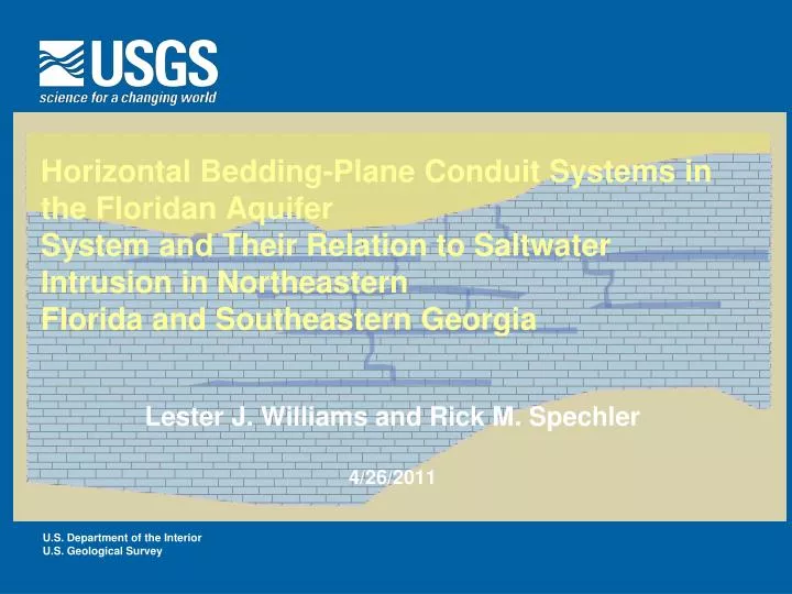
Horizontal Bedding-Plane Conduit Systems in the Floridan Aquifer System and Their Relation to Saltwater Intrusion in Northeastern Florida and Southeastern Georgia. Lester J. Williams and Rick M. Spechler 4/26/2011. Outline.

E N D
Horizontal Bedding-Plane Conduit Systems in the Floridan AquiferSystem and Their Relation to Saltwater Intrusion in NortheasternFlorida and Southeastern Georgia Lester J. Williams and Rick M. Spechler 4/26/2011
Outline • Hydrogeology of the Floridan Aquifer System in Northeastern Florida and Southeastern Georgia • Acoustic televiewer images of conduit systems from various wells in area • Relation to saltwater intrusion
Floridan Aquifer System • Permeable carbonate rock aquifer • Several hundred to several thousand feet thick • Principal source of water in region • Underlies an area of about 100,000 square miles
Aquifer Confinement • Unconfined Areas • Extensive karst development • Confined Areas • Less karstic • Deeper saline highly cavernous boulder zone and Fernandina Permeable Zone Study Area Modified from Bush and Johnson, 1988
Hydrogeologic Units • Upper Confining Unit • Upper Floridian Aquifer • Lower Floridan Aquifer • Fernandina Permeable Zone Freshwater Freshwater High Sulfate Saltwater
WaycrossTest well Focused (guard) Resistivity Gamma Ray MCU I Logs from files of the USGS Denotes a geophysical marker bed
Lower marker beds below MCU I marker beds (dolostone) Logs from files of the USGS
Nassau County FL Focused (guard) Resistivity Long and Short Normal Gamma Ray MCU I (lower marker beds) Logs from files of the USGS
Correlation D D’ 56 miles Fernandina Beach, FL Waycross, GA
What is the relation between the hard dolostone beds (i.e. confining units) and horizontal conduit systems? • Horizontal conduit systems tend to develop on top or below the hard dolostone units • Because the hard beds are fairly persistent across study area it makes it possible to start to visualize an organization to the permeable systems • We can view these in some of the acoustic televiewer (ATV) images collected from the open portion of boreholes
Acoustic Televiewer Images • Collected by USGS in the late 1970’s to mid 1990’s • These were scanned in from original Polaroid images • Show a 360 degree oriented image of the inside of the open portion of the borehole Stitched together Polaroids of ATV image from test well in Brunswick, GA
Core view (wrapped) Projected view of borehole wall
Characteristics of solution zones in Avon Park Formation • Appear to be formed preferentially along dolostone or dolomitic limestone intervals • Each solution zone consists of many individual pipes and openings • Zones of solution openings range from few feet to several 10’s of feet
Fractures • Very few observed in ATV images • Most are observed in the cavernous zones possibly associated with collapse? • Relative absence of fracturing in ATV images suggest that vertical fracture systems must be widely spaced or more related to collapse features described by others working in area Fracture
Conduit systems in relation to production zones at Colonels Island Well • Orange dots represent horizontal bedding plane opening • Red dots are scattered vuggy systems • Dark blue dots are steep fractures (not many) • Biggest flow zones correspond to major lithologic contacts Brunswick, GA
Conduit systems in relation to production zones at Colonels Island Well • Flowmeter surveys indicate discrete flow zones located near top or base of confining units TW-26, Brunswick, GA
Waycross Test Hole 870-890 900-920 920-940
Waycross Test Hole 1080-1100 1100-1120 1130-1150
Lovegrove Well Field, Jacksonville FL • Scattered solution lenticular shaped openings • Also discrete 2 to 6-inch wide bedding plane openings in other wells of area (not shown here) From Phelps and Spechler, 1997
Relation of Horizontal Conduits to Saltwater Intrusion • Long-term decreases in potentiometric surface of aquifer • Inversely related to increases in chloride
Pre-Development Flow System From: Krause and Randolph, 1989
Post-Development Flow System From: Krause and Randolph, 1989
What is the Effect of Horizontal Systems on Saltwater Intrusion? ? ?
Effects of Horizontal Systems • Mineralized water trapped in local confining units can migrate into adjacent freshwater aquifers • Horizontal systems may intersect vertical systems Freshwater Mineralized Water Freshwater High Sulfate Saltwater TW-26 Brunswick, GA
Conceptual Model • As water is pumped from the conduit systems leakage is induced from adjacent confining beds or from intersecting vertical fractures
Sources of Salt Water • Trapped connate water inside confining beds • Saline aquifers near base of system
Cross Sections • Deep water test wells • Oil test wells • Some of the older oil test wells were the best for correlating across the full thickness of aquifer Southeastern Georgia Embayment Peninsular Arch
Summary • Highly permeable solution zones tend to develop along bedding planes and at major lithologic contacts throughout the study area • Where tapped the transmissive zones supply most of the water to wells that tap them • Mineralized water contained in adjacent lower-permeability confining units may be drawn into the horizontal systems through pumping • Saltwater intrusion may also occur from upward migrating saline water along vertical discontinuities into the horizontal systems
Acknowledgments • Jeff Davis, SJRWMD • Don Boniel, SJRWMD • Harold Gill, USGS Ret.