Download
1 / 12
120 likes | 128 Views
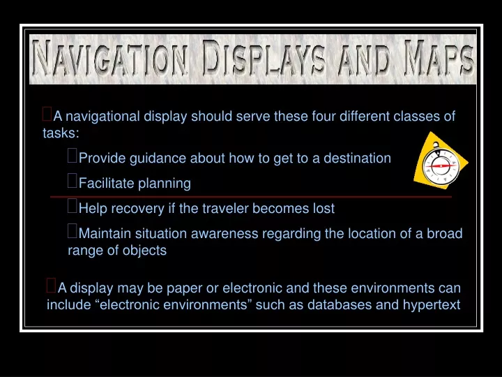
A navigational display should serve these four different classes of tasks: Provide guidance about how to get to a destination Facilitate planning Help recovery if the traveler becomes lost Maintain situation awareness regarding the location of a broad range of objects.

E N D
A navigational display should serve these four different classes of tasks: • Provide guidance about how to get to a destination • Facilitate planning • Help recovery if the traveler becomes lost • Maintain situation awareness regarding the location of a broad range of objects • A display may be paper or electronic and these environments can include “electronic environments” such as databases and hypertext
The route list or command display provides the traveler with a series of commands to reach a desired location. • Electronically, it may be markers or pointers of where to turn at particular intersections. • To be effective, command displays must possess an accurate knowledge of where the traveler is as each command is issued so that it will be given at the right place and time. • Command displays are not effective for depicting where one is and are not very reliable for situation awareness. In contrast, spatially configured maps do a better job of increasing planning and situation awareness.
Maps must be legible to be useful • Attention must be given to the conditions in which the maps will be utilized • Paper maps must provide necessary contrast between labels and background • Legibility may sometimes suffer because of the need for detail • With electronic maps, detail can be achieved without sacrificing legibility only if zooming capabilities are incorporated.
Clutter slows down the time to access the information and it slows down the time to read the items as a consequence of masking by nearby items. • Solutions include: • Effective color coding (the human selective attention mechanism is more readily able to focus on features of one color, while filtering out the temporarily unneeded items) • With electronic maps, the user can highlight the needed classes of information • Decluttering allows the user to turn off unwanted categories of information • A problem with both highlighting and decluttering are the excessive amount of options, which may impose unnecessary decision load
Users benefit if they are presented with a direct depiction of where they are on the map. This feature is extremely critical in aiding recovery from getting lost • Good maps allow the navigator rapid and easy cross-checking between features of the environment (the forward view) and the map • Up on the map must be forward and left on the map must correspond to left in the forward view • If these requirements are not met, time-consuming and error-prone mental rotation is required • Electronic maps take care of this problem because they can be designed to rotate so that up on the map is in the direction of travel.
Electronic maps position the navigator near the bottom of the screen because less detail needs to be spent on what is behind them • The map scale should be user adjustable because the nature of the traveler’s needs can vary (very distant small scale, next choice point large scale) • Solutions to scale issues include: • Dual maps in which local information regarding one’s momentary position and orientation is presented alongside more global large-scale information regarding the full environment
Depict terrain and landmarks and rotating maps adhere to the principle of pictorial realism • Efficient when needed to navigate by visualizing 3-D landmark objects • 3-D maps look more like a picture of the area that is represented and this is useful for maintaining navigational awareness
Users tend to be “planners”, who use the display to understand the spatial relations between its elements. These are the “maps for the non-traveler” and map rotation is not important (ex. North-up) • 3-D displays (when precise separation along lateral and vertical dimensions are needed) are ambiguous based on the way the information is presented
When choosing to implement a 3-D map: • How important is vertical information in making decisions? • Does that information need to be processed at a very precise level (3-D maps have bad representation) or can it be processed just to provide some global information regarding “above” or “below” (3-D maps are effective) • If a 3-D map is chosen, then two important design guidelines can be offered: • The greater the number of natural depth cues that can be rendered, the more compelling will be the sense of depth • If display viewpoint rotation is an option, it is efficient to have a 2-D viewpoint available as a default option
Tables and Graphs • Table is a good idea if high precision is required and tables do not suffer the problems of reading digital information while it changing, unlike dynamic digital displays • Tables do not support a good perception of change over space and are less supportive of perception of the rate of trend change across space and less so still for trends that exist over two dimensions of space
Discriminability is extremely important and attention to incorporating salient and redundant coding of differences is essential • Visual attention may have to travel from place to place on a graph, so if the visual search effort is excessive, it can hinder graph interpretation. It is important to construct graphs so things that need to be compared are either close together in space or can be easily linked perceptually by a common visual code.
There is a wide range of display principles designed to facilitate the transmission of information from the senses. • There is no agreed upon “best” way to do this but careful consideration of the 13 principles presented throughout the chapter can help the construction of displays. • Displays are extremely important because their cues eventually lead a person to action and an effort to control some aspect of a system or environment.