Download
1 / 12
120 likes | 236 Views
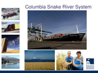
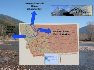
Columbia River . Case Study. Thelin and Pike 1991, USGS Map I-2206. Columbia Basin . Thelin and Pike 1991, USGS Map I-2206. Columbia Basin - 1905

E N D
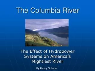
Columbia River Case Study
Thelin and Pike 1991, USGS Map I-2206 Columbia Basin Thelin and Pike 1991, USGS Map I-2206
Columbia Basin - 1905 Rivers of North America: A Reading Lesson for Students of Geography and Geology, by Israel C. Russell, New York, G.P.Putnam’s Sons London, John Murray 1905
Waitsburg WA Map – Microsoft MapPoint
Tualatin/River/Lake Oswego/Portland OR Map – Microsoft MapPoint
The Dalles OR (Mill Creek) Map – Microsoft MapPoint
Lewiston/Clarkston ID Map – Microsoft MapPoint
Oregon City OR Map – Microsoft MapPoint
Flood Basalt • Fix