Download
1 / 28
280 likes | 417 Views
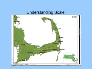
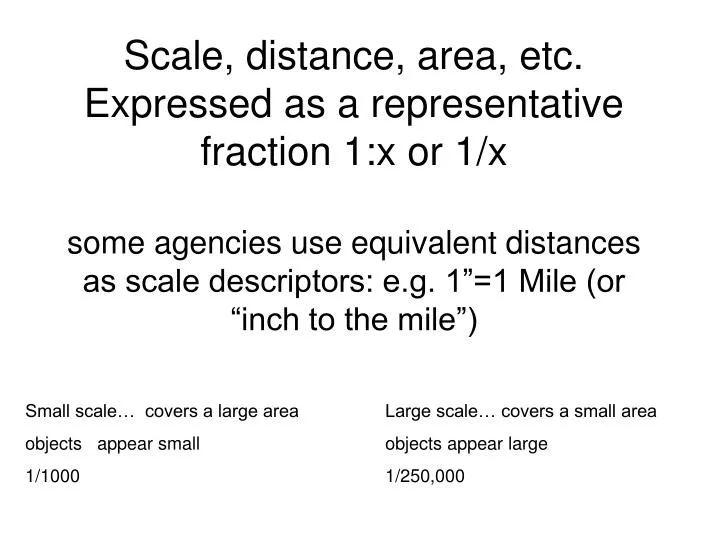
Scale, distance, area, etc. Expressed as a representative fraction 1:x or 1/x some agencies use equivalent distances as scale descriptors: e.g. 1”=1 Mile (or “inch to the mile”). Small scale… covers a large area Large scale… covers a small area objects appear small objects appear large

E N D
Scale, distance, area, etc.Expressed as a representative fraction 1:x or 1/xsome agencies use equivalent distances as scale descriptors: e.g. 1”=1 Mile (or “inch to the mile”) Small scale… covers a large area Large scale… covers a small area objects appear small objects appear large 1/1000 1/250,000
Map scale One inch on the map represents One mile on the Earth is represented on the map by • 1:1,000 83.42 feet 63.36 inches • 1:1,200 100 52.80 • 1:2,000 186.24 31.68 • 1:2,400 200 26.40 • 1:2,500 208.56 25.30 • 1:4,800 400 13.20 • 1:5,000 417.12 12.67 • 1:6,000 500 10.56 • 1:9,000 750 7.04 • 1:9,600 800 6.60 • 1:10,000 834.24 6.34 • 1:12,000 1000 5.28 • 1:15,840 1320 4 • 1:20,000 1668.48 3.17 • 1:24,000 2000 2.64 • 1:25,000 2085.60 2.53 • 1:31,680 0.500 miles 2 • 1:50,000 0.789 1.27 • 1:62,500 0.986 1.014 • 1:63,360 1 1 • 1:80,000 1.26 0.792 • 1:100,000 1.58 0.634 • 1:125,000 1.97 0.507 • 1:126,720 2 0.5 • 1:250,000 3.95 0.253 • 1:500,000 7.89 0.127 • 1:1,000,000 15.78 0.063 • 1:2.000,000 31.56 0.032 • 1:3,000,000 47.35 0.021 • 1:5,000,000 78.91 0.013 • 1:10,000,000 157.82 0.006 • 1:25,000,000 394.57 0.002 • Examples • USGS 7.5 quad sheet1:24,000 • British Ordnance Survey 'Pathfinder' 1:25,000 • USGS 15 min quad sheet 1:62,500 • British Ordnance Survey 'Landranger' 1:50,000 • USGS 30 x 60 minute quad sheet 1:100,000
Map scale One cm on the map represents One km on the Earth is represented on the map • 1:1,000 10 meters 100 cm • 1:1,200 12 83.33 • 1:12,000 120 8.33 • 1:15,840 150 6.32 • 1:20,000 200 5 • 1:24,000 240 4.17 • 1:25,000 250 4 • 1:31,680 317 3.16 • 1:50,000 500 2 • 1:62,500 625 1.60 • 1:63,360 634 1.58 • 1:80,000 800 1.25 • 1:100,000 1000 1 • 1:125,000 1250 0.80 • 1:126,720 1267 0.79 • 1:250,000 2500 0.40 • 1:500,000 5000 0.20 • 1:1,000,000 10 km 0.10 • 1:2.000,000 20 0.05 • 1:3,000,000 20 0.03 • 1:5,000,000 50 0.02 • 1:10,000,000 100 0.01 • 1:25,000,000 250 0.004 • Examples • USGS 7.5 quad sheet1:24,000 • British Ordnance Survey 'Pathfinder' 1:25,000 • USGS 15 min quad sheet 1:62,500 • British Ordnance Survey 'Landranger' 1:50,000 • USGS 30 x 60 minute quad sheet 1:100,000
Photo Scale • RF= f/H • The focal length of the lens divided by the flying height of the platform above the ground. Use the same units (units cancel as scale is unitless) Don’t forget to convert MSL altimiter readings to AGL before calculating scale.
Photo distance/ground distance • RF= pd/gd • Easy to remember... • Convert all distances to same units (units cancel) • Use base map to calculate ground distance.
pd/gd contd. • Be aware of map scale when calculating gd! • It is possible to calculate photo scale RF=pd/md*RF of map…. (map distance *photo scale) I NEVER do it this way… my arithmetic is too shaky and I feel a lot more comfortable ‘seeing’ the distance.
Changes in scale across a single photo? • If the elevation of the target area changes, the scale changes • If the platform is subject to yaw-pitch or roll the scale will change across a photograph • Contract photography… specify +/- 3% of vertical and altimeter corrections every 20 minutes (at least)
Objects of a known size… • If you have objects of a known size (or previously measured distances) present on a photograph, these can be used to calculate/verify photo scale. • Athletic fields, railroad gauges, automobiles, aircraft etc.
Area Measurements • Best done from maps Planimetrically correct, known accuracy (national map accuracy standards…. e.g. 1/24000 map objects will be within 20’ of their true location) No distortion due to topographic change • Air photos can be used if the topographic change is less than 100 meters (usual for most applications) OR calculate the scale for each elevation.
Grids • It is possible to calculate areas by overlaying a grid of known dimensions and simply counting the grid cells covered by the feature of interest. • How to handle corners?
Using a dot grid…. You must know the photo scale Calculate the acres (square meters, hectares) /square inch of the photograph Use a dot grid that provides at least 1-2 acres/dot Drop the dot grid a couple of times with different orientation and average to get more accurate estimation of area
The polar planimeter • http://www.nas.com/~kunkel/java/planimtr.htm • And http://persweb.wabash.edu/facstaff/footer/planimeter/Polar&Linear.htm#How%20they%20work
How Polar Planimeters are Used planimeters are used by moving the tracer point around the boundary of the region being measured. As the tracer point moves the wheel partially rolls and partially slides on the paper, recording its motion perpendicular to the tracer arm. It turns out that when the tracer point returns to the point where it started, the net roll of the wheel is proportional to the area of the region. If a scale attached to the wheel is calibrated appropriately, the area can be read from the scale.
Transects… quick and dirty estimations of land cover • Divide photograph into equal ‘strips’ • Count the approximate number of inches of each strip that are contained in each land cover class… For example: On a 9X9 photo, draw 9 equally spaced lines creating 10 strips (90” of transect) use a ruler to measure the woodland cover in a given strip. Woodland covers approximately 30”… 1/3 of the photo is forest… when you know the photo ‘footprint’ (a function of the scale) you can quickly estimate a given land cover type… no equipment necessary.
Digitizing the scanned photo is one of the most accurate methods of area estimation… Scale is critical and the units displayed are (as yet) unknown in their origin!
Measuring irregular line lengths… • The digitizer ‘distance’ function Or the • Opisometer(Op`i*som"e*ter) n. [Gr. backwards + -meter.] An instrument with a revolving wheel for measuring a curved line, as on a map… also called a map wheel or ‘road runner’
Object count/Density • Closely related to texture…. • If objects are regularly spaced, establish a number per unit area and calculate area. e.g. cars in a parking lot • Standard density/area aids… (forestry applications) 5 acre ring, dot size grid, crown density grid (dependent on photo scale!!)
Compass Bearings • Use map relationships to identify angular directions… the angular relationships are well preserved in aerial photography. • If airfields are present every runway is marked with compass heading (magnetic heading) Drop 1 zero… the other end of the runway will be marked with the reciprocal bearing e.g. 1 and 19
This end of the airstrip indicates a bearing of 140 degrees (SE)… what is the reciprocal bearing for the other end of the strip?