Download
1 / 89
900 likes | 924 Views
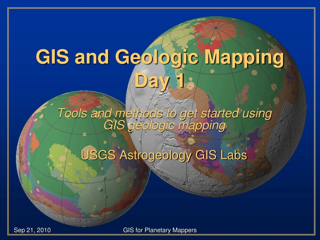
GIS and Geologic Mapping Day 1. Tools and methods to get started using GIS geologic mapping USGS Astrogeology GIS Labs. Introduction. There will be instructional periods to introduce you to the functions of ArcGIS Followed by hands-on activities to reinforce concepts

E N D
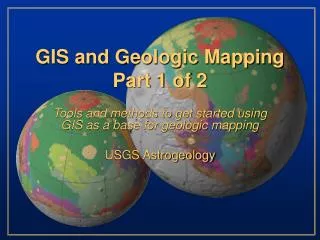
GIS and Geologic MappingDay 1 Tools and methods to get started using GIS geologic mapping USGS Astrogeology GIS Labs GIS for Planetary Mappers
Introduction • There will be instructional periods to introduce you to the functions of ArcGIS • Followed by hands-on activities to reinforce concepts • There will also be Q&A sessions at the end of each session but feel free to ask questions at anytime GIS for Planetary Mappers
Introductions Teachers • Trent Hare, Corey Fortezzo, and Jim Skinner • Students… GIS for Planetary Mappers
Introduction • Day 1 will include an introduction to GIS, the ArcGIS interface, and the basics of adding and editing data. • Day 2 will include more advanced topics, e.g., projections, image registration, spatial analysis and geostatistics GIS for Planetary Mappers
Agenda – Day 1 • Class Introduction • GIS Introduction and Resources • Just get me started (mapping) • Editing, Snapping, Streaming Lunch • Domains, More Editing • Building Polygons • Editing Polygons • Introduction to Symbols GIS for Planetary Mappers
Agenda – Day 2 • Query and Spatial Analysis • Crater/Feature Tools • FreieUniversität Berlin (Kneissl) /USGS (Nava) • Crater density walk-though • Bringing in Data and Setting Projections • Rasters • Shapefiles (interpolation) • ASCII Files (feature lists, gridded rasters) • 3D Viewers Lunch • Creating Figures (Layouts) • GIS Helper Tools • Hawths, Geodesic, USGS Image Tools • ArcMap 10 – what to expect GIS for Planetary Mappers
Some important notes • USGS Astrogeology primarily uses only one “brand” of GIS (ESRI’s ArcMap, levels) • Other brands exist, both free and commercial • “Free” • Jmars(jmars.asu.edu, Mars, Moon, Earth) • Quantum GIS (qgis.org/) • UDIG (udig.refractions.net/confluence/display/UDIG/Home) • Open EV (openev.sourceforge.net/) • JUMP (jump-project.org/) • GRASS (grass.itc.it/) • Commercial • TNTmips(www.microimages.com/) • ER Mapper(www.ermapper.com) • PCI GeoMatica(www.pcigeomatics.com) • Global Mapper(www.globalmapper.com) • Integraph(www.intergraph.com) GIS for Planetary Mappers
Some important notes (cont’d) • Though this presentation is geared toward geologic mappers, the information is relevant to all GIS users • Screen-shots are likely to differ from individual views • GIS skills are developed through software interaction … be patient and try new things! Tip icon will point out helpful hints throughout the presentation GIS for Planetary Mappers
GIS Support • ESRI online portal to technical information • http://support.esri.com • ESRI ArcScripts • http://arcscripts.esri.com/ • ESRI Educational Services • Instructor-led training • Virtual Campus courses • Web workshops • Books GIS for Planetary Mappers
GIS Support Nodes • Planet-specific information (e.g., data, discussion, tutorials) • http://webgis.wr.usgs.gov/ • USGS discussion board (login required) • http://isis.astrogeology.usgs.gov/ … navigate to “Support” “Planetary GIS Discussions” “Plugging keywords into a internet search engine is a great way to search for GIS-related assistance” GIS for Planetary Mappers
Arc Environment“Just get me started…” • Introduce ArcMap & ArcCatalog interfaces • Create a FILE Geodatabase (GDB) • Add attributes (domains) • Build a feature dataset and add three features (contacts, structures, units) • Import map bases (raster data) • Edit the features by adding lines and points (vector data) GIS for Planetary Mappers
GIS - “The horror…the horror….” • Organization!! • Multi-layer display • Digitize and edit on-the-fly • “Easily” generate layouts/figures (Adobe Illustrator compatible) • Raster and vector analysis • Crater counts • Spectral statistics for mapped units • Endless possibilities • Editing • Set rules for validating data • Easily edit/modify existing linework GIS for Planetary Mappers
ArcCatalog – your friend • Separate entity from ArcMap • Interface is similar to Windows Explorer • Create new file • Add/Delete folders or files (if unlocked) • Good operating environment for ArcToolbox GIS for Planetary Mappers
Libya Montes example • Six quadrangles • Mars Transverse Mercator GIS for Planetary Mappers
Open ArcCataloglet’s look at example projects GIS for Planetary Mappers
“Geodatabase” ? • ESRI FILE Geodatabase • Contains diverse spatial information • Vector, raster, tables • Topology, toolboxes, domains • Easily transferable to colleagues • Easily organized and managed • Stable GIS for Planetary Mappers
Geologic Mapping GISGeodatabase Design • GDB contains feature attributes as domains • Feature dataset houses map projection • Vector layers are pre-built and can be adapted and copied, as needed • Layer files contain attribute symbols GIS for Planetary Mappers
Symbols can be adapted to fit individual needs • Will adapt to cartographic standards over time • Accessed via dropdown menu while digitizing GIS for Planetary Mappers
Just Get Me StartedA Quick and Dirty Guide to Mapping in ArcGIS • Introduce ArcMap & ArcCatalog interfaces • Create a geodatabase (GDB) • Add attributes • Build a feature dataset and add three features (contacts, structures, units) • Add raster data • Edit features by adding lines and point GIS for Planetary Mappers
Keys for Success • Keep project data organized! • Periodically delete temporary files to avoid clutter • Use succinct but conspicuous names for folders and files • /UtopiaMapProj/June08Lines/geo_contacts_june08.shp • Use dual display, if possible (2 screens) • Assists with toggle between programs • Great for viewing hotlinked images • Keep vector data clean • Snap linework!!! – Avoids excessive cleaning at project end • Experiment with which tolerances work best for your digitizing scale • Keep detailed notes on GIS settings, methods, and approaches • Use point files to hold temporary/evolving geologic units GIS for Planetary Mappers
Right click here, new folder GIS for Planetary Mappers
Right click here, NewFile Geodatabase GIS for Planetary Mappers
Geodatabase – General Info Tab #1 Right-click on Test_Geodatabase and select “Properties” Note two tabs – “General” and “Domains” GIS for Planetary Mappers
Geodatabase – Domains Info Tab “There is a difference between an attribute domain (described above) and a spatial domain (described later). Use the Arc Help search to see if you can distinguish this important difference” GIS for Planetary Mappers
Attribute Domains • Property of geodatabase • Offer way to define a range of values that can be used for multiple attribute fields • Esure data integrity by limiting the choice of values for a particular field • User restricted to choices available from dropdown list • Useful for features “known” to exist in a particular map region • Contact attributes (certain, approximate, concealed) • Structure and feature attributes (ridge, trough, crater rim, flow direction) • Can be used for geologic unit attributes, but requires iteration GIS for Planetary Mappers
Generate Feature Dataset • Geodatabase set • Domains set • Contacts • Structure • Temporary unit names • Next…Create a group of affiliated spatial information…a dataset of features (polygons, lines, points) GIS for Planetary Mappers
next, next, … OR “Import” or define New - Projected GIS for Planetary Mappers
Descriptive name Select projection Fill parameters Always meters Select or define new For Mars, select Mars 2000 Sphere.prj GIS for Planetary Mappers
Specify Geometry Specify “Text” (vs. number, etc.) Add “TYPE” Specify DOMAIN GIS for Planetary Mappers
Three feature classes using three specified attribute domains GIS for Planetary Mappers
Predefined Geodatabases • USGS creates geodatabase for mappers • Working with other to standardize Planetary Mapping The Datamodel's Perspective and GIS Framework, S. van Gasselt, A. Nass Planetary and Space Science (in review)Special Issue: Geological Mapping of Mars GIS for Planetary Mappers
Open existing ArcMap project • Good to have multiple projects (~backups) • Easily transferable to colleagues with GDB • Organizational preferences abound • Start ArcMap Select: • New empty map • A template • An existing map GIS for Planetary Mappers
Hands-on (ArcMap/ArcCatalog) • Goals (using pre-loaded GIS) • Add and move data • View properties • Attributes • Domains • Raster/vector • Menus GIS for Planetary Mappers
Break (10 minutes) • Next Editing polylines GIS for Planetary Mappers
Vector Creation, Editing, and Symbols GIS for Planetary Mappers
Vector Creation, Editing, and Symbols Introduce Editor toolbar Briefly introduce the Advanced Editor toolbar Add feature classes (point and lines) Create point and line data Add attributes (from domains) to features Prepare lines before making polygons Build polygons from lines Use symbols to represent attributes GIS for Planetary Mappers
The Editor Toolbar • Ensure that ArcEditor is functional: • Right-click empty ToolBar and select “Editor” <or> • Tools Customize Editor (check) • Tools Editor Toolbar (v. 9.3) • Dock ArcEditor ToolBar onto ArcMap project GIS for Planetary Mappers