Download
1 / 8
80 likes | 315 Views
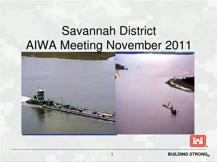
Savannah District AIWA Meeting November 2011. Atlantic Intracoastal Waterway Map. Project Current Conditions. Authorized depth 12 feet mlw on main route 7 feet mlw in alternate routes Controlling depths < 4 feet mlw Hell Gate 4.0 ft Little Mud River 3.0 ft Buttermilk Sound 4.0 ft

E N D
Project Current Conditions • Authorized depth • 12 feet mlw on main route • 7 feet mlw in alternate routes • Controlling depths < 4 feet mlw • Hell Gate 4.0 ft • Little Mud River 3.0 ft • Buttermilk Sound 4.0 ft • Jekyll Creek 4.0 ft centerline only
Project Usage 2007-2009 • Per Waterborne Commerce
FY 2012 Work • Complete updating the NEPA documents to meet current environmental laws started in FY10 • Complete Dredge Material Management Plan to comply with the new environmental laws started in FY 10
Future Needs Funds to execute the plan completed in FY 2012
Savannah DistrictAtlantic Intracoastal Waterway Questions ?