Download
1 / 33
350 likes | 378 Views
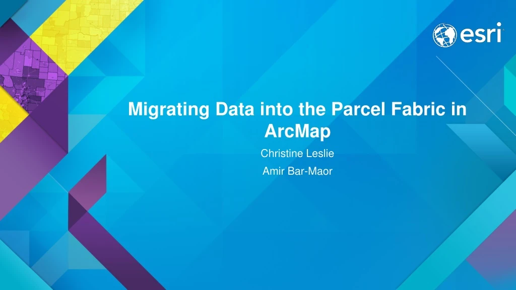
Migrating Data into the Parcel Fabric in ArcMap. Christine Leslie Amir Bar-Maor. What is a parcel fabric?. Dataset of related feature classes and tables Polygons, lines, points, plans, etc. Predefined system attributes Connected parcel groups Forms a parcel boundary network

E N D
Migrating Data into the Parcel Fabric in ArcMap Christine Leslie Amir Bar-Maor
What is a parcel fabric? • Dataset of related feature classes and tables • Polygons, lines, points, plans, etc. • Predefined system attributes • Connected parcel groups • Forms a parcel boundary network • Explicit topology • Defined by common parcel corner points • Parcel Editor toolbar
Parcel fabric data model Plans Parcels 1 1-M Lines Points 1 1-M 2-1 1 0-1 0-1 Line Points Control 0-M
Parcel fabric data model Line points • Preserve original recorded dimensions, ensure topology between parcels
Parcel fabric data model Overlapping parcels Subdivisions, Lots, Tax Parcels, Historic parcels all share same common points
Parcel fabric data model • Data model can be optimized for your organization • for example, esri’s Local Government Information Model
Local government Information Model (LGIM) • GIS datasets, web services, maps and apps • GIS information and processes are organized across departments • Parcel fabric is used for parcel editing • Parcel fabric can be enabled with the LGIM
Parcel fabric enabled with the LGIM • Extends the parcel fabric data model • Optimized for parcel editing in the USA • Provides a configured map for streamlined editing • Provides automated parcel editing workflows
Demo Amir Bar-Maor
Migrating data to the Parcel Fabric Steps • Setup the data model • Extend your parcel fabric model • Or use the Local Government Information Model • Setup a staging environment • Format and prepare data • Use the Load a Topology to a Parcel Fabric geoprocessing tool • Import control points
Migrating data to the Parcel Fabric Steps 1. Create a parcel fabric 2. Setup staging & create attributes 3. Prepare geometries 4. Load data 5. Configure the map 6. Import control points Recommendation: Test the workflow with a small pilot area of parcels
Step 1: Create a parcel fabric Data migration steps • Create a parcel fabric in a feature dataset • Projected or geographic • Extend the data model • Add your own attributes, tables • Or enable the Local Government Information Model (USA)
Demo: Step 1 Amir Bar-Maor
Step 2: Setup staging & create attributes Data migration steps • Review source data • Inventory of polygons • Create an empty polygon feature class for each parcel type • In a separate feature dataset • Add and map attribute fields • Fields must match fields in parcel fabric tables (both system and additional) • Calculate any necessary attributes in source polygons • Types, historic parcels • Check alignments between overlapping polygon types • Use the Integrate geoprocessing tool
Step 2 continued… Staging Data migration steps • Use Simple Data Loader • Load your source polygons into new empty polygons • If using the LGIM • Staging feature classes are setup for you • Download and unpack the staging layer package
Demo: Step 2 Amir Bar-Maor
Step 3: Prepare geometries Data migration steps • For each parcel type: • Check and repair any polygon geometries • Polygons to lines • Curves and lines Add-in • Rebuild polygons from lines • Check polygon inventories
Demo: Step 3 Amir Bar-Maor
Data migration steps 1. Create a parcel fabric 2. Setup staging & create attributes 3. Prepare geometries 4. Load data 5. Configure the map 6. Import control points
Step 4: Load data Data migration steps • Load a Topology to a Parcel Fabric geoprocessing Tool • Individual topologies for each parcel type • Topology validated against a required set of rules
Demo: Step 4 Amir Bar-Maor
Steps 1 to 4: Summary of staging Data migration steps • Polygon feature class for each type • Separate feature datasets • Add/map fields for migration to fabric • Create lines • Format lines • Rebuild polygons from lines • Create/validate topologies • Load topologies • Load source polygons using Simple Data Loader
Step 5: Configure your map Data migration steps • If using the LGIM: • Drag LGIM-enabled parcel fabric into the map • If using your own model • Query parcels and save layer files Parcel fabric layer enabled with the LGIM
Demo: Step 5 Amir Bar-Maor
Step 6: Import control points Data migration steps • Why have control? • Accuracy for new parcels • Deed references control points • Use Import Control Points wizard • Use XYZ coordinates or shape geometry • Loaded multiple times for new updates to coordinates
Demo: Step 6 Amir Bar-Maor
Additional considerations • Iterate tool for large datasets • Divide into zones • Overlapping parcels of the same type • Planarize your lines • Merge courses after loading • Starting with lines instead of polygons • Format lines, type lines, build polygons
Resources Data migration steps • Documentation • Latest release of help documentation • videos • Land Records resource center • Local Government Information Model • Data migration staging package • Add ins (Large dataset iterator, Curves and Lines, etc.) • Land Records meetup
Join Our Community – Land Records Meetup Join the Land Records Meet-up today
Additional sessions Wednesday • An Overview of the Urban Land Bank and Tax Reverted Properties Maps and Apps • Wed 7/16/2014, 11:30 AM - 12:15 PM, Demo Theater - Exhibit Hall B • Modern Approach to Land Records (Demo) • Wed 7/16/2014, 11:30 AM - 12:15 PM, Demo Theater - Exhibit Hall D • Advanced Parcel Editing in ArcMap (TW) • Wed 7/22/2015, 03:15 PM - 04:30 PM, Room 02 • ArcGIS for Land Records: An Overview (TW) • Wed 7/22/2015, 03:15 PM - 04:30 PM, Room 33 A • Approaches to Building a National Parcel Data Base (Demo) • Wed 7/16/2014, 05:30 PM - 06:00 PM, Demo Theater - State and Local Government
Additional sessions Thursday • ArcGIS for Land Records: Unlock the Potential of Parcel Data (Demo) • Thu 7/23/2015, 9:30 AM - 10:15 AM, Demo Theartre - Exhibit Hall B • An Overview of the Land Records Public Access Applications (Demo) • Thu 7/23/2015, 9:30 AM - 10:15 AM, Demo Theartre - Exhibit Hall B • Editing and Maintaining Parcels with ArcMap (TW) • Thu 7/23/2015, 10:15 AM - 11:30 AM, Room 02 • Modern Approach to Land Records (Demo) • Thu 7/23/2015, 10.30 AM - 11:15 AM, Demo Theater - Exhibit Hall D • Advanced Parcel Editing in ArcMap (TW) • Thu 7/23/2015, 03:15 PM - 04:30 PM, Room 02 • Land Records Meetup (SIG) • Thu 7/23/2015, 12:00 PM - 01:00 PM, Room 31 B