Download
1 / 25
260 likes | 422 Views
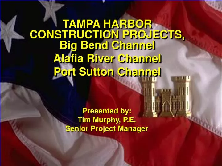
TAMPA HARBOR CONSTRUCTION PROJECTS, Big Bend Channel Alafia River Channel Port Sutton Channel. Presented by: Tim Murphy, P.E. Senior Project Manager. Presentation. Project Overview including Cargoes History Scope Challenges. N. LOCATION MAP. LOCATION MAP. LOCATION MAP. NASSAU

E N D
TAMPA HARBOR CONSTRUCTION PROJECTS, Big Bend Channel Alafia River Channel Port Sutton Channel Presented by: Tim Murphy, P.E. Senior Project Manager
Presentation • Project Overview including • Cargoes • History • Scope • Challenges
N LOCATION MAP LOCATION MAP LOCATION MAP NASSAU COUNTY TAMPAHARBOR NASSAU COUNTY YborChannel41’ x 200’ Authorized34’ x 200’ Existing PortSutton42’ x 290’ Authorized34’ x 200’ Existing CLEARWATER 34’ X 400’ PORT TAMPA Gulf of Mexico Alafia River 42’X250’ Authorized 32’ X 200’ Existing ST. PETERSBURG Big BendChannel41’ x 250’ Authorized34’ x 200’ Existing 43’ X 500’ CHANNEL 43’ 45’ X 700’ TAMPA HARBOR 45’ X 600’
Cargo • Largest Tonnage Port in Florida, 16th nationwide in 04, 50 million tons in 05 • Petroleum, Phosphate, Cruise, other bulk, and recently Containers • Vessels to/from around the planet
Project Info • 70 miles of channel ranging from 45 to 12 feet deep • First authorization in 1899 • Ybor Channel Turning Basin was last construction project, completed in 2000 • Ybor experiences dictate procurement strategies for the upcoming projects
INSERT N DA-3D Entrance Channel East Channel PORT TAMPA Inner Channel Facilities at Big Bend EXISTING CHANNEL(200’ X 34’)AUTHORIZED250’ Wide, 41’ Deep See Insert Gulf of Mexico Tampa Bay Channel LOCATION MAP LOCATION MAP LOCATION MAP NASSAU COUNTY NASSAU COUNTY BIG BEND BIG BEND CHANNEL TAMPA
Cargo • 8,000,000 tons (coal and phosphate) • Mostly deep draft barge movements • Will increase tonnage and move some transits to Ocean Going Vessels with improvement
Project History • 1992 Recon completed • 1998 Feasibility Study Completed • 1999 Project Authorized • 2003 Congressional Add to Construct
Project Scope Request for Proposal 3,000,000 CY to Disposal Island 3D Includes approx 300,000 CY of Rock Work must be completed between 1 Sep and 31 March No Blasting
Major Challenges • Policy Issue • Single Owner Situation • Environmental Window • Migratory Bird Nesting on 3D requires dredging window • All work must be completed between 1 Sept and 31 March • Manatees • No nighttime dredging with Clamshell/Barge • November through March
N ALAFIA RIVER CLEARWATER Gulf of Mexico PORT TAMPA EXISTING CHANNEL(200’ X 32’)AUTHORIZED250’ Wide, 42’ Deep ST. PETERSBURG LOCATION MAP LOCATION MAP LOCATION MAP NASSAU COUNTY NASSAU COUNTY CHANNEL 43’ ALAFIA RIVER TAMPA HARBOR
Cargo • 2,700,000 tons (phosphate & sulphur) • Ocean going vessels (phosphate) • Deep draft barges (sulphur) • Will increase tonnage and commodities with improvement
Project History • 1992 Recon completed – no further study • 2001 Feasibility Study Completed – no further study • 2000 Project Authorized • 2003 Congressional Add for Construction – directed to construct
Project Scope Request for Proposal 5,500,000 CY of dredging Over 4,700,000 CY to ODMDS 500,000 CY to Bird Island 300,000 CY to Whiskey Stump Key Holes Includes 2,000,000 CY of Rock Blasting Allowed
Major Challenges • Policy Issue • Single Owner Situation • USACE will not budget • Environmental Issues • Mitigation requirement • Blasting issues • Incorporating Miami Lessons Learned • Marine Mammal Protection Act • Sponsor Decision • Channel user now owns multiple berths • Developing business plan
N LOCATION MAP LOCATION MAP LOCATION MAP NASSAU COUNTY NASSAU COUNTY Port Sutton PortSutton42’ x 290’ Authorized34’ x 200’ Existing CLEARWATER PORT TAMPA Port Sutton Gulf of Mexico ST. PETERSBURG CHANNEL 43’ TAMPA HARBOR PORTSUTTON
Cargo • 9,000,000 tons (phosphate, ammonia, sulphur, other bulk commodities) • Ocean going vessels (phosphate, ammonia, and other bulk) • Deep draft barges (sulphur) • Will load to deeper depths with improvement
Project History • Project starts and stops since 1980 • 1990 Single Owner situation resolved • 2000 GRR completed • 2000 Project Authorized • 2005 Congressional Add to Construct
Project Scope Request for Proposal 600,000 CY of dredging Material is mostly rock Material placed in Disposal Island 2D Beneficial use site is possible Blasting Allowed
Major Challenges • Policy Issue • Budget issues • Environmental Issues • Blasting issues • Incorporating Miami Lessons Learned • Marine Mammal Protection Act • Beneficial Use Site NEPA requirements • Sponsor Decision • Sponsor requested narrower channel
Conclusion • All projects have issues • No timeline to resolve issues • No dates for construction • Future Tampa Projects
Contact Tim Murphy Senior Project Manager US Army Corps of Engineers Phone #: 904-232-3847 tim.murphy@usace.army.mil