Download
1 / 2

E N D
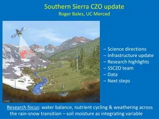
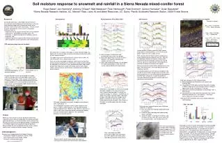
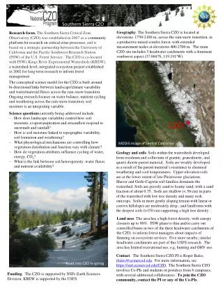
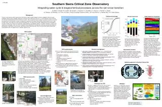
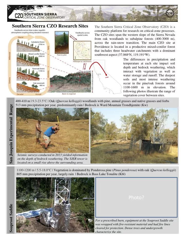
Southern Sierra CZO Research Sites The Southern Sierra Critical Zone Observatory (CZO) is a community platform for research on critical-zone processes. The CZO sites span the western slope of the Sierra Nevada from oak woodlands to subalpine forests (400-3000 m), across the rain-snow transition. The main CZO site at Providence is located in a productive mixed-conifer forest that includes three headwater catchments with a dominant southwest aspect (37.068oN, 119.191oW). The differences in precipitation and temperature at each site impact soil depth and bedrock weathering, which interact with vegetation as well as water storage and runoff. The deepest soils and most intense weathering occur in the pine/oak forests around 1100-1600 m in elevation. The following photos illustrate the range of vegetation cover between sites. San Joaquin Experimental Range 400-410 m | 9.3-23.5°C | Oak (Quercuskelloggii) woodlands with pine, annual grasses and native grasses and forbs 513 mm precipitation per year, predominantly rain | Bedrock is Ward Mountain Trondhjemite (Kw) Seismic surveys conducted in 2013 yielded information on the depth of bedrock weathering. The SJER tower is located on a small rise above the surrounding area. Soaproot Saddle 1100-1200 m | 5.5-18.0°C | Vegetation is dominated byPonderosa pine (Pinus ponderosa) with oak (Quercuskelloggii) 805 mm precipitation per year, largely rain | Bedrock is Bass Lake Tonalite (Kbl) Photo? For a prescribed burn, equipment at the Soaproot Saddle site was wrapped with fire-resistant material and had fire lines cleared for protection. Dense trees and undergrowth characterize the site.
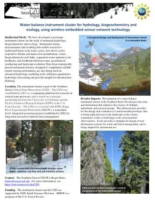
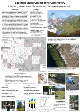
Providence Creek Catchments 1660-2115 m | 2.7-14.8°C | Mixed conifer forest has white fir (Abiesconcolor), pines, and incense cedar (Calocedrusdecurrens) | 1000-1200 mm precipitation per year, rain/snow mix| Bedrock: Dinkey Creek Granodiorite Instrumentation at Providence includes a distributed network of sensors to measure water transfers (left), heavily instrumented trees (Critical Zone Tree-1, center), and a 50-m tall flux tower tracking land-atmosphere carbon and water transfers (right). 2700 m | -1.9-10.2°C | Subalpine forest dominated by lodgepole pine (Pinuscontorta subsp. murrayana) 1078 mm precipitation per year, mostly snow | Aplite & felsic quartz monzonite dikes, Granodiorite of Dinkey Creek Short Hair Creek Photo? Photo? Undergrowth at Short Hair is sparse (below); the tower at Short Hair was constructed in 2010 (right) Wolverton and Long Meadow, Sequoia National Park More CZO work on snow distribution and surface-groundwater interactions is conducted in Sequoia NP. Sweet spot. Summer dry periods limit evapotranspiration (Et) at lower elevations, while cold weather limits winter growth at higher elevations. These patterns create a sweet spot for forest growth at middle elevations (~1000-2000 m). Contact. The Southern Sierra CZO PI is Roger Bales, rbales@ucmerced.edu. For more information, see criticalzone.org/sierra .To join the CZO community, contact the PI or any of the Co-PIs.