Download
1 / 2
20 likes | 131 Views
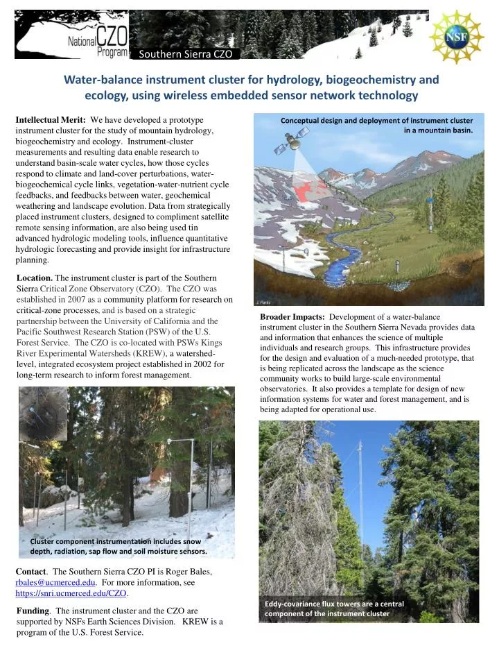
Southern Sierra CZO. Water-balance instrument cluster for hydrology , biogeochemistry and ecology, using wireless embedded sensor network technology. Conceptual design and deployment of instrument cluster in a mountain basin. .

E N D
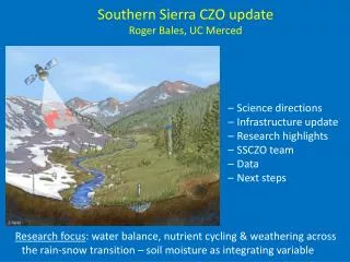
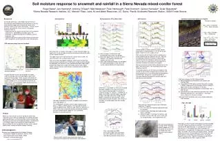
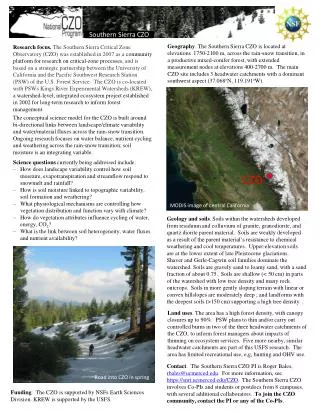
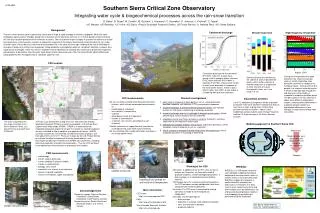
Southern Sierra CZO Water-balance instrument cluster for hydrology, biogeochemistry and ecology, using wireless embedded sensor network technology Conceptual design and deployment of instrument cluster in a mountain basin. Intellectual Merit: We have developed a prototype instrument cluster for the study of mountain hydrology, biogeochemistry and ecology. Instrument-cluster measurements and resulting data enable research to understand basin-scale water cycles, how those cycles respond to climate and land-cover perturbations, water-biogeochemical cycle links, vegetation-water-nutrient cycle feedbacks, and feedbacks between water, geochemical weathering and landscape evolution. Data from strategically placed instrument clusters, designed to compliment satellite remote sensing information, are also being used tin advanced hydrologic modeling tools, influence quantitative hydrologic forecasting and provide insight for infrastructure planning. Location. The instrument cluster is part of the Southern Sierra Critical Zone Observatory (CZO). The CZO was established in 2007 as a community platform for research on critical-zone processes, and is based on a strategic partnership between the University of California and the Pacific Southwest Research Station (PSW) of the U.S. Forest Service. The CZO is co-located with PSWs Kings River Experimental Watersheds (KREW), a watershed-level, integrated ecosystem project established in 2002 for long-term research to inform forest management. Broader Impacts: Development of a water-balance instrument cluster in the Southern Sierra Nevada provides data and information that enhances the science of multiple individuals and research groups. This infrastructure provides for the design and evaluation of a much-needed prototype, that is being replicated across the landscape as the science community works to build large-scale environmental observatories. It also provides a template for design of new information systems for water and forest management, and is being adapted for operational use. Cluster component instrumentation includes snow depth, radiation, sap flow and soil moisture sensors. Contact. The Southern Sierra CZO PI is Roger Bales, rbales@ucmerced.edu. For more information, see https://snri.ucmerced.edu/CZO. Eddy-covariance flux towers are a central component of the instrument cluster Funding. The instrument cluster and the CZO are supported by NSFs Earth Sciences Division. KREW is a program of the U.S. Forest Service.
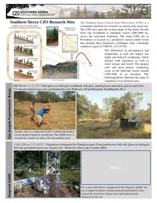
View from flux tower Wireless network. At present we have perhaps the largest ecological wireless sensor network in the world spanning approximately 1.5 km and covering an area of 50 hectares. We have constructed a networked instrument over this densely wooded area using 60 low-powered wireless sensor motes supervising more than 280 sensors. The sensor nodes are operated solely through solar power with battery; the transmission hopping nodes operate for a year using only two AA batteries. We also designed a custom data-logging board to interface the network layer with the sensors. Sensing node Hopper node Design. We have developed statistical modeling techniques based on in situ system tests that allow for strategic placement of clusters, and sensor stations within clusters, optimizing topography and science. Statistics gathered from the 60-node CZO network were used to create a Gaussian Process model of snow depth and soil moisture; variance estimates produced by this model suggest near-optimal locations for sensors to measure the variability across a 1 km2 grid. Further refinement of the tool will ensure optimized network, with stronger radio links for difficult winter conditions and heavy snowfall. At larger scales, developing the software for multi-layer networking topology requires incorporation of further computer science theory, and will result in a currently unachievable water-balance instrument. Wireless network extensions. From our experience at the CZO we have developed tools that allow for even larger wireless hydrology measurement systems, both hardware and software. Future network hardware will integrate next-generation wireless networking sensor nodes, called ‘motes,’ made available to us well before commercial availability. These motes will use 3 mA transmit current at 0 dBm, and 3 mA receive current, resulting in 5-10 times the battery life of competing technologies. This hardware integrates a linear RF amplifier providing 8 dBm;we will have 50% greater range, at lower power consumption, than our current CZO hardware. 50 m Node w/ antenna Embedded base station Sensors. The 60-m flux tower includes measurements of water, carbon and momentum. The cluster includes 2 meteorological stations, 4 stream gauges, over 200 EC-TM sensors for volumetric water content, over 100 MPS sensors for matric potential, 60 acoustic snow-depth sensors, a snow pillow, meadow piezometers and wells, sap-flow sensors, and stream turbidity , temperature and dissolved oxygen. Air and soil temperature is included in each sensor. Missing are deeper wells and extended piezometer/well arrays. Costs. The Southern Sierra instrument cluster cost was about $600,000, not including the stream gauges and meteorological stations. Replicating this instrument cluster at other CZO locations would cost a similar amount. Adding wells down into bedrock, and pre-existing instrumentation, would increase the cost to about $1 million.