Download
1 / 22
280 likes | 638 Views
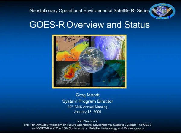
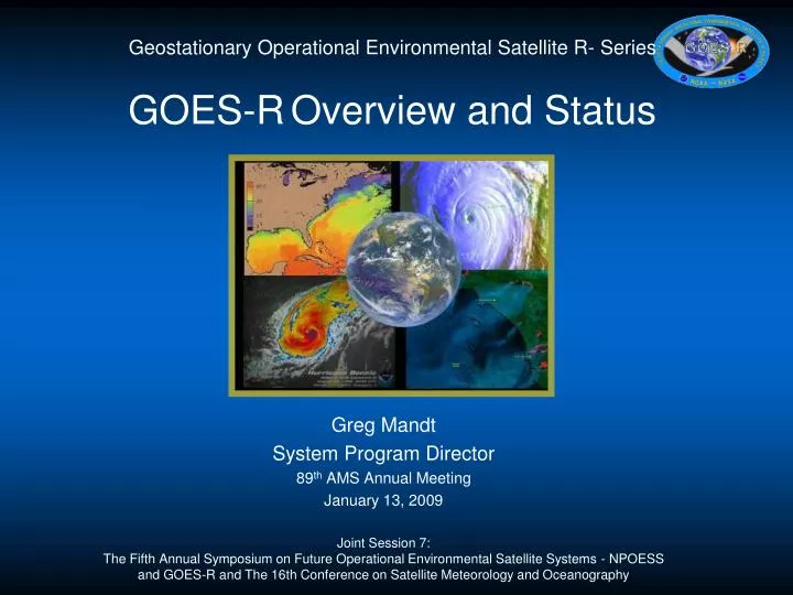
Geostationary Operational Environmental Satellite R- Series GOES-R Overview and Status. Greg Mandt System Program Director 89 th AMS Annual Meeting January 13, 2009

E N D
Geostationary Operational Environmental Satellite R- SeriesGOES-ROverview and Status Greg Mandt System Program Director 89th AMS Annual Meeting January 13, 2009 Joint Session 7: The Fifth Annual Symposium on Future Operational Environmental Satellite Systems - NPOESS and GOES-R and The 16th Conference on Satellite Meteorology and Oceanography
Stages of Program Management • 1. Wild enthusiasm • 2. Dissillusionment • 3. Confusion • 4. Panic • 5. Search for the guilty • 6. Punishment of the innocent • 7. Reward the non-participants
Operational-West GOES-11 (135W) Operational-East GOES-12 (75W) GOES-13 (105W) On-orbit Storage GOES Constellation • GOES mission requires two on-orbit operational satellites and one on-orbit spare • GOES-West location in GOES-R series to be 137°W instead of current 135°W - eliminates conflicts with other satellite systems in X-band frequency at 135°W Note: Satellites are labeled with letters on the ground and changed to numbers on-orbit
2007 2008 2009 2010 2011 2012 2013 2014 2015 2016 2017 2018 2019 2020 2021 2022 2023 2024 2025 2026 2027 2028 Calendar Year Backup GOES 10 Satellite is operational beyond design life GOES 11 GOES West On-orbit GOES storage GOES 12 GOES East Operational GOES 13 On-orbit Spare GOES O GOES P GOES R GOES S As of January 5, 2009 Launch Schedule • GOES R series is a follow-on to the existing line of NOAA’s geostationary weather satellites • GOES I series [8-12]: Operational since 1994 • GOES N series [13]: N launched May 24 2006, O planned launch April 2009, P planned launch late 2009 • Based on an availability analysis of the current GOES I and N-series, a GOES-R launch is required in the 2015 timeframe to maintain mission data continuity
Why GOES-R? • Continuation of NOAA capability required to observe, protect and manage the earth’s resources to promote environmental stewardship • Enhance ability to predict and track storms; plan routes for airlines and ship traffic, identify demands for natural resources such as gas and water, and assess space weather impacts on sensitive electronics such as satellites and terrestrial communications • Improve: • Hurricane track & intensity forecast • Thunderstorm & tornado warning lead time • Aviation flight route planning • Solar flare warnings for communications and navigation • Power blackout forecasts due to solar flares • Energetic particle forecasts GOES-R Instruments: Advanced Baseline Imager (ABI)& Geostationary Lightning Mapper (GLM) Extreme Ultra Violet Sensor/X-Ray Sensor Irradiance Sensor (EXIS) Solar Ultra Violet Imager (SUVI) Space Environmental In-Situ Suite (SEISS)
GOES-R Improvements • GOES-R maintains continuity of the GOES mission • GOES-R also provides significant increases in spatial, spectral, and temporal resolution of products
GOES-R System Configuration GOES-West 137° West GOES-East 75° West Data Command & Control, Data Data Direct Readout Users Command & Control, Data Remote Backup Facility NOAA Satellite Operations Facility Suitland, MD Command and Data Acquisition Station Wallops, VA
GOES-R Program Schedule Time now
ABI: Improved Resolution Simulated “ABI” Spectral Bands Corresponding Simulated GOES Imager Spectral Bands
ABI Prototype Model (PTM) • Critical path East/West scan mirror on delivered • East/West scanner integration progressing on schedule • PTM Focal Plane Modules progressing • VNIR module delivered • Telescope environmental testing complete • Completed fit-checking the telescope structure in the PTM optical bench
Legend: Current baseline dates for Mar 2010 delivery Critical path Complete ABI Prototype Model Integration Flow NS Mirror Apr 08 NS Encoder May 08 NS Scanner Jan 09 EW Encoder May 08 EW Mirror Sep 08 EW Scanner Feb 09 Optical Bench Structure Feb 08 Telescope Jan 09 PTM Integration Mar 09 Initial Bench Test Apr 09 Active Cooler Dec 07 FPMs Feb 09 Aft Optics Feb 09 Pre-Environmental Review Aug 09 EnvironmentalTest Sep 09 BenchTest Jan 10 Calibration Jan 10 PTM Complete Mar 10 PSR Jan 10
Detects total strikes: in cloud, cloud to cloud, and cloud to ground Complements today’s land based systems that only measures cloud to ground (about 15% of the total lightning) Increased coverage over oceans and land Currently no ocean coverage, and limited land coverage in dead zones GLM 12
GLM • Awarded subcontracts for detector and telescope • Electronics architecture trades continuing • PDR planned for March 2009 150 cm tall 25 cm 48 cm 63 cm dia 42 cm Sensor Unit Electronics Unit
Space Weather Instruments Space Environment impacts Earth Instruments provide early warning Communications satellites / power grids Voice and data blackouts over poles Communications blackouts Aviation routing Astronaut safety Solar storms can expose astronauts to equivalent of 8 chest X-rays
SGPS-1 SGPS-2 EHIS MPS-Hi DPU MPS-Lo SEISS • Design updates continuing based upon breadboard telescope test results • Successful PDR held in December 2008 SEISS Components
EXEB XRS EUVS SUVI • Successful Preliminary Design Review completed October 2008 • Successful Preliminary Design Review completed November 2008 EXIS
Unique Payload Services (UPS) • High Rate Information Transmission/Emergency Managers Weather Information Network (HRIT/EMWIN) • Data Collection System (DCS) • Search and Rescue Satellite Aided Tracking (SARSAT) service • GOES-R Re-Broadcast (GRB) - follow on of L-Band GVAR Cougar Ace incident off of Alaska (24 rescued) was detected by GOES-11 at 830z (and NOAA-17 at 831z while it was within view of Hawaii). Figure courtesy of Thomas.M.Wrublewski. Higher Data Rates for HRIT, EMWIN, DCS, and GRB
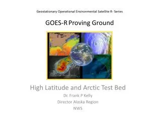
GOES-R Proving Grounds Animation of sample ABI visible and near-IR bands in AWIPS AWG Proxy ABI Simulations of Hurricane Katrina GLM Lightning Jump Algorithm: Experimental Trending Implementation in AWIPS/SCAN
GOES-R Training Series http://meted.ucar.edu/goes_r/envmon/
3-5 November 2009 Monona Terrace Convention Center Madison, Wisconsin 6th GOES Users’Conference http://cimss.ssec.wisc.edu/goes_r/meetings/guc2009/ Geostationary Operational Environmental Satellites: http://www.goes-r.gov Special Event on 2 November: 50th Anniversary of the 1st Meteorological Satellite Experiment