Download
1 / 12
140 likes | 195 Views
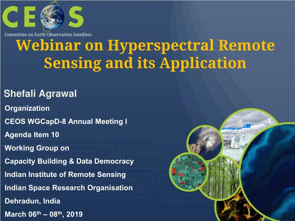
Webinar on Hyperspectral Remote Sensing and its Application. Committee on Earth Observation Satellites. Shefali Agrawal. Organization CEOS WGCapD-8 Annual Meeting l Agenda Item 10 Working Group on Capacity Building & Data Democracy Indian Institute of Remote Sensing

E N D
Webinar on Hyperspectral Remote Sensing and its Application Committee on Earth Observation Satellites Shefali Agrawal • Organization • CEOS WGCapD-8 Annual Meeting l • Agenda Item 10 • Working Group on • Capacity Building & Data Democracy • Indian Institute of Remote Sensing • Indian Space Research Organisation • Dehradun, India • March 06th – 08th, 2019
WGCapD-8 Annual Meeting • IIRS, Dehradun, IndiaMarch 06th – 08th, 2019 Webinar Objectives By the end of this webinar series, students should: • Understand the concept of Hyperspectral Remote Sensing and appreciate why calibration is critical and knowledge of approaches taken for the atmospheric correction of hyperspectral data. Know about advantages of hyperspectral over optical remote sensing • Be able to understand the processing steps of hyperspectral data and availability of software’s. • Application of Hyperspectral remote sensing for Vegetation, Water resources and geological studies
WGCapD-8 Annual Meeting • IIRS, Dehradun, IndiaMarch 06th – 08th, 2019 Schedule • October – December 2019 • Time 1300 UTC • Nov 4th - 2nd December 2019 • Sessions on every Monday of 1 hour duration and 30 min for discussion Mode : GoTo Meeting/GoTo Webinar Number of Participants • 100-200 participants
WGCapD-8 Annual Meeting • IIRS, Dehradun, IndiaMarch 06th – 08th, 2019 Target Region • The course is open to participants from all countries. • All course materials will be provided in English. Target Participants • Academician, Scientists, Researchers and Professionals interested in Hyperspectral Remote Sensing and its applications.
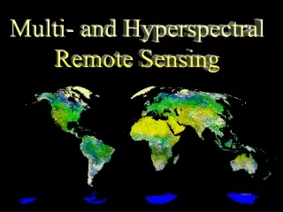
WGCapD-8 Annual Meeting • IIRS, Dehradun, IndiaMarch 06th – 08th, 2019 Themes of Webinar Overview of Hyperspectral Remote sensing • Hyperspectral remote sensing- concept, Physics, principles-imaging spectroscopy, Multispectral vshyperspectral, Imaging platforms and Modes (airborne, ground based and space based), Historical and recent Hyperspectral airborne and space borne Mission, Ground based sensors, hyperspectral data preprocessing, Radiometric calibration Instructor: NASA/JPL/CNES/INPE/DLR
WGCapD-8 Annual Meeting • IIRS, Dehradun, IndiaMarch 06th – 08th, 2019 Information Extraction from Hyperspectral data/Hyperspectral data processing Algorithms Data Dimensionality reduction techniques, end member selection, spectral libraries, Hyperspectral Indices, overview of hyperspectral data classification approaches- SAM, SVM, Spectral un-mixing, spectral matching methods Instructor: ISRO Hyperspectral Remote Sensing for vegetation Studies Spectra of vegetation/ crop, spectral libraries of crop and vegetation, Hyperspectralvegetation Indices, species/community level detection and discrimination, Canopy chlorophyll estimation, Foliar nitrogen content estimation, vegetation stress detection- Case examples Instructor: NASA/JPL/CNES/INPE/DLR
WGCapD-8 Annual Meeting • IIRS, Dehradun, IndiaMarch 06th – 08th, 2019 Hyperspectral Remote Sensing for Geological Applications Mineral spectra and their characteristic absorptions, mineral mapping, lithological mapping, hydro carbon exploration Instructors: ISRO Hyperspectral Remote Sensing for Water resources Spectra of Water, snow. Water quality, snow physical parameter retrieval, soil moisture • Instructor: ISRO
Announcement • Announcement Brochure to be prepared and upload by May end • CEOS website April, IIRS Website, ARSET-NASA • Regional Centers for Space Science and Technology Education (affiliated with United Nations) • Latin America and the Caribbean (Mexico and Brazil): CRECTEALC (Regional Center for Space Science and Technology Education for Latin America and the Caribbean) • Asia and the Pacific (India): CSSTEAP (Centre for Space Science and Technology Education in Asia and the Pacific) • Africa (Morocco): CRASTE-LF (African Regional Centre for Space Science and Technology Education in French Language) • Africa (Nigeria): ARCSSTE-E (African Regional Centre for Space Science and Technology Education in English Language) • Western Asia (Jordan): Regional Centre for Space Science and Technology Education for Western Asia • Any other • WGCapD-8 Annual Meeting • IIRS, Dehradun, IndiaMarch 06th – 08th, 2019
WGCapD-8 Annual Meeting • IIRS, Dehradun, IndiaMarch 06th – 08th, 2019 Registration • ISRO LMS ( http://elearning.iirs.gov.in/wgcapd/CEOS/ ) Instructional Material • Presentation given via Power Point • Recorded online sessions • Data source and reading material links
WGCapD-8 Annual Meeting • IIRS, Dehradun, IndiaMarch 06th – 08th, 2019 Student Assessment • Through assignments and quizzes Certificate of participation • Successful Participants to be given certificate of participation
WGCapD-8 Annual Meeting • IIRS, Dehradun, IndiaMarch 06th – 08th, 2019 Feedback • Through Feedback submitted by candidates/participants Prerequisite • Elementary knowledge about Remote Sensing
WGCapD-8 Annual Meeting • IIRS, Dehradun, IndiaMarch 06th – 08th, 2019 Thank you…