Download
1 / 32
320 likes | 417 Views
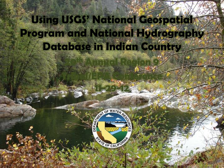
Using USGS’ National Geospatial Program and National Hydrography Database in Indian Country. 20 th Annual Region 9 Tribal/EPA Conference 11-29-12. Outline. Introductions What is the NHD? W hy is it important to Tribes ?.

E N D
Using USGS’ National Geospatial Program and National Hydrography Database in Indian Country 20th Annual Region 9 Tribal/EPA Conference 11-29-12
Outline • Introductions • What is the NHD? • Why is it important to Tribes?
Kimberly Johnston-Dobbskimberly.johnston-dodds@water.ca.govChristina Boggschristina.boggs@water.ca.gov USGS Contacts Carol OstergrenNational Geospatial Programcostergren@usgs.gov Hank Nelson Technical NHD Lead hpnelson@usgs.gov
What is the National Hydrography Dataset? Essentially the surface water features found on topographic maps
High Resolution National Hydrography Dataset Statistics 1 - Not including the Great Lakes 2 - Including only river polygon area, not single-line river area 3 - Typically water filtration, sewage treatment, fish hatcheries 4 - Based on USGS topographic mapping standards – not National Wetland Inventory 5 - Difference between normal pool area of lakes and area at spillway height
High Resolution National Hydrography Dataset Statistics 1 – Generic, perennial, and intermittent single-line streams 2 – Linear pathway distance through lakes, river polygons, canal polygons, and some marsh/swamp 3 – Pathway known to exist, but not seen on imagery 4 – Including Great Lakes 5 – Not conclusive
Streams – Creating the fundamental network Perennial Swan Creek Intermittent Ephemeral
Linear Referencing – Stream “Reaches” Reach 14010002000421 Reach 14010002003345
Linear Referencing – Stream addresses 14010002000421 0 50 25 75 100
Linear Referencing – Data “Events” USGS Streamgage 09050000 Coordinate 106 05 13.955 W 39 32 43.472 N Address: Reach – 14010002000421 Measure – 19.8392
Connecting the streamgage to the network Blue River Artificial Path (Blue River) Streamgage Downstream Dam Green Mountain Reservoir Upstream
Chemistry Lakes Cutthroat Trout Transportation Orthoimagery Fish Habitat National Hydrography Dataset Streams Structures Hydrography Elevation The National Map Watershed Boundary Dataset Map Portal
NHDPlus estimates only natural stream flow ColoradoRiver Photo courtesy of Jonathan Waterman Flow volume estimates in the NHDPlus do not account for diversions
Trans - Basin Diversions 3 Levels Regional Subregional Subbasin
Inter- Regional Colorado River Aqueduct Diversion 242 miles long 1.2 million acre-feet per year
Inter- Subregional • California Aqueduct • 444 miles long • 2.6 million acre-feet per year
Thank for your attention this afternoon! A cartographic curiosity - Any guesses what this is? More info at www.nhd.usgs.gov