Download
1 / 29
290 likes | 293 Views
Learn how emergency measure organizations use GeoHazard information to motivate Canadians to be prepared for natural hazard events. This article discusses the program, project, survey findings, and next steps.

E N D
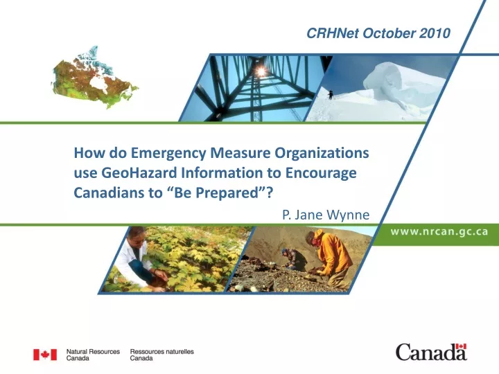
CRHNet October 2010 How do Emergency Measure Organizations use GeoHazard Information to Encourage Canadians to “Be Prepared”? P. Jane Wynne
Outline • The program • The project (mandate and expertise) • The fence and the managerial challenge • The survey/inventory • The results from the survey – next steps • Conclusions Canada’s Natural Resources – Now and for the Future
Public Safety Geoscience The program outcome : The Risks of Natural Hazards are Reduced Canada’s Natural Resources – Now and for the Future
Earthquakes Space Weather Landslides Volcanoes Tsunamis NRCan’s Hazards Mandate Canada’s Natural Resources – Now and for the Future
NRCan’s Hazards Mandate Canada’s Natural Resources – Now and for the Future
Qualitative Risk Function Risk = Hazard x Vulnerability Canada’s Natural Resources – Now and for the Future
Public Safety Geoscience projects Hazard Assessment: • National Guidelines for Natural Hazard Assessment (and Mitigation) Peter Bobrowsky, GSC Northern • National-Scale Hazard Assessments Garry Rogers, GSC Pacific • Targeted Hazard Assessments in Western, Eastern and Northern Canada Kelin Wang, GSC Pacific; Greg Brooks, GSC Northern; David Boteler, Canadian Hazard Information Service Canada’s Natural Resources – Now and for the Future
Public Safety Geoscience projects Vulnerability: • Increasing Personal Preparedness for Natural GeoHazards Jane Wynne, GSC Pacific • National Guidelines for Natural Hazard Assessment (and Mitigation) Peter Bobrowsky, GSC Northern Risk: • Quantitative Risk Assessments Miro Nastev, GSC Quebec Canada’s Natural Resources – Now and for the Future
The Project Increasing Personal Preparedness for GeoHazards The challenge: • Preparedness is not in our departmental mandate • Increasing personal preparedness involves changing peoples’ behaviour (social marketing) – not our realm of expertise Canada’s Natural Resources – Now and for the Future
Managerial challenge: Objective: Ensure that public safety and emergency management organizations have the geohazard information they require to motivate Canadians to effectively prepare for natural hazard events. To meet this objective: • Evaluate how geohazard knowledge and products are currently used in EMO product design and program implementation Canada’s Natural Resources – Now and for the Future
The Fence Natural Resources Canada Provinces and Territories Canada’s Natural Resources – Now and for the Future
The Cascade Model Natural Resources Canada Provinces and Territories EMO’s Municipalities Regional districts Citizen Canada’s Natural Resources – Now and for the Future
The Survey Questionnaire to find out: • how Provincial and Territorial Emergency Management Organizations currently use geohazard information • where they get that information • what other geohazard information do they need to motivate Canadians to effectively prepare (for geohazard events) Canada’s Natural Resources – Now and for the Future
The Survey • Public Safety Canada helped identify the Provincial and Territorial contacts • The survey was sent by email in Nov 2009 • Sample answers provided • 12/13 responses received by February 2009 “Do you currently use any geohazard information in your outreach products or programs?” Yes 5 more questions No 3 more questions Canada’s Natural Resources – Now and for the Future
The Survey Homework: website review Observations: • NRCan information and links to NRCan geohazard sites well placed in PSC’s website and EMBC website • All Provincial/Territorial EMO sites link to PSC website • PQ children’s section has excellent information on GeoHazards Canada’s Natural Resources – Now and for the Future
The Survey - results Geohazard information is currently used sporadically in outreach and education products and programs • Don’t know what information is available • Very small budgets and limited manpower to develop local products • GeoHazards are not perceived to be “top of mind” threats Canada’s Natural Resources – Now and for the Future
June 23, M 5 Val-des-Bois earthquake Landslide triggered by the earthquake, Mulgrave-et-Derry, QC (photo Didier Perret) Damage in Toronto Canada’s Natural Resources – Now and for the Future
The Survey - results • EMO’s are interested in Natural Hazards • tornadoes • floods • droughts • avalanches Outside of NRCan’s GeoHazard Five (Earthquakes, Landslides, Space Weather, Tsunamis and Volcanoes) Canada’s Natural Resources – Now and for the Future
The Survey - results • Interest in wild fires and permafrost, NRCan has expertise (outside of the Public Safety Geoscience Program) • There are regional geohazard experts in provincial ministries (e.g. Ministry of Transportation in Quebec or Ministry of Natural Resources in NL for landslides) Canada’s Natural Resources – Now and for the Future
The Survey – next steps Provide each agency with a detailed list of currently available geohazard resources website URL’s, PDF’s of Geofact sheets, lists of subject matter experts (Request from BC, ON, NT, BC, AB, SK, MA, NS) Market what we have! Canada’s Natural Resources – Now and for the Future
Atlas of Canada • Earthquakes • Floods • Forest Fires • Landslides • Space Weather • Storm Surges • Volcanoes • Tsunamis Canada’s Natural Resources – Now and for the Future
Geofacts • in French and English • 9 titles Canada’s Natural Resources – Now and for the Future
Hazard Experts Canada’s Natural Resources – Now and for the Future
The Survey – next steps • Identify available resources and subject matter experts in permafrost degradation and wild fires and include those in our information package. (Request from NU, AB and SK) Canada’s Natural Resources – Now and for the Future
The Survey – next steps With some resources we could: • Develop region-specific event summaries with photos (suggested by NS, SK, Quebec, and YK) • Prepare public education material for space weather, geomagnetic storms and geomagnetic forecasting (PEI, NT) • Host virtual web conferences for EMO’s with geohazard experts - a get to know the experts session (who to call on for what information) (Suggested by BC) Canada’s Natural Resources – Now and for the Future
The Survey - Conclusions • NRCan is not the only source of geohazard information in Canada • Work with other federal departments to ensure EMO’s have the natural hazard information they need (Federal Natural Hazards Club?) • Continue to work with PSC supporting their “Know the Risk” piece • Municipalities have the most direct contact with citizens – what geohazard info do they use/need? Canada’s Natural Resources – Now and for the Future
The Cascade Model Natural Resources Canada Provinces and Territories EMO’s Municipalities Regional districts Citizen Canada’s Natural Resources – Now and for the Future
Thank you Canada’s Natural Resources – Now and for the Future