Download
1 / 27
270 likes | 273 Views
The City Council will be reviewing and considering various policy amendments and rezoning recommendations related to the Bridge Vista area. The proposals aim to create a comprehensive plan for development and address the needs of the community. These recommendations include changes to allowed uses, design guidelines, parking and landscaping standards, and the creation of a new Pedestrian Oriented District.

E N D
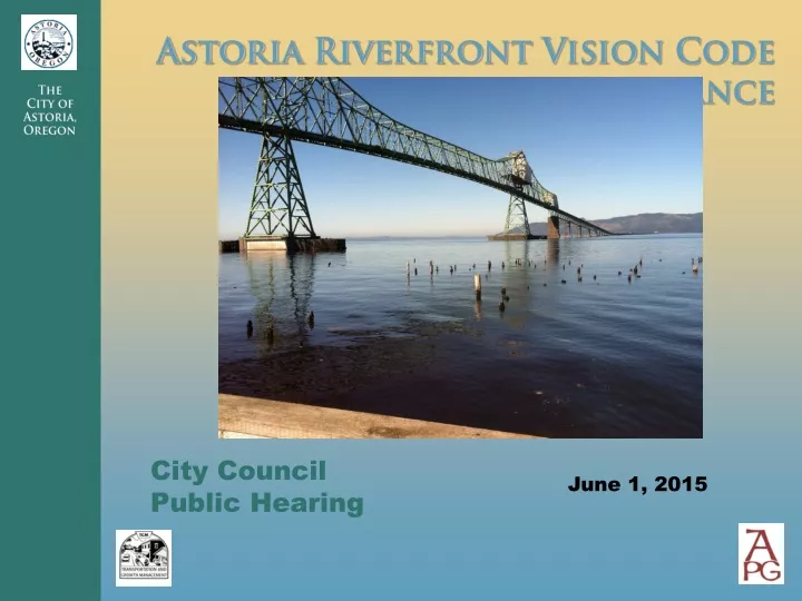
City Council Public Hearing June 1, 2015
Bridge Vista Recommendations • Adopt Comprehensive Plan policy amendments • Rezone Tourist Commercial (C-2) zone to combination of General Commercial (C-3) and Shoreland (S-2) • Adopt Bridge Vista overlay zone • Changes to selected allowed uses • New overwater development and access standards • New design and development guidelines • Updated parking, landscaping standards • Create new Pedestrian Oriented District within part of Bridge Vista area • Differences in selected allowed uses • Differences in design and development standards
Planning Commission Recommendation and Comments • Recommend approval by City Council • No further changes identified by APC • Amendments not perfect or satisfactory to all community members but represent good work by staff and APC: • Balanced approach to addressing economic development view protection goals • Design and development guidelines help achieve Riverfront Vision Plan objectives • Very important step forward compared to existing requirements • Adoption should not be delayed
Planning Process • Four work sessions with Planning Commission • Town Hall meeting • Alternatives and options for development code and zoning concepts and amendments • Overwater development visualizations • Multiple drafts of potential code amendments • City Council briefing • Planning Commission public hearing • Information and public comments via email, city Website, telephone, in-person meetings and work sessions
Bridge Vista Planning Vision Plan Land Use Assumptions and Objectives • Continue to support water-dependent uses; allow for commercial and residential uses that support but don’t compete with the Downtown core. • If development is to occur, promote new uses that are consistent with Astoria’s “working waterfront.” • Encourage design of new or rehabilitated buildings that respect Astoria’s character. • Encourage new development along the River to improve and celebrate the River Trail and provide visual and periodic physical access to the water.
Bridge Vista Planning Vision Plan Land Use Assumptions and Objectives • Improve physical connections to adjacent neighborhoods. • Use setbacks, stepbacks and other measures to ensure an open feel and continued visual access to the river. • Change zoning of area west of 2nd Street from Tourist Commercial to other commercial zone. • Expand (Uniontown) design overlay for the historic district to accentuate the historic area (north of US 30) and create a more prominent gateway for the urban core.
Comprehensive Plan Policies • Note importance of River vistas • Emphasize uses that complement Downtown • Incorporate references to Riverfront Vision Plan • Reference commercial & industrial development definitions • Ensure consistency with shoreland designation policies • Ensure consistency with other land use policies
Overwater Development Approach • Height restrictions to protect key vistas – east and west of bridge and area near 2nd Street • Allow overwater development in most other areas • Limit building widths and heights; provide view corridors (prevent a wall of buildings)
Building heights • Within limitation areas: Top of bank • Outside limitation areas: 35 feet
Building width requirements • Building size limitation: Maximum building width of 150 feet • Total width of all buildings: Maximum total width (all structures) 60% of contiguous parcel width • View corridors between buildings: 40 feet
Visual Simulations Hypothetical Scenario
Visual Simulations – Views from River Trail From Near Astoria Warehouse From Basin Street
Visual Simulations – Views from Uphill From Grand Street From Exchange Street
River Access Requirements – Similar to Civic Greenway • Three options – required for new uses • Access hours to be determined by parks, police • Walkways, piers 10-14 feet wide, extending beyond structure to allow views up/down river
Building Height, Setbacks and Stepbacks (land zones) • Maximum Heights: Base height of 35 feet; heights can be increased to 45 feet with stepbacks • Setback: • 70’ view corridor north/south sts. • 10’ setback S. of trail; 20’ N. of trail • 5’ on Marine Dr. • Stepback: Required 10’ stepback above 24 feet
Bridge Vista Zoning Recommendations • Rezone Tourist Commercial (C-2) zoning west of 2nd Street to General Commercial (C-3) • Convert most of the existing Tourist Commercial (C-2) zoning near the bridge to a new pedestrian-oriented zone (C-3 base zone) • Extend portion of existing S-2 zoning to areas of existing C-2 zoning • Limit specific uses in all zones, compared to current zoning
In Aquatic, Shoreland zones, don’t allow: • Fossil fuel and petroleum product terminals • Residential uses • Auto sales and gas stations • Wood processing • Retail (aquatic) • Eating and drinking (aquatic) • Indoor entertainment • Hotels/motels (except existing) • Professional, medical • Conf. centers (except S. of River Trail)
Allowed Uses – Recommended Uses Within C-3, Pedestrian Oriented Zone Don’t permit these uses in C-3 zone: • Auto sales & service, gas stations • Single family homes, duplexes • Manufacturing without retail Prohibit these additional uses in Pedestrian area: • Dog kennels, hospitals, animal hospitals • Drive-through facilities, commercial parking • Conference centers • Warehouses, transp. services, similar uses
Design Guidelines and Standards • Emphasize working waterfront and historic character • Strengthen pedestrian orientation • Incorporate additional design guidelines and standards from Gateway Overlay Zone & Civic Greenway Overlay Zone • Vary standards for industrial and non-industrial uses • Different standards in pedestrian zone • Applicable to new construction, major renovation
Types of Standards and Guidelines • Building and roof forms • Roofing and exterior materials • Doors and windows • Awnings and Lighting • Signs
Landscaping • Limit trees north of River Trail • Parking area landscaping – max tree heights and widths • Encourage or require pedestrian amenities adjacent to development • Use native plant species • Encourage plazas, courtyards north of River Trail • Use columnar species for street trees; limit heights
Off-Street Parking • Reduce requirements for uses <5,000 square feet by 50% • Waive parking requirements for existing uses that cover the maximum allowable portion of a site • Exempt expansions of 10% or less