Download
1 / 10
100 likes | 112 Views
Safety: Sentinel for geohazards regional monitoring and forecasting. Oriol Monserrat Brussels, 20 January 2016. Project Summary. Area of activity: Prevention/Geohazards.

E N D
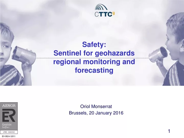
Safety: Sentinel for geohazards regional monitoring and forecasting Oriol Monserrat Brussels, 20 January 2016
Project Summary • Area of activity: Prevention/Geohazards. • Motivation: SAFETY has the challenge to improve the development of prevention products and services, strengthening the capacity for prevention and alerting. • Summary: SAFETY aims at providing Civil Protection Authorities (CPA) with the capability of periodically assessing the potential impact of geohazards on urban areas. SAFETY will enhance ground deformation risk prevention and mitigation efforts in highly vulnerable geographic and geologic regions. The project improves the effort in detecting and mapping geohazards, assessing their activity and evaluating their impact on built-up areas and infrastructure networks. This objective will be based on three key pillars: • the performances of the new spaceborne SAR sensor Sentinel-1, both in terms of wide area coverage and high temporal repeatability; • the development of a free software tool that fully exploits Sentinel-1 SAR data to periodically detect and monitor ground deformations at regional scale; • the exploitation of the software tools and methods developed in the FP7 LAMPRE project to assess geohazard susceptibility and its impact on urban structures and infrastructures.
Project Objectives • Main goal: the main goal of SAFETY is to provide CPAs with the capability of periodically assessing the impact of geohazards (earthquakes, volcanic activity, landslides and subsidence) on urban areas. This will be achieved through these specific objectives: • Providing a procedure involving new free accessible tools and methods that can produce periodically updated geohazard activity maps and impact assessment maps on infrastructure networks and built-up areas. • Creating a sustainable long-term infrastructure involving CPAs and POs responsible for the monitoring, alert declaration and hazard assessment of the geohazards, ensuring a proper coordination between agents and the updated and periodic delivery of the above mentioned key products. • Demonstrating and validating the SAFETY project concept over two real test sites (Canary Islands, Spain; Volterra, Italy), where both the proposed procedure and the long-term infrastructure can be tested and validated. • Ensuring European scalability of the SAFETY project through a sustainable long-term infrastructure and with the organisation of specific dissemination and training events through the European civil protection mechanism and related POs (e.g. EuroGeoSurveys).
Project Summary • Expected results: the SAFETY project will provide the following results: • An open access software tool to fully exploit Sentinel-1 SAR data to periodically detect and monitor ground deformations at regional scale. • Knowledge transfer to CPAs of the recently developed FP7 LAMPRE project software tools and methods to assess geohazard susceptibility and its impact on urban structures and infrastructures. • Implementation and validation of the SAFETY project over two real test sites (Canary Islands, Spain; Volterra, Italy), where geohazard activity maps and impact assessment maps on infrastructure networks and built-up areas will be produced and delivered.
Major events • Project meetings: • SAFETY Technical KO Meeting. It will be held the 28 and 29 of January at the CTTC headquarters (Barcelona, Spain) • SAFETY 1st Year Progress Meeting. It will be held in January 2017 in Florence. • SAFETY Final Meeting. It will be held in December 2017 in Madrid. • Project workshop and training course: They will be held together with the final meeting in December 2017 in Madrid
Follow up • The SAFETY project pretends to provide a consolidated procedure to the Spanish and Italian CPAs to improve their current prevention procedure workflow related to terrain motion geohazards. Moreover, a permanent infrastructure is planned to be designed and a group of experts which will give support to the involved CPAs on the understanding and use of the project products will be consolidated. This group, assembled in SAFETY, will be formed by multidisciplinary experts from remote sensing, geology and risk management. The actions to be done after the end of the project might include one of the following options: • To provide support to the involved CPAs on the use of the SAFETY tools and procedures. • To consolidate the SAFETY consortium as service provider for any CPA, offering the possibility of tailoring the SAFETY procedures and tools to the particular needs of each CPA.