Download
1 / 37
370 likes | 488 Views
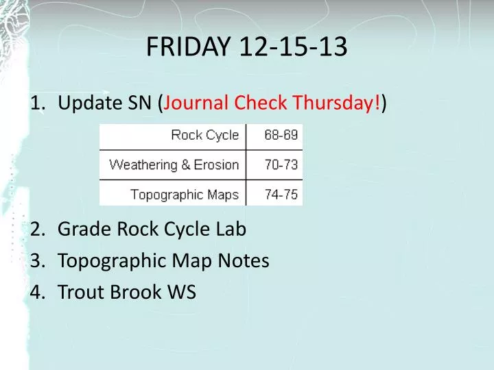
FRIDAY 12-15-13. Update SN ( Journal Check Thursday! ) Grade Rock Cycle Lab Topographic Map Notes Trout Brook WS. Topographic Maps. By the end of class be able to Interpret a topographic map Identify where the slope is steep or gentle The elevation of locations on the map

E N D
FRIDAY 12-15-13 • Update SN (Journal Check Thursday!) • Grade Rock Cycle Lab • Topographic Map Notes • Trout Brook WS
Topographic Maps By the end of class be able to Interpret a topographic map • Identify where the slope is steep or gentle • The elevation of locations on the map • Where hilltops, valleys, & rivers are • Draw a profile of a topographic map
Topographic Maps • Two dimensional model of the Earth’s surface (represents 3-D world) Shows surface features of the earth including; • natural features like rivers, lakes and mountains • manmade features like cities, roads, and bridges.
Contour Lines - represent elevations (height in relationship to sea level.)
“Real World” Contour Map
Topographic Maps • A Contour Line – - connects points of EQUAL elevation. - show elevation - and shape of the land
Relief – difference between highest and lowest contour lines on map • What is the relief of this map? Highest = 30 m -Lowest = 0 m 30 m
Topographic Maps • Contour Interval – difference in elevation between each line. MUST be equal value between any 2 lines. 600-500 = # of lines between = 100/5 = Contour interval = 20 feet 580 560 100 540 520 5
Topographic Maps • Index Contour – Usually every 5th line is printed darker and has an elevation printed on it.
Rules for Contours • Contour lines never cross
Rules for Contours • Contours form closed loops (even if not shown of the map.) • The innermost circle is the top of the hill.
Rules for Contours 3. Contours bend upstream (uphill) when crossing a stream, forming a “V” or “U” in the map
Rules for Contours • The maximum possible elevation for a hill is “1” less than what the next contour “should” be. The highest possible elevation of the hill is just below the value of the next line that is not shown 90 80 70 60 50
399 B 179 A C 239
Closely Spaced Contours 5. Steeper Slope (Gradient) – contour lines are closer together.
Wide Spaced Contours 6. Gradual/Gentle Slope (Gradient) – contour lines are farther apart.
A B
Depressions • Contour lines which show a depression, crater, or sinkhole on a map. • Shown by dashed lines (hachure marks) on the inside of a contour line • The elevation of the first depression contour is the same as the lowest regular contour near it.
Rules for Contours The lowest possible elevation for a depression is “1” more than what the next contour “should” be. The lowest possible elevation of a depression is just above the value of the next line that is not shown 90 90 51 80 70 60 50
100 100 50
Benchmarks • a location whose exact elevation is known and is noted on a brass or aluminum plate. • bench marks are shown on maps by an X with the letters BM written next to them.
Gradient • The slope between any two points on a hill • Gradient = Change in Elevation Horizontal Distance (Vertical Distance) (Side to side distance)
Gradient • A trail is four miles long as measured by the scale on a map. The beginning of the trail is at the 1,060 ft contour line and the end of the trail is at the 960 ft contour line. Calculate the gradient of the trail. Gradient = = 1060 ft – 960 ft 4 miles 100 ft 4 mi = 25.0 ft/mi
Gradient Contour Interval = 20 ft 120 200 180 0 2 4 6 8 10 miles 180 ft – 120 ft 5 miles 60 ft 5 mi = 8 ft/mi
Contour interval = 2. Relief = 3. Which hill has a depression at the top of it? 4. The highest mountain is Color the steepest area red and the gentlest slope green 10m 40 Oak hill Ash hill
To Do: • Trout Brook WS