Download
1 / 23
230 likes | 251 Views
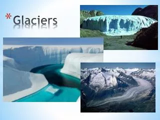
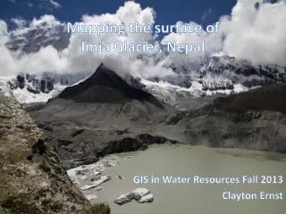
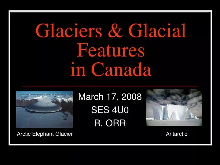
Glaciers & Glacial Features in Canada. March 17, 2008 SES 4U0 R. ORR. Arctic Elephant Glacier. Antarctic. Glaciers. Definition = large, moving mass of ice that shapes the landscape by eroding, transporting, and depositing huge volumes of rocks and sediments. History.

E N D
Glaciers & Glacial Featuresin Canada March 17, 2008 SES 4U0 R. ORR Arctic Elephant Glacier Antarctic
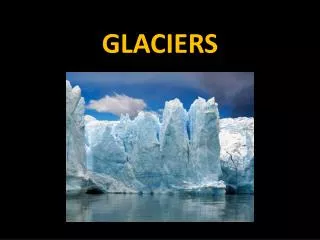
Glaciers • Definition = large, moving mass of ice that shapes the landscape by eroding, transporting, and depositing huge volumes of rocks and sediments
History • last Ice Age started ~1.6 million years ago • ice sheets covered almost all of Canada • the last period began about 100,000 years ago, and the last glaciers began to leave 10,000 years ago • ice cores can be studied to learn more about the Earth’s environmental past
Formation • ice moves like a very thick liquid • Three main areas: • Zone of Accumulation (more new snow than melting & evaporation) • Balance Area or Equilibrium Line • Zone of Ablation (more melting than new snow)
Types of Glaciers • Valley / Alpine • found in the valleys of high mountain regions • move downhill due to: gravity, glacier temp. & thickness, and slope & shape of the valley • crevasses = deep cracks in the surface of the ice • usually move less than 4mm per day • sharpens the tops of mountains and makes broad “U” shaped valleys (from V-shaped)
Types of Glaciers • Continental • much larger in size, can be 4 km thick • move out from the center (thickest) due to weight (flattens out in all directions….like baking cookies) • smooth out landscape (erode hills, fill in valleys)
Glacial Features • There are three main types of formations: • Erosion • Deposition • Lakes
Erosion • Plunking = pieces of rock breaking off when a valley glacier moves • Striations are formed by small rocks, whereas grooves are formed by larger rocks
Erosion: Striations • Also known as Glacial Scarring • Scratches formed by rocks trapped on the bottom of the glacier • (Left) Run in the same direction as the glacier movement Credit: Phil Kor
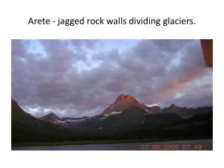
Erosion: • Other types of features formed by erosion include: (see handouts) • hanging valleys • cirques • waterfalls • U-shaped valleys • horns • aretes
Deposition: Moraine • Large, long hill where the glacier stopped • (Left) Eagle Finlayson Moraine: the green band from lower right to upper left (left) is probably the longest single moraine ridge in Ontario.Credit: Phil Kor
Deposition: Drumlin • Tear-drop or egg-shaped hill of glacial debris • 4000+ in ON (e.g. between Guelph and Orangeville) • (Left) A drumlin north of Kagami IslandCredit: Phil Kor
Deposition: Esker • Thin, winding ridges that show where streams once flowed through tunnels within the glacier carrying sediments • (Left) Esker in Timmins, OntarioCredit: Phil Kor
Deposition: Erratic • Large boulder carried far from a place and left in a strange location • (Left) A glacial erratic in Lake Superior Provincial ParkCredit: Lake Superior Provincial Park
Deposition: Outwash Plain • Outwash is when a glacier melts and begins to recede, melted water floods the valley below • The area at the leading edge of the glacier is called the outwash plain
Deposition: Kame • Cone-shaped mounds formed when glacial meltwater deposited sediments from above the ground • (Left) A conical kame hill along the Agutua Moraine.Credit: Phil Kor
Lakes: Cirque Lakes • Cirques can fill with water • Glacier Lake (left) is located in Banff National Park in Alberta
Kettle Lakes & Holes • Kettle Lakes are formed when a large chunk of ice breaks off and melts (water can’t drain) • (Left) Craig's Pit: a large kettle hole in the sand at Lake Superior Provincial ParkCredit: Phil Kor
Moraine-dammed Lakes • When a terminal moraine blocks off a valley, the valley fills with water to form a lake • (Left) Great Lakes: Superior, Michigan, Huron, Erie, Ontario
References • Mackie, Gerald L. (2001) Applied Aquatic Ecosystem Concepts. Kendal/Hunt Publishing Company: Dubuque, Iowa. • National Geographic Text. (????) Section 8.3: Glaciers. • Wearing-Wilde, J. et al. (2000) Natural History of Ontario Course Reader and CD-ROM (ZOO*2050DE). University of Guelph: Guelph, Ontario.