Download
1 / 12
120 likes | 261 Views
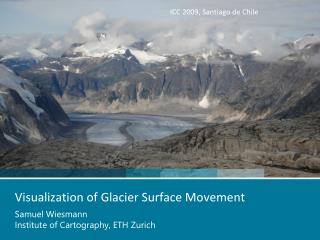
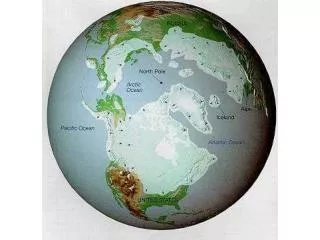
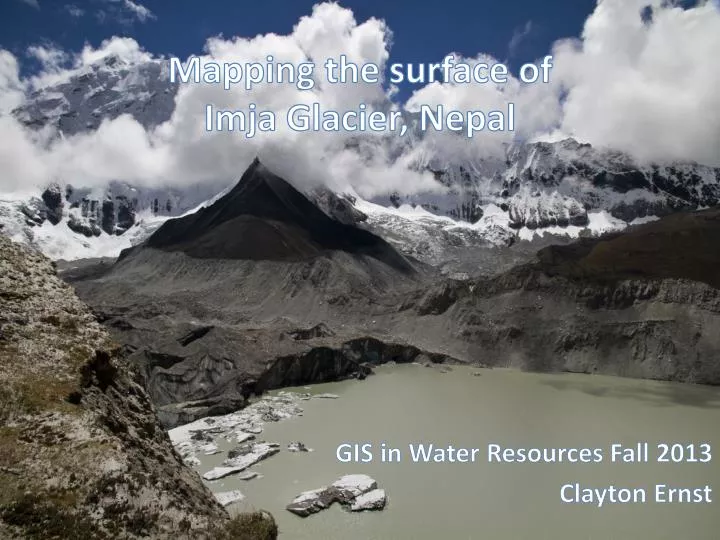
Mapping the surface of Imja Glacier, Nepal. GIS in Water Resources Fall 2013 Clayton Ernst. What is the Problem ?. Climate Change → Warmer Alpine Temperatures → Melting Glaciers → Formation of Glacial Lakes Potential for Glacial Lake Outburst Floods

E N D
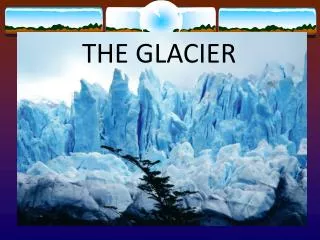
Mapping the surface of Imja Glacier, Nepal GIS in Water ResourcesFall 2013 Clayton Ernst
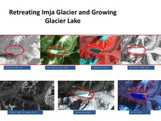
Whatis the Problem? • Climate Change → Warmer Alpine Temperatures → Melting Glaciers → Formation of Glacial Lakes • Potential for Glacial Lake OutburstFloods & devastatingconsequencesdownstream • Lack of Understanding of Glacial Melting → Need for more accuratemeltmodels (to informdisaster planning & preparation)
Focus: ImjaTsho, Nepal • Analyze recently collected field data of debris cover thickness • Correlate with digital surface model • Infer debris thickness across extent of glacier GOALS:
Data Summary DEM from ALOS PRISM by D. Lamsal, 2006 5m spatial resolution (1/6 arcsec) Debris thickness measurements by Dave Rounce of McKinney Research Group (CRWR-EWRE) September 2013
Interpolation Attempt: Kriging Note: N = 22
Digital Surface Model Next: Attempt to find correlations between slope, aspect, or curvature and debris thickness
ElevationDiscrepancy Lamsal DEM vs. GPS Tracker Recorded Elevation On-glacier
Results & Future Work • Imjaglacier’s surface iscomplexand dynamic More comprehensiveis data required to makemeaningfulinferences • Performfurtherstatistical analyses withelevationdiscrepancydata: are differencessignificant? On-glacier vs. Off-glacier? • Investigatealternative data sources – i.e. ASTER albedo data
Questions? ACKNOWLEDGEMENTS: Dave Rounce (PhD candidate) & Dr. Daene McKinney