Download
1 / 19
190 likes | 860 Views
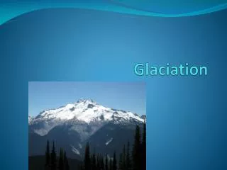
What you need to know. Features of Glacial ErosionHow the features were formed including diagrams to show their formationLand uses in glaciated uplandsLand use conflicts in glaciated uplands and solutions to theseKEY WORDS: ABRASION, PLUCKING. What are the features of glacial erosion?. U-shaped ValleyHanging ValleyCorrieTarn (Corrie Lochan)Pyramidal PeakAreteRibbon LakeMiss-fit streamTruncated SpurScree.

E N D
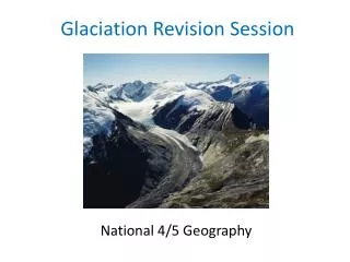
1. Glaciation Revision
3. What are the features of glacial erosion? U-shaped Valley
Hanging Valley
Corrie
Tarn (Corrie Lochan)
Pyramidal Peak
Arete
Ribbon Lake
Miss-fit stream
Truncated Spur
Scree
4. A very common glaciation question featured in 2001: a) Using the Torridon map provided, match each of the glacial features in the table below to the correct grid square.
Choose from: 952588, 923580, 852585, 860601, 925576 (3marks)
�
� THEN
b) Explain how one of the glacial features listed in (a) was formed. You may use a sketch to illustrate your answer.
6. How is a U-shaped valley formed?
7. Along its journey down the valley a glacier would be joined by tributary glaciers.
These smaller tributary glaciers contained much less ice and so were less powerful.
They could not erode their valleys as deeply as the main glacier so, where they met, the tributary valley was left �hanging� above the main valley.
9. How is a corrie formed?
10. How is a Pyramidal Peak formed? a) three or more corries form around a peak, (processes are the same as for corries), b) where corrie sidewalls meet they form an ar�te (knife edge).
11. Land uses in glaciated uplands Farming
Forestry
Recreational
Water Sports
Skiing
Hydro-electric power
12. Why is forestry good in upland areas? Because the land is generally unsuitable for farming due to poor soils and steep slopes so forestry would be a more profitable land use.
Trees prevent soil erosion
The best areas would be on the lower slopes near the main roads to provide access for transport and machinery.
The higher mountainous area is less suitable due to colder growing conditions/poorer soil and the difficulty of using machinery on steep slopes.
Attracts wildlife
Benefits to tourism � forest walks etc.
13. Farming in Glaciated Uplands U-shaped valley - flat or gently sloping land which could support arable farming
Floodplains - soil is better (fertile)
Communication systems (transporting goods to market and allowing workers on the farm access)
Slopes - the main activity would be hill-sheep farming.
Trees where the sheep can shelter
On more mountainous land, commercial farming activity would be limited because of steep land, poor soils, cold weather and inaccessibility to markets.
14. What would make an area good for�.. Skiing?
Good slopes
Services (shops etc which you would find in a village)
Communication systems (roads)
Places to stay (village/town with hotels)
15. Land-use conflicts National Parks
Cairngorms
skiing
Loch Lomond and The Trossachs
Vandalisim
Littering
Planning permision
16. Different parties involved in Land Use Conflicts National Park Authority
Environmentalists
Local People
Businessmen
Local Businesses
Users of the National Park � walkers etc
17. Other land uses in Glaciated Uplands Quarrying
Hydro-electric power
Conflicts?
Think about
Environment
Economy
Social
Sustainable Development
18. Glaciation Bingo U-shaped valley truncated spur arete
ribbon lake miss-fit stream
Tarn Pyramidal Peak Corrie
Scree Abrasion Plucking glacier
Hanging Valley National Park Skiing
19. What you need to know Features of Glacial Erosion
How the features were formed including diagrams to show their formation
Land uses in glaciated uplands
Land use conflicts in glaciated uplands
KEY WORDS: ABRASION, PLUCKING