Download
1 / 15
150 likes | 285 Views
Hydraulics of the Ganges and Brahmaputra Rivers from space. James Hamski. Background. Spatial and temporal variations in surface water discharge (Q) and storage (S) are poorly known in many parts of the world Creates major unknowns in water cycle function, water resource issues,

E N D
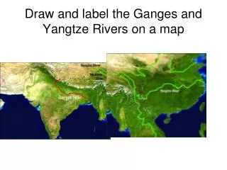
Hydraulics of the Ganges and Brahmaputra Rivers from space James Hamski
Background • Spatial and temporal variations in surface water discharge (Q) and storage (S) are poorly known in many parts of the world • Creates major unknowns in water cycle function, water resource issues, global climate change ramifications • Remote sensing compliments in-situ gauges
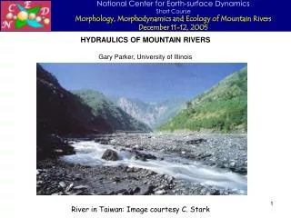
Estimating discharge from space • Prior attempts using SRTM DEMs to estimate discharge looked at single channel rivers (LeFavour & Alsdorf, 2005) • Braided river discharge estimation efforts have relied on relationship between in situ discharge and river width (Smith et. al. 1996)
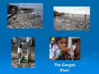
The Ganges & Brahmaputra Rivers • Water sharing issues • Rivers are both a vital resource and a severe threat to India and Bangladesh • Case study in a subtropical, braided river
Objective: Braided Rivers • Calculate water surface slope • Estimate discharge using water surface slope, channel width, depth and Manning’s roughness coefficient • Assess the practicality of using a satellite-based radar altimeter to measure water surface elevations of braided rivers • WATER HM satellite mission
Manning’s Equation ∂h ( ) 1/2 2/3 AR ∂x Q = n
Obtaining water surface elevations Land Classification Mask Digital Elevation Model Water Surface Elevations
Water surface slope • Polynomial fit to water surface elevations gives slope
Data Acquisition • DEMs downloaded from USGS database • Land Classification Mask • Tennessee Technical University • University of Mississippi Geoinformatics Center • Depth
Error Analysis • SRTM DEM • Height (Amazon data) σ = 5.58 m • Resolution = 90 m • Land classification mask • Resolution- 90 m or less • Manning’s Coefficient • Depth
Potential Pitfalls • Braided river flow complexity • Data acquisition • Land classification mask accuracy • Channel dynamics