Download
1 / 14
140 likes | 229 Views
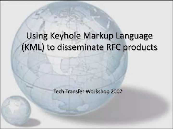
Using Keyhole Markup Language (KML) to disseminate RFC products. Tech Transfer Workshop 2007. Purpose- “poor man’s quick briefing tool”. Enabling Emergency Management and the public to utilize geospatial information without the overhead of GIS software and staff.

E N D
Using Keyhole Markup Language (KML) to disseminate RFC products Tech Transfer Workshop 2007
Purpose- “poor man’s quick briefing tool” • Enabling Emergency Management and the public to utilize geospatial information without the overhead of GIS software and staff. • Combines NWS specific geospatial information with common base layer data for quick, convenient visual analysis and interpretation in a common environment.
KMZ based on WFO level… How about a national or RFC scale? AHAPS forecast point status available…
Potential products for KML • Ridge radar… already available • Forecast point status (obs and fcst) demo • 24 hr precipitation (QPE and obs) demo • Other QPE (1hr, 6hr, storm total) • QPF (6hr, day 1-3, 4-5, 5day total, etc) • Flood Outlook Potential? • Any geospatial dataset generated by NWS?
Helpful base layers to provide • Hydrologic boundaries • Forecast group, basins, etc.dfd • County Warning Areas (CWAs) • Dam information? • Detailed Streams and Tributaries • Any geospatial dataset beneficial for interpreting or analyzing NWS data?
Data file structure/ mgmt • Kml file compressed as .kmz • Provided as “one-time” download • Static data set (client side) • Contains all base layer data sets • Contains dynamic data links to access NWS specific data sets • Dynamic data set (server side) • Uploaded automatically to server as data sets change
Beta test files for use… • http://www.srh.noaa.gov/wgrfc/kml/
A few KML resources… • User Forum • http://bbs.keyhole.com • Documentation and Tutorials • http://code.google.com/apis/kml/documentation/ • KML viewers • Google Earth • ArcExplorer • NASA Worldwind