Download
1 / 30
300 likes | 451 Views
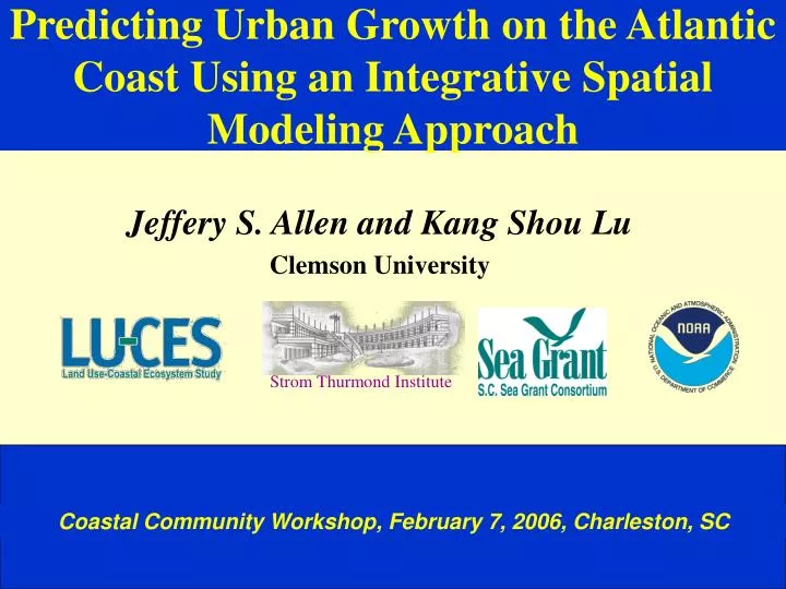
Predicting Urban Growth on the Atlantic Coast Using an Integrative Spatial Modeling Approach. Jeffery S. Allen and Kang Shou Lu Clemson University. Strom Thurmond Institute. Coastal Community Workshop, February 7, 2006, Charleston, SC.

E N D
Predicting Urban Growth on the Atlantic Coast Using an Integrative Spatial Modeling Approach Jeffery S. Allen and Kang Shou Lu Clemson University Strom Thurmond Institute Coastal Community Workshop, February 7, 2006, Charleston, SC
Population Change in South Carolina Coastal Counties from 1970 - 2000. County Population 1970 Population 1990 Population 2000 Beaufort 51,136 86,425 120,937 Berkeley 56,199 128,776 142,651 Charleston 247,650 295,039 309,969 Colleton 27,622 34,377 38,264 Dorchester 32,276 83,060 96,413 Georgetown 33,500 46,302 55,797 Horry 69,992 144,053 196,629 Jasper 11,885 15,487 20,678 South Carolina 2,590,713 3,486,703 4,012,012
> 800 400 - 800 200 - 400 100 - 200 0 - 100 Population density map for North Carolina, South Carolina, and Georgia # of People Per Square Mile* * 1999 population estimates by CACI International, Inc. based on 1990 US Census
Source: (London and Hill, 2000) -- USDA, US Census Bureau and Jim Self Center on the Future, Clemson University.
Number of Parcel Transactions Year Land (Parcel) Transaction in Murrells Inlet, 1908-1996 The total number of parcels is 4107 of which 618 parcels have no transaction date and were thus excluded from the above chart. Calculated using only the data for years with at least one parcel transaction. 30 of 73 years during 1908-1981 have no transaction at all.
Challenges Faced in Urban Land Use Modeling • Natural resources • Activity settings • Aesthetic sanities • Natural functions Geology Geomorphology Hydrology Climate Soil Vegetation Economic Social Cultural Physical Systems Human Systems Land Uses • Functions • Structures • Activities • Ownership • Use status • Availability • Suitability • Capacity • Sustainability Land Use Systems • Components or structures of the land use systems:simple vs. complex • Relationships between components, agents, factors, and processes: deterministic vs. indeterministic. • Changes over space (and time): ordered vs. random vs. chaotic • Spatial distribution or patterns: regularity vs. irregularity (fractal) Model vs. Reality
Urban Area Growth vs. Population Growth in the Charleston Area, 1973-1994 Growth Ratio (Sprawl Index) 256% = --------- =6.22 : 1 41% Population Growth by 41% Urban Area Growth by 256% Per Capita Urban Area Consumption (128%)
Mount Pleasant Analysis Units Murrells Inlet ---200x200 m2 grids (cells) for calibrating models ---30x30 m2 grids (cells) for prediction Parcel --smallest legal unit Part of Mount Pleasant Zone --area demarcated by the major roads Grid or Cell --square-shaped area
Examples of Predictor Variables Slope Population Density Cost Distance Previous Urban Wetland Water Lines Protected Land Roads
0 1 Urban-Land Transition Probabilities Urban Transition Probability Water
Urban 1973 Urban 1994 Urban 2030 Non-Urban 2030 Water Interstate Hwy Secondary Hwy Logistic Regression Prediction Focus Group Prediction Rule-Based Prediction Comparison of Predicted Results of Four Models Integrated GIS Prediction
Region-Level (COG) Growth Simulation BCD Region: Ratio 5:1
Resources at Risk by 2030 • Cultivated Agriculture - 57% • Freshwater Wetlands - 35% • Tidal Creeks - 41% • Cultural/Historic Sites - 57% • Archaeological Sites - 36%
Urban Growth Problems Uncontrolled growth - urban sprawl results in many problems such as: • Increased cost of living • Rising taxes and pressure on infrastructure and urban services • Traffic congestion and increased (travel) time • Environmental pollution/degradation • Loss of farm/forest land, habitats and rural (natural) landscape • Downtown declines and community segregation • Increased dependence on the automobile • Loss of sense of place - undifferentiated landscape
Benefits of Urban Growth • Increased standard of living • Generation of wealth • Increase in amenities • Production of affordable housing • Increase in tax base • New business opportunities • New job opportunities • Increased “freedom” with the automobile • It is what we desire - “Freedom of Choice”
What do we do now? • Growth is coming whether we want it or not • Determine where we do not want to grow • Increase communication among SPD’s, etc. • Be inclusive in planning • Provide incentives for growth in “growth areas” • Provide “dis-incentives” for areas to protect • Make users pay the freight for new growth • It is always easier said than done!!!