Download
1 / 7
70 likes | 211 Views
Presenting NLCD2001 Impervious Cover Information for DWMA Analytical Source Protection Areas (SPAs). William Cooter sid@rti.org December 2009. Impervious cover – an indicator of human alterations of natural hydrological processes.

E N D
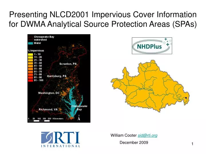
Presenting NLCD2001 Impervious Cover Information for DWMA Analytical Source Protection Areas (SPAs) William Cooter sid@rti.org December 2009
Impervious cover – an indicator of human alterations of natural hydrological processes The 2001 National Land Cover Data (NLCD 2001) provides a special percent impervious cover GIS raster layer for the CONUS, Hawaii, the Caribbean, and portions of Alaska. http://www.epa.gov/mrlc/nlcd-2001.html Impervious surfaces are mainly artificial structures--such as pavements (roads, sidewalks, driveways and parking lots) that are covered by impenetrable materials such as asphalt, concrete, brick, and stone--and rooftops. Soils compacted by urban development are also highly impervious. For smaller polygon areas (such as the DWMA SPAs), average polygon percent impervious levels less than around 5% suggest relatively natural water runoff and ground water infiltration patterns. Levels above around 12% reflect degrees of land cover alteration that will interrupt normal hydrological processes. Impervious levels above around 20% suggest substantial alterations through land development of natural hydrological processes. Analytical SPAs have been developed for 229,345 groundwater facilities and for 9,944 surface water facilities.
Impervious Cover Patterns for Surface and Ground Water SPAs in the Great Lakes Area
Presenting NLCD2001 Impervious Cover Information for DWMA Analytical Source Protection Areas (SPAs) William Cooter sid@rti.org December 2009