Download
1 / 25
250 likes | 255 Views
Explore the peopling, demography, and socio-cultural regions of India, from the Stone Age to urban civilization and the advent of the Aryans. Learn about the shifts in hunting and agriculture, the rise and decline of the Indus Valley Civilization, and the impact of environmental factors on human migration and settlement. Gain insights into India's diverse culture and its implications for business opportunities.

E N D
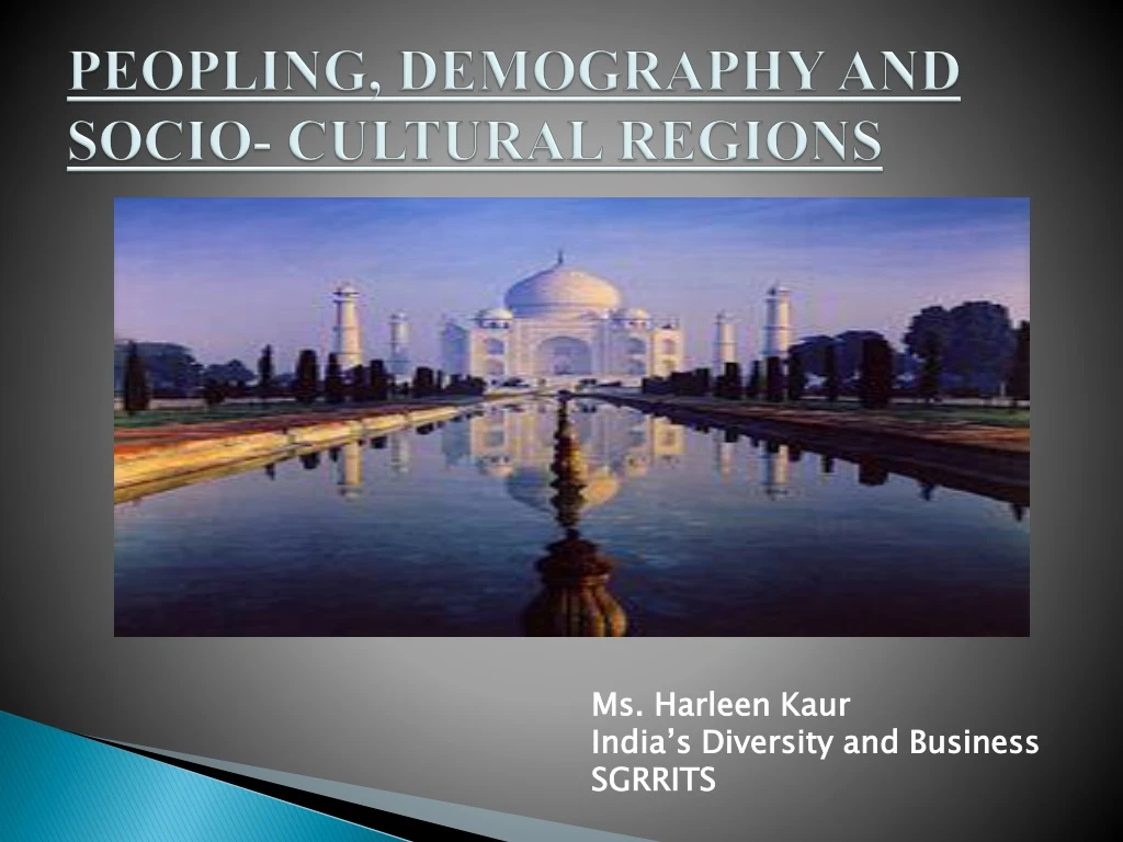
PEOPLING, DEMOGRAPHY AND SOCIO- CULTURAL REGIONS Ms. HarleenKaur India’s Diversity and Business SGRRITS
STONE AGE TIME…… • Hunter-gatherers depended very much on the natural resources. • The nature offered them various kinds of edible items like roots, fruits, honey as well as animals, birds and fish, which could be killed for food. • The Palaeolithic, Mesolithic and Neolithic tools reflects the techniques employed to exploit the nature according to the needs. • Rise in temperature and the climate became warm and dry in the Mesolithic phase.
STONE AGE TIME…… • There was a shift in the pattern of hunting from big animals to small animals and to fishing and fowling due to change in climatic conditions. • Small tools known as the ‘microliths’ were used. • This climatic change affected human life and brought about changes in fauna and flora. • In Neolithic period the human communities started producing their own food by cultivating cereals like barley, wheat and rice, and started domesticating animals such as cattle, sheep and goats for milk and meat.
STONE AGE TIME…… • Climatic changes at the time of the withdrawal of glaciers around 8000 B.C. led to the reduction in the forest cover, thus, leading to a food crisis. • This led to the beginning of agriculture, village settlements and animals husbandry in the Indian subcontinent. Moreover, new types of tools (neoliths). • The earliest evidence of this comes from Mehrgarh in the Baluchistan region of Pakistan, around 6000 B.C. • Stone age sites in India are mostly found in the hilly regions or the areas drained by the rivers.
URBAN CIVILIZATION…… • The middle of the third millennium B.C. saw the rise of an urban civilization also called Indusor Harappan Civilization (c. 2550-1990 B.C.) • It was widespread covering a large area of over 1,000,000 k.m2, majority of the sites are located in the Indus and Ghaggar-Hakra (Saraswati) region or a dry riverrine system. • Main geographical features include the lower Indus Valley, Sindh, and Panjab(now in Pakistan) with four principal tributaries to the Indus namely-the Jhelum, Chenab, Ravi, and Sutlej rivers. • To the west of the Indus basin is the eastern edge of the great Iranian plateau and the Hindukush.
URBAN CIVILIZATION…… • Today this area is known as Baluchistan and the Northwest Frontier of Pakistan. • To the east are the Indian Panjab, Haryana, northern Rajasthan, and the Ganga-Yamuna doab of Uttar Pradesh. • To the southeast is Gujarat, which comprises of diverse regions from the wasteland of the Rann of Kutch, the pasture and dry farming areas of the Saurashtra peninsula, the sandy plains of North Gujarat to the wet coastal area of South Gujarat. • This region is known for the maritime trade since ancient period.
URBAN CIVILIZATION…… • The black soil of this region, with its dry cropping properties, facilitates the cultivation of cotton. The millets such as jawar, bajra and ragiare grown during the monsoon season. • Different suggestions were given regarding the climatic conditons and rainfall and the lakes and other water bodies in Rajasthan dried up. • This suggests greater aridity towards the end of the Harappan phase of the Indus Valley tradition. • Ghaggar-Hakra system dried up in later periods. • The Indus river also changed its course. The investigations in the course of the Indus river in the third millennium B.C. suggest that the course of this river then was to the west of Mohenjo-daro. But today it flows to the east of the city.
URBAN CIVILIZATION…… • The volume of water carried by the Indus in those days would have been more as today it is distributed through canals and other man made structures. • The river plains nurtured the first urban civilization of the subcontinent. • The fertile soil benefited for the cultivation of crops • The ports on the West Coast helped the Harappans to trade with distant lands like Mesopotamia and regions of Persian Gulf. • Overutilisation of resources led to the collapse of civilization. • The river Sutlej advanced towards the western direction to join the Indus and the Yamuna eastwards to join the Ganges.
URBAN CIVILIZATION…… • The sense of ecology is well reflected by the Harappan seals which bear the impressions of trees like peepal (Ficusreligiosa), and animals like rhinos, tiger, elephant, deer etc. • The changes in environment and shifting of the course of rivers, in some instances, led to the migration of population to other regions • The cutting of trees, in some instances, helped in the creation of cultivable lands. This further led to the emergence of large settlements which subsisted on agriculture.
THE ADVENT OF ARYANS…… • The advent of the Aryans to the subcontinent too is linked with the environmental factors. • There was a very cold and dry climate in Central Asia during the 3rd -2nd millennium B.C. • As a result, the people from southern Central Asia, in around 1500 B.C. advanced in the direction of Indian subcontinent in search of a warmer region or a lesser cold region. • The Vedic culture originated in the western region including Panjab and developed in the western Gangetic valley. • The shift of the settlements from the earlier Indus Valley region to the eastward was also related to the environmental set up. • In the western region with lesser amount of rainfall, it was possible to clear the forest with stone or bronze implements
THE ADVENT OF ARYANS…… • Iron was introduced in India by about 1000 B.C. • The exploitation of natural resources first began in the western region with lesser rainfall and not so thick vegetation when compared with the eastern regions. • The Vedic people worshipped plants like soma and deities such as Indra (associated with rain and thunder), Varuna (with water), Agni (with fire), Pusan (with cattle), etc. • In the Rig Veda, the river Saraswatiis referred to as a goddess. The agro-pastoral communities of the Vedic age also had immense use of cattle and hence worshipped deities for the protection of their cattle wealth.
POST VEDIC CULTURE…… • The post-Vedic cultures flourished in the mid-Gangetic valley and further. • One of the important factor for this was their dependence on the use of iron. • The settled agrarian life led to the emergence of the idea of territory and territorial kingdoms in the Vedic period. • By the 6th c. B.C. the process of the emergence of janapadastended to accelerate. • The incorporation of smaller janapadas gave rise to the mahajanapadas. Of the 16 mahajanapadas, Magadha emerged as the most powerful.
POST VEDIC CULTURE…… • The geographical location of Magadha and its capitals, first at Rajgir and later at Pataliputra, was favourable in many ways. • Rajgirwas surrounded by five hills and was called girivraj. This physical feature provided security from the enemies. In the 5th c. B.C. the capital was shifted to Patliputra, which was located on the confluence of the three rivers-the Ganges, the Gandaki. • Surrounded by the rivers on different sides, Pataliaputra was like a water –fort (jaladurga). In those days it was not easy to capture Patliputra.
POST VEDIC CULTURE…… • The alluvium carried by these rivers created fertile agricultural belt. • Moreover, due to the heavy rain in this region and the forests having been cleared, the crops could be grown without much irrigation facilities. • The rich deposits of iron ore were not very far from the first capital Rajgir. • Thus, the Magadhan rulers could make the effective iron weapons available to their armies, which except Avanti, were not easily accessible to their enemies. • That is why, it took about 100 years for Magadh to capture Ujjain, the capital of Avanti. The rivers were important means of communication and trade. • Even the Magadhan army could move in all directions following the river.
IN THIS AGE OF GAUTAM BUDDHA (6TH – 5TH C. B.C.) • The concept of ahimsa (non-violence) in Buddhism and Jainism. • They criticized the killing of animals in sacrificial rituals. • In the 1st c. A.D. the Brahmanical literature also considered the killing of the cows as a sin and warned the killer of its serious ill consequences. • These literary works also mention about the medicinal values of trees and plants such as neem (margo),peepal, banyan, tulsi (basil), etc. and advocate for their protection.
IN THIS AGE OF GAUTAM BUDDHA (6TH – 5TH C. B.C.) • The mountain passes in the north-west provided passage to the various important groups such as the Iranians and Macedonians. • The Khyber pass was the most important in this regard. • In 326 B.C. Alexander of Macedonia (Greece) invaded India. After his conquest of Iran, he moved on to Kabul and marched to India through the Khyber pass. • As a result of this, there developed cultural and commercial contacts between the merchants and craftsmen of both regions.
THE MAURYANS EMPIRE…. • The Mauryan empire also benefited from its geographical spread and strategic location of Pataliputra. • The Mauryan rulers established an elaborate system of administration with a large number of officials • The Mauryan state was keenly interested in expanding the frontiers of cultivated tracts further, for example, by colonizing Kalinga • The Mauryans also carted for ecological conservation. • The best-known ancient state-sponsored conservation campaign was undertaken by emperor Ashokaafter his conversion to Buddhism.
THE MAURYANS EMPIRE…. • The Mauryas were succeeded by the Satavahanasin the Deccan. • The Satavahanas probably exploited the iron ores of Karimnagar and Warangal areas, which were being exploited since the megalithic phase. • So, the Satavahanas could produce iron implements suitable for growth of agriculture. • The Satavahanas and the Ikshvakus, who succeeded the Satavahanas, in the early 3rd c. A.D. in the eastern Deccan, exploited the mineral resources of the Deccan. • The availability of Lead in Andhra region helped in the circulation of lead coins during the Satavahana rule.
POST MAURYAN PERIOD…. • The thriving internal and external trade facilitated developments in this period. • The ports on the east as well as west coasts promoted the growth of trading activities. • The important ports on the west coast included Bharuch (Broach), Sopara, Kalyan, Chaul, Muziris, etc. and those on the east coast were Tamralipti, Salihundham, Kottapatnam, Arikamedu, Kaveripattinam, etc • The coastal towns, the growing crafts and commerce promoted the prosperity of numerous inland centres such as Vaishali, Pataliputra, Varanasi, Kaushambi, Mathura, etc. in north India; • Paithan, Dhanyakataka, Amaravati, Nagarjunakonda, etc. in Deccan, and Madurai, Uraiyur, Kanchipuram, Karur, etc. in the far south. • Thus, the coastal regions had a significant role in shaping the history and culture of the people.
THE GUPTA EMPIRE…. • The Gupta empire was established in the beginning of the 4th c. A.D. The geographical factors also played a crucial role in the material developments during their rule. • The centre of their operations lay in the fertile land of the modern states of Bihar and Uttar Pradesh. • They also enjoyed the advantage of possessing the mid-Gangetic basin under their control. • Magadha region, being a part of their empire, provided all the benefits either in the form of iron ore deposits or other natural resources as in the earlier stages of history.
THE GUPTA EMPIRE…. • In the 7th c. A.D the Vardhanas, a feudatory of the Guptas, established their supremacy over other feudatories. • This was all due to the efforts of the great Harshavardhana (A.D 606-647) who made Kannauj his capital. • Kannauj, which is situated in Farrukhabad district of modern Uttar Pradesh, was located in the middle of the Ganga-Yamuna doab. • Moreover, it was situated on an elevated area which was easily fortifiable as compared to those in plains where fortification was more difficult. Thus, the soldiers could move by both land and water routes to exercise control over the eastern and western regions.
EASTERN AND SOUTHERN INDIA…. • In eastern India the regions of Orissa, Bengal and Assam also witnessed developments. A strong state under the ruler Kharavela was founded in the 1st B.C. in coastal Orissa or Kalinga. • The coastal region and the delta of the river Mahanadi promoted cultural developments. in the region from where it spread to other regions. • Orissa, gifted with many coastal ports, also maintained maritime trade with Southeast Asia in ancient period. To revive the glory of the maritime activities of ancient Kalingans, in 1992 Kalinga-Bali yatra was organized by the Department of Tourism, Orissa and Government of India. • The Bali Yatra Festival is still celebrated in Orissa on the KartikPurnima Day.
EASTERN AND SOUTHERN INDIA…. • The deltaic portion of Bengal formed by the river Brahmaputra was called Samata. • This region was populated and attracted the attention of Samudragupta. • Cultural contacts with the Gupta empire stimulated the spread of civilization in this region. • The economy based on iron ploughshare, agriculture, and knowledge of various crafts was bound to prosper. • Production of good quality sugarcane in north Bengal. • This resulted in sufficient agricultural production, which was able to sustain both people and government.
MEGALITHIC PHASE…. • The megalithic phase is a unique feature in the history of peninsular India. • This was characterized by the use of iron. Though the megaliths have been discovered in various regions of southern India, their concentration is in eastern Andhra region and in Tamilnadu. • Their origin can be traced to c. 1000 B.C. • The megalithic people depended partly for settlements and burials, on the hill-slopes. • Although they were aware of the use of iron and to produce crops, the use of cultivable land by them was very limited. • They did not settle on the plains or the low lands due to the thick forest cover. • So, the elevated regions provided shelter to the megalithic communities.
MEGALITHIC PHASE…. • Later in around the beginning of the Christian era or a little earlier the megalithic people moved from the uplands into the fertile river basins and reclaimed marshy deltaic areas suitable for cultivation. • This was due to their coming into contact with the traders, Jains, Buddhists and Brahmanaswho came from the north. • In the context of the Tamil region known as Tamilakam or Tamilaham, the spread of iron technology led to the formation of chiefdoms which later evolved into states. • The fertile Kaveri delta was advantageous for the cultivation of rice. • Natural resources like the spices from various parts were in great demand by the foreigners. This promoted trade with the distant lands. • The ports on the West Coast had been trading with the Roman empire since earlier period.