Download
1 / 20
310 likes | 647 Views
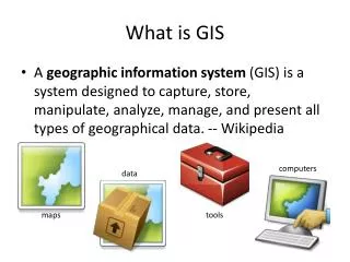
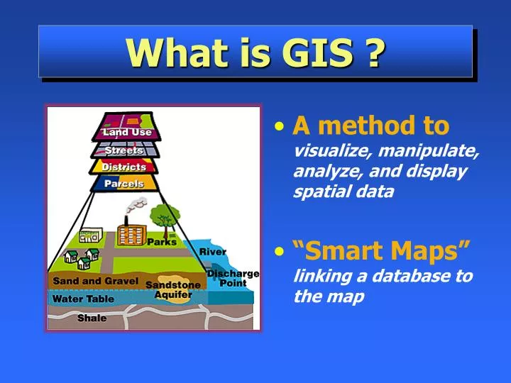
What is GIS ?. A method to visualize, manipulate, analyze, and display spatial data “Smart Maps” linking a database to the map. Database “ Not Easy to Interpret”. Visualization “Worth a Thousand Words”. Two Ways to Input and Visualize Data The World in GIS. Raster – Grid “pixels”

E N D
What is GIS ? • A method tovisualize, manipulate, analyze, and display spatial data • “Smart Maps”linking a database to the map
Two Ways to Input and Visualize DataThe World in GIS • Raster–Grid • “pixels” • a location and value • Satellite images and aerial photos are already in this format • Vector–Linear • Points, lines & polygons • “Features” (house, lake, etc.) • Attributes • size, type, length, etc. Real world
Data For GIS Applications • Digitized and Scanned Maps • purchased, donated, free (Internet) • created by user • Data Bases– Tables of data • GPS– Global Positioning System • accurate locations • Field Sampling of Attributes • Remote Sensing & Aerial Photography
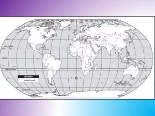
Five Data Layers “Alike” Features Rivers Capitals Roads States Lakes
Turning Data Into Information “Spatial Analysis”– not just a map
Some Ways GIS is Used • Emergency Services– Fire & Police • Environmental–Monitoring & Modeling • Business– Site Location, Delivery Systems • Industry– Transportation, Communication, Mining, Pipelines, Healthcare • Government– Local, State, Federal, Military • Education– Research, Teaching Tool, Administration Wherever Spatial Data Analysis is Needed


![Making maps, many maps! [What is GIS?]](https://cdn0.slideserve.com/829117/making-maps-many-maps-what-is-gis-dt.jpg)