Download
1 / 30
310 likes | 498 Views
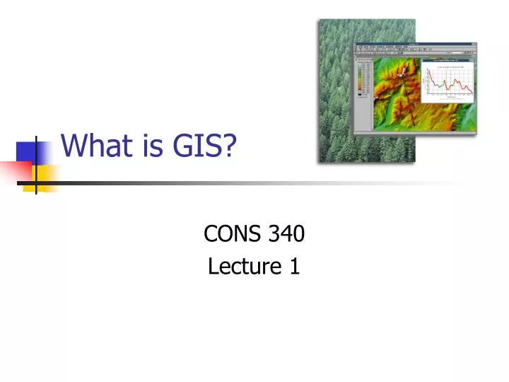
What is GIS?. CONS 340 Lecture 1. Course Organization. Lectures. Labs. Abstract concepts Goals Understand basic concepts of GIS design Database Development Cartographic Modeling Prepared for future coursework. Application Goals Introduction, not GIS proficiency

E N D
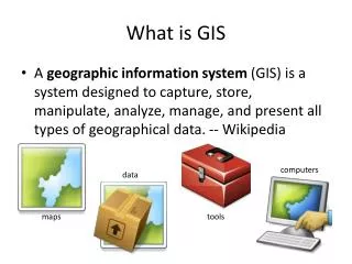
What is GIS? CONS 340 Lecture 1
Course Organization Lectures Labs • Abstract concepts • Goals • Understand basic concepts of • GIS design • Database Development • Cartographic Modeling • Prepared for future coursework • Application • Goals • Introduction, not GIS proficiency • Application of broader issues in lecture, through the software • Software utilized • ArcGIS 10.1 • ArcCatalog • ArcMap • ArcScene • ArcGlobe
Evaluation Two exams • Final Exam is cumulative but emphasizes the last half of class • Lab Attendance is mandatory! • Don’t fall behind – we have a lot of ground to cover
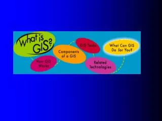
Today’s Learning Objectives • By the end of today’s class you should be able to: • Accept that GIS data is NOT reality • Explain the five components of a GIS • List the three main components of geographic data • Summarize what a GIS should be able to do
GIS is really about how we conceive spatial information • Cognitive mapping • How do we make sense of our world • Two tracks in the brain • What vs. Where
This include concepts as well enroll in Students Courses have consist of Programs
+ Cholera death Water pump GIS concepts are not new! In the London Cholera epidemic of 1854 Dr. John Snow was able to locate the source of a cholera outbreak by plotting the locations of fatal cases in relationship to nearby wells.
The five components of GIS • People • Data • Hardware • Software • Procedures www.esri.com
People • BusinessBanking and InsuranceMediaReal EstateRetail and Commercial Business • CommunicationsLocation ServicesTelecommunications • Defense and Intelligence • EducatorsUniversities and CollegesK-12, Primary and SecondaryLibraries and Museums • EngineeringPipelineSurveying • Environmental ManagementArchaeologyCave and Karst • GovernmentFederal GovernmentHomeland SecurityLaw EnforcementPublic SafetyLocal Government • Health and Human Services • Natural ResourcesAgricultureESRI Conservation ProgramForestryMarine and CoastMining and Earth SciencesPetroleum • Sustainable Development and Humanitarian Affairs • Transportation • UtilitiesElectric and GasWater/Wastewater
Hardware & Software Hardware Software
Procedures • GIS analysis requires well-defined, consistent methods to produce correct and reproducible results. • We will spend much of this course learning procedures
Data • This is by far the most important aspect of GIS • Without data we can’t do anything! • Approximate time breakdown of most GIS projects: • 80% = Database development • 10% = Data analysis • 10% = Cartographic production
The five components of GIS www.esri.com
There are three main components to geographic data: www.esri.com
GIS data is organized in Layers www.esri.com
What can a GIS do? • A GIS should be able to: • Capture data • Store data • Query data • Analyze data • Display data • Output data
Capturing Data • Digitizing • Heads up • Tablet • Scanning • Tabular • GPS • Downloading
Querying Data • SELECT CntryName, PopCntry • FROM Countries • WHERE Landlocked=No • ORDER BY CntryName
Analyzing Data • Proximity • Overlay • Etc.
Displaying Data • Graphs • Charts • Tables • Maps • Etc.
Outputting Data • Sharing the results of your geographic labor is one of the primary justifications for spending resources on a GIS.


![Making maps, many maps! [What is GIS?]](https://cdn0.slideserve.com/829117/making-maps-many-maps-what-is-gis-dt.jpg)