Download
1 / 10
110 likes | 137 Views
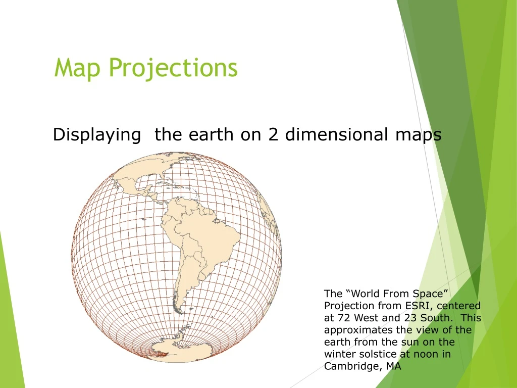
Map Projections. Displaying the earth on 2 dimensional maps. The “World From Space” Projection from ESRI, centered at 72 West and 23 South. This approximates the view of the earth from the sun on the winter solstice at noon in Cambridge, MA. Map projections …. Another classification system.

E N D
Map Projections Displaying the earth on 2 dimensional maps The “World From Space” Projection from ESRI, centered at 72 West and 23 South. This approximates the view of the earth from the sun on the winter solstice at noon in Cambridge, MA
Another classification system By the geometric surface that the sphere is projected on: • Planar • Cylindrical • Conic
Planar surface Earth intersects the plane on a small circle. All points on circle have no scale distortion.
Cylindrical surface Earth intersects the cylinder on two small circles. All points along both circles have no scale distortion.
Conic surface Earth intersects the cone at two circles. all points along both circles have no scale distortion.
Why project data? • Data often comes in geographic, or spherical coordinates (latitude and longitude) and can’t be used for area calculations in most GIS software applications • Some projections work better for different parts of the globe giving more accurate calculations