Download
1 / 13
130 likes | 354 Views
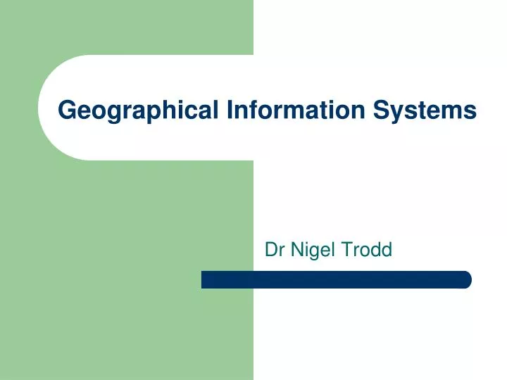
Geographical Information Systems. Dr Nigel Trodd. Your aim is. to understand the main features of GIS. You will be able to. identify technologies for handling geospatial data recognise GIS functions assess the relationship between GIS & other geospatial technologies. What is. GIS?.

E N D
Geographical Information Systems Dr Nigel Trodd
Your aim is • to understand the main features of GIS You will be able to • identify technologies for handling geospatial data • recognise GIS functions • assess the relationship between GIS & other geospatial technologies
What is GIS?
a GIS is... a system to capture, store, check, integrate, manipulate, analyse and display data which are spatially referenced to the Earth. DoE 1987
a GIS is NOT a GIS if it lacks tools to.... • capture • store • check • integrate • manipulate • analyse • display …spatially referenced data
times are changing... ArcGIS Desktop ArcGIS Explorer ArcGIS Online ArcPad ArcGIS for: Windows Mobile Blackberry (Freeance) iOS ArcGIS Server ESRI products ESRI products 1982-2004
…some things never change • ALL GIS store, check & integrate geospatial data • spatial referencing system • Topology • ALL GIS manipulate & analyse geospatial data • Query • spatial operations • ALL GIS display geospatial data • select layers • pan, zoom
Bibliography • Clark MJ, 1992. The GIS Survival Guide, GeoData Institute, Southampton. • Cowan DJ, 1988. GIS versus CAD versus DBMS. What are the differences ? Photogrammetric Engineering and Remote Sensing, November. • Department of the Environment, 1987. Handling Geographic Information. Report of the Committee of Enquiry chaired by Lord Chorley. HMSO, London. • Ehlers M et al., 1987. Integration of remote sensing with GIS: a necessary evolution. Photogrammetric Engineering and Remote Sensing, 55, 1619-27. • Longley PA, Goodchild, MF, Maguire, DJ & Rhind DW (eds.), 1999. Geographical Information Systems: Principles, Techniques, Management and Applications. New York: Wiley. • Maguire DJ, 1991. An overview and definition of GIS. In Maguire DJ, Goodchild MF & Rhind DW (eds.) GIS: Principles and Applications. Longman: London, 9-20 • Wright DJ, Goodchild MF & Proctor JD, 1997. Demystifying the persistent ambiguity of GIS as 'tool' versus 'science‘, Annals of the Association of American Geographers, 87, 346-362. http://dusk.geo.orst.edu/annals.html