Download
1 / 10
100 likes | 247 Views
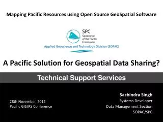
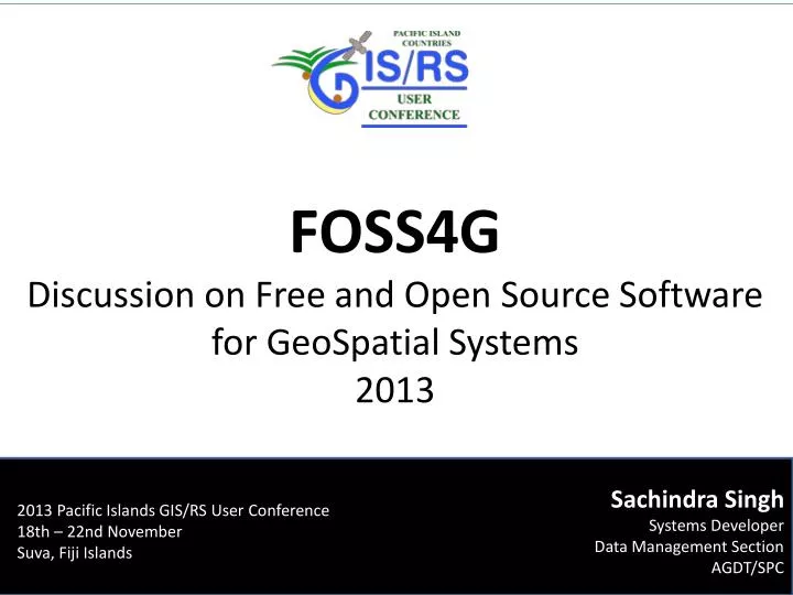
FOSS4G Discussion on Free and Open Source Software f or GeoSpatial Systems 2013. 2013 Pacific Islands GIS/RS User Conference 18th – 22nd November Suva, Fiji Islands. Sachindra Singh Systems Developer Data Management Section AGDT/SPC. SOPAC and FOSS.

E N D
FOSS4G Discussion on Free and Open Source Software for GeoSpatial Systems 2013 2013 Pacific Islands GIS/RS User Conference 18th – 22nd November Suva, Fiji Islands Sachindra Singh Systems Developer Data Management Section AGDT/SPC
SOPAC and FOSS 1994- SOPAC adopted cc:Mail and SunOS – one of the first regional organization to have an electronic communication system in the Pacific region 1994 - SOPAC was one of the founding members of PICISOC (Internet Society Charter for Pacific Islands) 1996 - USP [The University of the South Pacific] and SOPAC were the first to connect to the Internet in the South Pacific. SOPAC also offered subsidized internet access to government organisations during this period. 2000 - SOPAC migrated fully to open source services such email systems, GNU/Linux file shares, BIND, etc. 2002 - SOPAC adopted open source tiki-wiki as a web presence and collaboration platform 2004 - MapServer deployment to 14 Pacific Island Countries as part of a EU/EDF 2006 - SOPAC adopted open source online library systems (Koha) and e-learning platforms (Moodle) 2007 - OIP Geonetwork metadata service deployed 2009 - Joomla CMS website launched 2011 - PCRAFI Pacific Risk Information System Launched - on Geonode platform 2011 - SOPAC Compendium Project launched - Digitial collection of all output from SOPAC/CCOP from 1972 to 2010 2012 - SOPAC Geonode SDI adopted across the division programmes/projects 2013 - PacGeoInitiative started - Regional Geospatial Open Data Repository Applied GeoScience and Technology Division, Secretariat of the Pacific Community
Why FOSS? • Usually has no upfront payment • Has a low Total Cost of Ownership (and high ROI) • Encourages a competitive market for support services. • Encourages a collaborative approach. • Places fewer restrictions on the users of the software. • Provides the opportunity for users to take direct control of the maintenance and support of the software. • Allows the opportunity to try the software before committing to it. • May reduce vendor lock-in. • Allows users to view and modify the source code. • Allows users to take advantage of the improved functionality of new releases more rapidly. • Increases interoperability. • Usually is modular • Source: A Guide to Open Source Software for Australian Government Agencies, June 2011, Department of Finance and Deregulation Applied GeoScience and Technology Division, Secretariat of the Pacific Community
Why SOPAC? 2011 and 2012 Member Countries Recommendation for SOPAC division adopted by SPC Governing Council (CRGA) “44. Strongly recommend that the SOPAC Division continues to prioritise, support, maintain and extend its existing open source analysis and data management tools and systems for partners and island members; and provide appropriate advocacy and support to island members in using open source technologies for ICT systems development.” Applied GeoScience and Technology Division, Secretariat of the Pacific Community
Capacity Building and Training QGIS desktop training held by SOPAC/SPC over the last year: Applied GeoScience and Technology Division, Secretariat of the Pacific Community
Enterprise GIS On Premises/Cloud Geonode SDI has 1:1 feature parity with other server-side alternatives. Applied GeoScience and Technology Division, Secretariat of the Pacific Community
Desktop - QGIS Matured significantly through 1.8 – 2.0 Release. Suitable for non-advanced usage. Example: Semi-automatic Image Classification Plugin – supervised classification of remote sensing images, providing tools to expedite the creation of ROIs, the classification process, and the post processing phases (accuracy assessment, land cover change) Applied GeoScience and Technology Division, Secretariat of the Pacific Community
Partners and Support Applied GeoScience and Technology Division, Secretariat of the Pacific Community
Awareness & Education http://ict.sopac.org/gisos Custom built Linux distribution for the Pacific containing all FOSS components SOPAC/SPC uses and trains on Live CD Side-by-side Installation VirtualBox (for running on top of your current operating system) Launched in 2011 5th Version 2013 1000~ Downloads Applied GeoScience and Technology Division, Secretariat of the Pacific Community
Suggested Recommendation To strengthen cost-effective adoption of GIS in the Pacific as widely as possible, and to counter commercial GIS software privacy, it is encouraged that open source geospatial systems should be explored in depth and adopted after careful analysis and study, and if found suited to the immediate requirements. Applied GeoScience and Technology Division, Secretariat of the Pacific Community