Download
1 / 21
210 likes | 369 Views
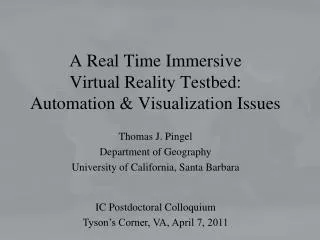
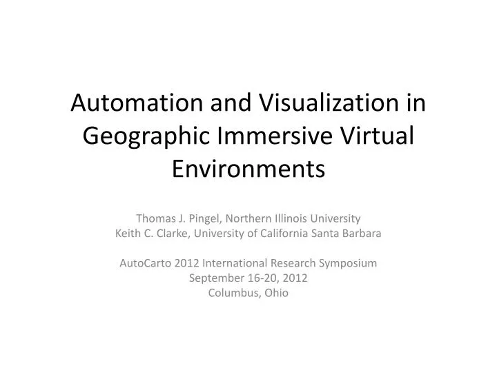
Automation and Visualization in Geographic Immersive Virtual Environments. Thomas J. Pingel , Northern Illinois University Keith C. Clarke, University of California Santa Barbara AutoCarto 2012 International Research Symposium September 16-20, 2012 Columbus, Ohio.

E N D
Automation and Visualization in Geographic Immersive Virtual Environments Thomas J. Pingel, Northern Illinois University Keith C. Clarke, University of California Santa Barbara AutoCarto 2012 International Research Symposium September 16-20, 2012 Columbus, Ohio
Central Research Question: How can we, in an automatable way, produce an immersive geographic virtual environment that will assist in the interpretation, analysis, and understanding of specific, local events?
Outline • Project overview • Code base • Terrain generation from LiDAR • Acquisition for of audio and video for model overlay
Immersive Geographic Virtual Environments • Immersive: “any virtual reality representation in which the user views her or her environment from a perspective view, and can freely move around in that environment” • Multiple Psychologies of Space (Montello, 1993) • Figural , Vista, Environmental, Geographical • Representing Environmental (or Geographical) spaces as Figural (or Vista) Objects while retaining some of the cognitive elements of each. • Emphasis on representing places in a model that can both be manipulated as an object or experienced as a place.
Related Work • Google’s Earth and Street View • Microsoft & Apple • No ability to alter the terrain • Universality • Virtual Tübingen • Designed for spatial cognition testing • 200 structures, .5 x .15 km • Our study area • 3.25 x 1.6 km • ~2000 structures Image from Virtual Tübingen
Video Game Community • Immense budgets and revenues • $65 billion annually • Many perspectives • First Person Shooters • World of Warcraft • But few environment & object perspectives • Highly structured environments
Code Base – X3D • XML successor to VRML (and GeoVRML) • Native Geo support • Native video texturing and spatialized audio • Royalty free • Browsers can typically read other 3D formats (e.g., COLLADA) • Good input device integration • Space M ouse • Microsoft Kinect • Wiimotes
X3D DevelopmentAvalon & X3DOM • Integration of next-gen specs in Avalon • Instantreality.org • Integration with HTML5 with X3DOM • X3dom.org • Full rendering within browser • No-add ins required
Terrain generation • LiDAR • Cheap • Highly accurate • Portable • But needs processing • Assumption of little available geodata • Ground cues can be very valuable in street network ID
Terrain Extraction is Important Davidson Library sits approximately 6 meters above the ground due to a terrain layer error.
Terrain Extraction: The Simple Morphological Filter (SMRF) • Emphasizes reducing Earth-as-Object error • Still very good at reducing Object-as-Earth error • Lowest total error rate of any published algorithm tested against ISPRS dataset • tpingel.org/code
LiDAR Visualization (Bonemaps) • Image-like visualization of Digital Surface Model • No registration errors • Slope-based intensity mapping, w/ compensation for “cognitive slope” • Higher contrast than hillshade • Appropriate for mixed environments
SMRF + Bonemaps at El Pilar, Guatemala Digital Surface Model
SMRF + Bonemaps at El Pilar, Guatemala SMRF-derived terrain layer
Video Overlay • Aerostat-based video capture • Smartphone capture and relay • Native video texturing in X3D
Acknowledgements • IC Postdoc for funding the project. • Alan Glennon and Kitty Courier for kite photography expertise. • William McBride for SRMF algorithm development and aerostat design.