Download
1 / 6
60 likes | 164 Views
GEO 5159 GIS Applications in Environmental Systems. Seminar 3: Question, Models, Data, Download, Learning. Procedure. Question/Problem Identify existing models and read the documentation Do they meet requirements of the question? Yes: proceed to 2.2 No: Prepare to create your own model

E N D
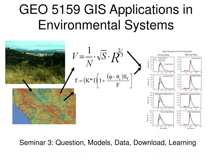
GEO 5159 GIS Applications in Environmental Systems Seminar 3: Question, Models, Data, Download, Learning
Procedure • Question/Problem • Identify existing models and read the documentation • Do they meet requirements of the question? • Yes: proceed to 2.2 • No: Prepare to create your own model • Are data available to run the model? • Yes: proceed to 3.0 • No: can information be modeled? • Yes: find models, recursion to 2.0 • No: ??? Continued
Procedure • Download the model • Download the data • Implement the model - preliminary • Example data and model runs available? • Yes: implement with provided material • No: create simplest possible datasets to run model • Compile from source code? Must have development environment software (VisualBasic, C, C++, Fortran, Python, etc.) • Run test cases on provided or simplest datasets - debug
Procedure 7. Implement the model – Functional • Run the model on real data. • Compare output with real world • Calibrate the model by “tweaking” calibration variables (these are subjective – which are the most uncertain?). 8. Sensitivity analysis • Which variables are most important (contribute most to variance in the output)? • Vary single variable over some range, collect output.
Procedure 9. Implement the model 2 – Experimental • Vary conditions according to scenarios • Collect output • Analyze in absolute and relative terms 8. Report the results: 1. What are the specifications of the model and its parameters? Repeatable! 2. What are the answers to the questions?
Some Interesting Web Sites • Server for Ecological Modeling http://www.wiz.uni-kassel.de/ecobas.html • Spatial Modeling Environment http://www.uvm.edu/giee/SME3/ • SERDP Ecological Models and Land-use Decisions http://www.esd.ornl.gov/programs/SERDP/EcoModels/index.html • Everglades Landscape Model https://my.sfwmd.gov/portal/page?_pageid=1314,2590324,1314_2555986:1314_2556170&_dad=portal&_schema=PORTAL&navpage=elm2 • Land Transformation Model http://ltm.agriculture.purdue.edu/ltm.htm