Download
1 / 61
610 likes | 762 Views
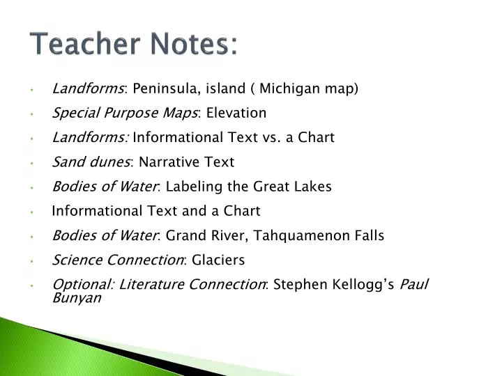
Teacher Notes:. Landforms : Peninsula, island ( Michigan map) Special Purpose Maps : Elevation Landforms: Informational Text vs. a Chart Sand dunes : Narrative Text Bodies of Water : Labeling the Great Lakes Informational Text and a Chart Bodies of Water : Grand River, Tahquamenon Falls

E N D
Teacher Notes: • Landforms: Peninsula, island ( Michigan map) • Special Purpose Maps: Elevation • Landforms: Informational Text vs. a Chart • Sand dunes: Narrative Text • Bodies of Water: Labeling the Great Lakes • Informational Text and a Chart • Bodies of Water: Grand River, Tahquamenon Falls • Science Connection: Glaciers • Optional: Literature Connection: Stephen Kellogg’s Paul Bunyan
Michigan’s Natural Characteristics: Landforms and Bodies of Water Unit One: Lesson Three
The BIG Ideas • To study a place geographers ask the question: What is the place like? • To answer that question geographers study the natural (physical) characteristics of the place. • Natural (physical) characteristics include landforms, bodies of water, vegetation and climate. • Special purpose maps can be used to learn about these natural (physical) characteristics. • Important landforms of Michigan include peninsulas, islands, mountain ranges and sand dunes. • Important bodies of water include the Great Lakes, inland lakes, rivers and waterfalls.
Geographers study a place by asking questions and trying to find the answers to the questions. One of the questions is: What is the place like? To answer this question geographers study the natural (physical) and human characteristics of the place.
14 - landforms different kinds of land on the Earth Example: Mountains, hills and islands are different landforms.
15 - peninsula land surrounded by water on three sides Example: Michigan is made up of two peninsulas.
Michigan Peninsulas • Upper Peninsula • Lower Peninsula • “Thumb” • Leelanau Peninsula • Keweenaw Peninsula
16 - island a pieced of land that s surrounded by water Example: Beaver Island and Mackinac Island are important Michigan islands.
Michigan Islands • Mackinac Island • Isle Royale • Beaver Island
17 – special purpose maps maps that show characteristics of an area such as landforms, climate, or forests Example: Studying special purpose maps can help you better understand a place.
There are many different kinds of maps of Michigan besides the desktop or paper map we have been using. • Maps called “special purpose maps” tend to show just one type of natural (physical) or human characteristic of a place.
18 -elevation how high a place is Example: A mountain has higher elevation than a hill.
highest places with the color brown • medium high places are shown in tan • lower places are shown in green. Michigan Elevation Map Source: Michigan Elevation Map. 30 June 2009 <http://www.iwr.msu.edu/edmodule/data/img/mielev.gif>.
What does this map show us about Michigan? • The highest parts of Michigan are found in the western part of the Upper Peninsula. • There are two really high areas in the west part of the Upper Peninsula. • There is a high area in the northern part of the lower Peninsula. • Along most of the coasts it is low. • Most of the islands are low land.
19 – mountain range a row of connected mountains Example: The Huron mountains are a mountain range in Michigan.
Mountains in Michigan? • The Huron Mountains • Our highest point is Mt. Arvon, which is part of this mountain range. • This mountain is about 2000 feet high, which would be about 20 single story schools placed on top of each other. • Although this seems high, it is a very short mountain compared to many other mountains in the United States. • Michigan has another mountain range called the Porcupine Mountains. • Located close to Lake Superior in the far west part of Michigan.
Peninsulas Landforms are natural characteristics of the Earth. They include mountains, hills, valleys, plains, plateaus, and islands. When you look at a map of Michigan, the first landform most people think about is a peninsula. That’s because Michigan is made of two peninsulas, the Upper and the Lower Peninsula.
Mountains Compared to states like Vermont and Colorado, Michigan is not very mountainous. Much of it is level with some rolling hills. The Upper Peninsula does have two mountain ranges, however. Mountain ranges are rows of connected mountains. Michigan’s two ranges are called the Huron Mountains and the Porcupine Mountains. Michigan’s highest point is Mount Arvon. It is located in the Huron Mountains and is about 2000 feet high.
Islands Because Michigan has so much water it also has a lot of islands. An island is a piece of land that is completely surrounded by water. More than 500 islands belong to Michigan. Michigan’s largest island is Isle Royale, which is located in Lake Superior. Isle Royale is Michigan’s only National Park. Other important islands include Beaver Island and Mackinac Island.
Sand Dunes Probably Michigan’s most famous landforms are sand dunes. These are hills of loose sand that have been piled up by the wind. Most of Michigan’s sand dunes are found along the shores of Lake Michigan. This area has the largest amount of freshwater sand dunes in the world. Sand dunes support many plants and animals that cannot be found any place else. Michigan’s most famous dunes are the Sleeping Bear dunes.
20 – sand dunes ridges or hills of loose sand piled up by the wind Example:There are many sand dunes along the shore of Lake Michigan.
The sand dunes are one of Michigan’s most special natural (physical) characteristics • Michigan’s has the largest amount of fresh water dunes in the world. • The dunes support a wide variety of habitats from cool forests of maple trees to the windy environment of open dunes. • Michigan sand dunes have many uses. People use them for tourism, photography, nature study and recreation. • Michigan sand dunes support many threatened and endangered species. • The state of Michigan and the United States government work to manage and protect Michigan’s sand dunes. Website for photographs the sand dunes <http://www.leelanau.com/dunes/tour/>
“Legend of the Sleeping Bear” by Kathy-Jo Wargin Ojibwe legend explains the creation of the sleeping bear dunes and the two islands near the dunes. • Note: Legends are passed down from person to person; different versions of the original legend occur.
“Sleeping Bear, the Legend” by Ann Margaret Lewis • Note: Legends are passed down from person to person; different versions of the original legend occur.
Bodies of water are another set of very important natural (physical) characteristics of Michigan. oceans, rivers and lakes
HOMES • Huron • Ontario • Michigan • Erie • Superior
21 – The Great Lakes Five huge lakes located in the northern part of the United States. Example: Four of the Great Lakes border Michigan.
22 -bay a body of water that is partly blocked off by land Example: Michigan has many bays.
Bodies of Water of Michigan Two of Michigan’s nicknames are “The Great Lakes State” and “Water Wonderland.” Both of these names show the importance of water to the state.
Lakes Michigan borders four of the five Great Lakes. These are Huron, Erie, Michigan and Superior. Besides the Great Lakes, Michigan has over 11,000 inland lakes. The largest of these is Houghton Lake, which is found in the northern part of the Lower Peninsula. Other big lakes include Lake Gogebic, Black Lake and Burt Lake.
Bays Bays are also an important natural characteristic of Michigan. Bays are bodies of water that are partly enclosed by land. Many early towns in Michigan were located on bays. Important bays include Saginaw Bay on Lake Huron and Grand Traverse Bay on Lake Michigan.
Rivers Rivers are large, flowing bodies of water that usually empty into a large lake, sea or ocean. Michigan’s rivers all empty into one of the Great Lakes. Michigan has more than 49,000 miles of rivers. The longest river is the Grand River, which flows through cities like Lansing and Grand Rapids. This river is about 260 miles long. The Escanaba River is the longest river in the Upper Peninsula. Other important rivers include the Au Sable, Detroit Muskegon River and Menominee Rivers.
Waterfalls Michigan is known for its many beautiful waterfalls. These are formed when a river falls steeply down. Most of Michigan’s waterfalls are found in the Upper Peninsula. Two famous waterfalls are the Upper and Lower Falls of the Tahquamenon River. Many tourists visit these waterfalls each year.
The Grand River Tahquamenon Falls website: <http://www.exploringthenorth.com/tahqua/tahqua.html>.
Glaciers helped to form many of the natural (physical) characteristics of Michigan we have been learning about so far in this lesson.
23 - glaciers giant sheets of slowly moving ice Example: Glaciers help create many of the natural characteristics of Michigan.
Glaciers and Michigan’s Geography • Long ago in Michigan glaciers worked like bulldozers. They carried rocks, pebbles, soil, and sand along in front of them. • Many of the soils in Michigan developed from these rocks, sand, and other materials left behind by the glaciers. • Big boulders from the northern parts of the state were carried to southern Michigan and left there. • Glaciers picked up the soil in northern parts of the state also. This soil was deposited in the southern part of the state leaving this area with richer farmland. • Glaciers carved out deep holes. As the glaciers melted these holes filled with water and became Great Lakes. • The glaciers also helped form many of the inland lakes and rivers.
“Paul Bunyan” by Steven Kellogg • This author offers a very different explanation of how the Great Lakes were formed.
Folktale vs. Legend Legends often have a regional connection. They are associated with a particular event or person. Both myths and legends may have religious content, but myths take place outside time, while legends are rooted in a particular time and place. Legends do not usually have the neat shape that folktales have, but they often have a religious message. Legends may be transmitted orally or written down. Folktales are not connected to a specific time, place, or historical character. While good characters are usually victorious over evil, some folktales are immoral. In Jack and the Beanstalk, poor Jack is the hero even though he foolishly sells his cow for a handful of beans. When the beans grow into a giant beanstalk, he proceeds to steal from the Giant, who has done him no harm. He chops down the beanstalk, killing the giant, and causing great grief to the Giant’s wife, who helped Jack. Jack winds up rich and happy, but I wouldn’t want to have him for a neighbor.
List three important landforms of Michigan that you learned about:
List three important bodies of water of Michigan that you learned about: