Download
1 / 22
220 likes | 394 Views
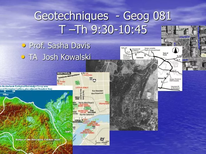
Geotechniques - Geog 081 T –Th 9:30-10:45. Prof. Sasha Davis TA Josh Kowalski. Geotechniques - Geog 081. Remote sensing Map interpretation Geographical data acquisition, management, and analysis Introduction to Geographic Information Systems Map production. So What????????.

E N D
Geotechniques - Geog 081T –Th 9:30-10:45 • Prof. Sasha Davis • TA Josh Kowalski
Geotechniques - Geog 081 • Remote sensing • Map interpretation • Geographical data acquisition, management, and analysis • Introduction to Geographic Information Systems • Map production
So What???????? • Remote sensing • Map interpretation • Geographical data acquisition, management, and analysis • Introduction to Geographic Information Systems • Map production
Remote Sensing • http://na.unep.net/OnePlanetManyPeople/AtlasDownload/UNEP_Atlas/Atlas_3-4-Forest_Screen.pdf • http://na.unep.net/OnePlanetManyPeople/AtlasDownload/UNEP_Atlas/Atlas_3-7-Urban_Screen.pdf
Remote Sensing • …is the gathering of information by means of a sensor that is not in contact with the object being detected.
Interpretation Shape size tone color texture pattern relative location shadow Remote Sensing
Remote Sensing • Interpretation • Shape • size • tone • color • texture • pattern • relative location • shadow