Download
1 / 14
140 likes | 265 Views
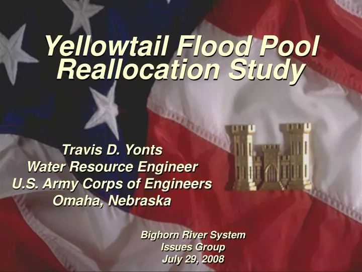
Yellowtail Flood Pool Reallocation Study. Travis D. Yonts Water Resource Engineer U.S. Army Corps of Engineers Omaha, Nebraska. Bighorn River System Issues Group July 29, 2008. Presentation Overview. Project background Computer simulation efforts What has been done to this point?

E N D
Yellowtail Flood PoolReallocation Study Travis D. Yonts Water Resource Engineer U.S. Army Corps of Engineers Omaha, Nebraska Bighorn River System Issues Group July 29, 2008
Presentation Overview • Project background • Computer simulation efforts • What has been done to this point? • What’s next? • Questions
Evaluate the change in flood reduction benefits due to reallocation of flood control storage to joint use storage for Yellowtail Dam and Bighorn Lake. Project Objective
BIGHORN LAKE STORAGE ALLOCATION Dam Crest Elev. 3660.0 3657 (1,328,360 AF) Surcharge - 52,829 Acre-Feet Exclusive Flood Control - 258,331 Acre - Feet 3640 (1,070,029 Acre - Feet) Joint Use - 240,342 Acre - Feet 3614 (829,687 Acre - Feet) Active Conservation - 336,103 Acre - Feet Top of Conservation Elev. 3547.00 (493,584 Acre - Feet) Inactive Conservation - 477,576 Acre - Feet Top of Dead Elev. 3296.50 (16,008 Acre - Feet) Dead - 16,008 Acre - Feet
PROPOSED STORAGE ALLOCATION Dam Crest Elev. 3660.0 3657 (1,328,360 AF) Surcharge - 52,829 Acre-Feet Exclusive Flood Control - 190,846 Acre - Feet 3645 (1,137,514 Acre - Feet) Joint Use - 307,827 Acre - Feet 3614 (829,687 Acre - Feet) Active Conservation - 336,103 Acre - Feet Top of Conservation Elev. 3547.00 (493,584 Acre - Feet) Inactive Conservation - 477,576 Acre - Feet Top of Dead Elev. 3296.50 (16,008 Acre - Feet) Dead - 16,008 Acre - Feet
HEC-ResSim(Reservoir Evaluation System-Simulation) • Single or multiple reservoir systems • Flood control • Hydropower • Water supply (M&I, irrigation, etc) • Diversions • Navigation • Flow targets (max & min) • POR or event simulation
Data Requirements • Daily stream flow 1967-2007 • Daily reservoir inflow, outflow, storage • Daily precipitation, evaporation • Elevation-area-capacity relationships • Spillway & outlet rating curves • Downstream discharge-damage functions • Reservoir operating criteria/storage zones • Project design floods • Local flow calculations
Yellowtail Downstream Control Points Sidney Miles City Yellowstone River Bighorn Billings Bighorn River St. Xavier Bighorn Lake
Example ResSim Outputs • Reservoir elevation • Reservoir releases • Flows at downstream control points
What’s next? • Continue ResSim model calibration. • Perform baseline ResSim simulation. • Current conditions • Perform proposed ResSim simulation. • Include 5 ft pool raise
What’s next? • Develop analytical relationships for baseline and proposed simulations. • Pool probability, pool duration • Flow frequency, flow duration • Compute net flood benefits • Determine impact of pool raise on project design flood. • Evaluate change in flood reduction benefits.