Download
1 / 20
210 likes | 506 Views
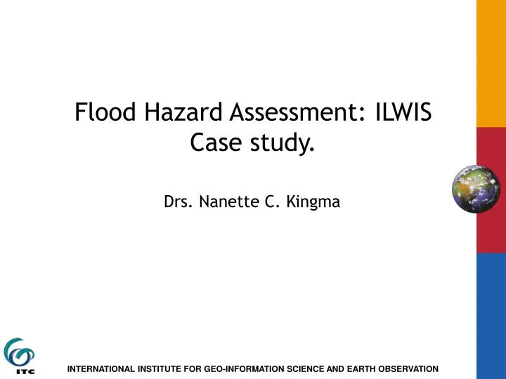
Flood Hazard Assessment: ILWIS Case study. Drs. Nanette C. Kingma. Generalized physiographic map. From: Geological map of Bangladesh, 1990. Flood map Bangladesh. Extreme flooding: 1988. 1987 : Dry Season. SPOT band 1 1987 dry-season. SPOT band 2 1987 dry-season. SPOT band 3

E N D
Flood Hazard Assessment: ILWIS Case study. Drs. Nanette C. Kingma
Generalized physiographic map. From:Geological map of Bangladesh, 1990.
1987 : Dry Season. SPOT band 1 1987 dry-season SPOT band 2 1987 dry-season SPOT band 3 1987 dry-season
Moderate Flood 1987 SPOT band 1 1987 flood SPOT band 2 1987 flood SPOT band 3 1987 flood
Severe flood 1988 SPOT band 1 1988 flood SPOT band 2 1988 flood SPOT band 3 1988 flood
Overview DRY 87 MFL 87 FL 88
Why band ratio’s • Clouds • Shadows
Band Ratio DRY 1987. Brdry87: Band ratio: band3/band1 dry-87.
Band Ratio Moderate Flood 1987 Brmfl87: Band ratio: band3/band1 mfl-87.
Band Ratio Severe Flood 1988 Brfl88: Band ratio: band3/band1 flood-88.
Slicing of Brdry87 into land and water. Dry87wl: Slicing into water and land of band ratio 3/1 dry 87.
Slicing of Brmfl87 into land and water. Slicing into water and land of band- ratio 3/1 mfl-87 .
Slicing of Brfl88 into land and water. Fl88wl: Slicing into water and land of band- ratio 3/1 flood88 .
Cross operation result: dry87wl and mfl87wl . Cross dry87wl and mfl87wl output map Dryfl.
Crossing of: DryFl with fl88wl. Final result map Crossing of: dry87wl, mfl87wl, and fl88wl.
Bangladesh: Confluence Ganges - Meghna. Cross table: maps drywl-mfl87wl Cross table:final map drymflcr - fl88wl.
Bangladesh: Confluence Ganges - Meghna. Final result map crossing of: dry87wl, mfl87wl, and fl88wl; with legend.